Published on · Updated on
The Costa do Descobrimento (Discovery Coast) is the tourist zone of southern Bahia formed by Porto Seguro, Santa Cruz Cabrália and Belmonte. In fact, it was there that, on 22 April 1500, Cabral’s fleet sighted Monte Pascoal. In addition, the region includes Arraial d’Ajuda, Trancoso and Caraíva, which are districts of Porto Seguro. So, in this guide to the Costa do Descobrimento, you will find the map, the towns, the parks and things to do.
- Municipalities: Porto Seguro, Santa Cruz Cabrália and Belmonte.
- Famous villages: in addition, Arraial d’Ajuda, Trancoso and Caraíva, in Porto Seguro.
- History: first of all, Monte Pascoal was sighted on 22 April 1500.
- Nature: there are also the Monte Pascoal, Pau Brasil and Descobrimento National Parks.
- UNESCO: the Discovery Coast Atlantic Forest Reserves (Reservas da Mata Atlântica da Costa do Descobrimento) have been a World Heritage Site since 1999.
Map of the Costa do Descobrimento
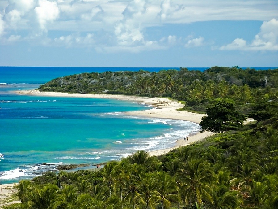
In general, the coastline runs from Belmonte, in the north, to Caraíva, in the south. Along the way, for example, there are deserted beaches as well as very busy ones, near villages that fill up in summer. For this reason, accommodation ranges from campsites to resorts.

Videos about the Costa do Descobrimento
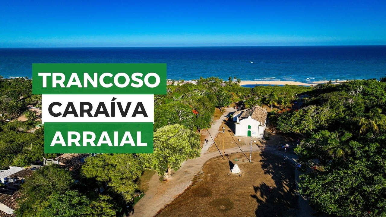
Caraíva, Trancoso e Arraial: Três paraísos do litoral baiano

Santa Cruz de Cabralia - Drone03:33

O que fazer e onde ficar em PORTO SEGURO!14:16

Costa do Descobrimento - Documentário

Arraial d'Ajuda - Drone04:02
Trancoso na Bahia01:04
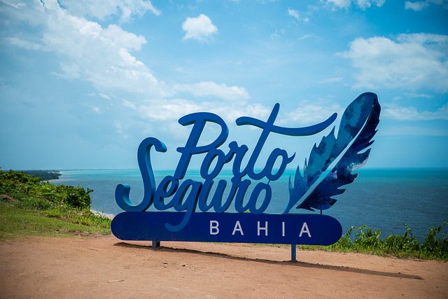
Porto Seguro na Bahia09:54

Santa Cruz Cabrália14:58

Trancoso na Bahia13:54

Drone - Santa Cruz Cabrália03:50
Arraial D'ajuda na Bahia13:09
Towns and villages of the Costa do Descobrimento
| Destination | Municipality | Highlight |
|---|---|---|
| Porto Seguro | Porto Seguro | Historic Centre and Passarela do Descobrimento |
| Arraial d’Ajuda | Porto Seguro | Rua do Mucugê and beaches with cliffs |
| Trancoso | Porto Seguro | Quadrado and Praia do Espelho |
| Caraíva | Porto Seguro | Car-free village, river and beach |
| Santa Cruz Cabrália | Santa Cruz Cabrália | Coroa Vermelha and, in addition, Coroa Alta |
| Belmonte | Belmonte | Mouth of the rio Jequitinhonha |
Porto Seguro
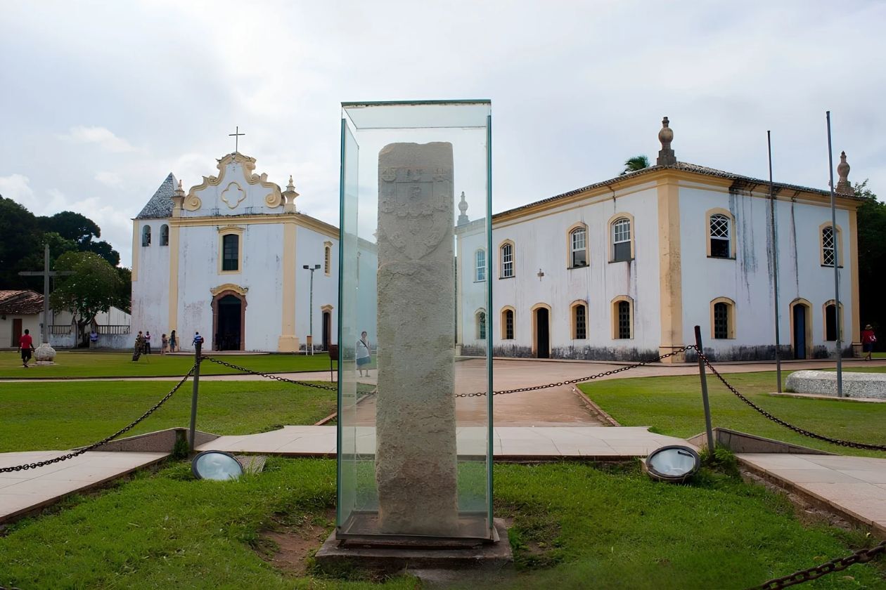
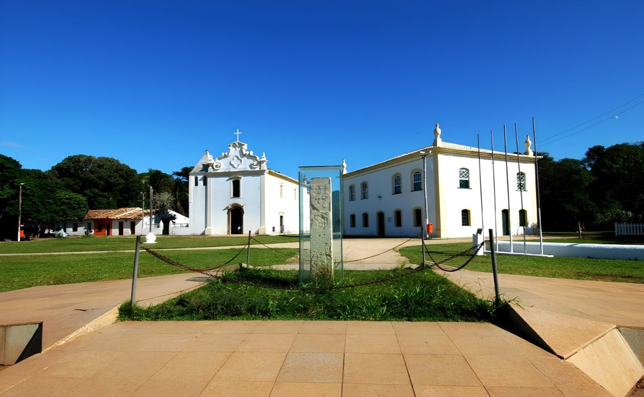
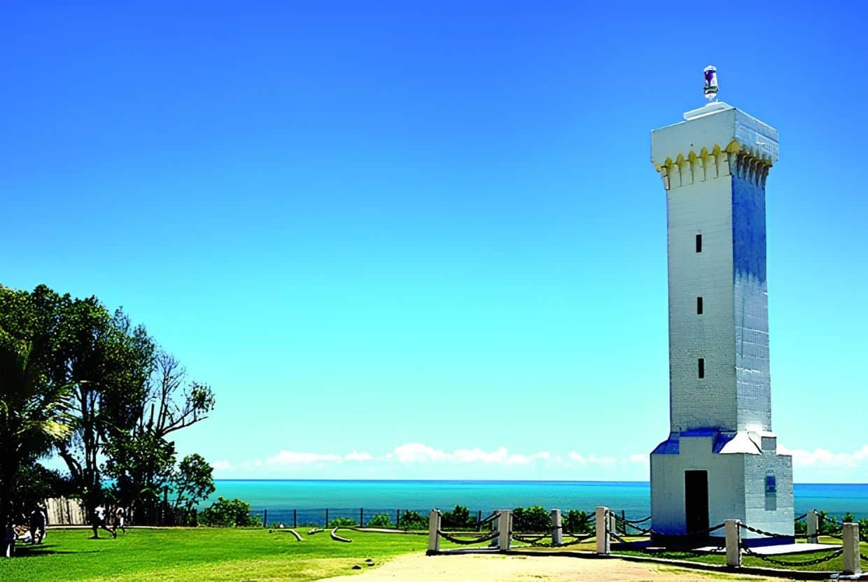
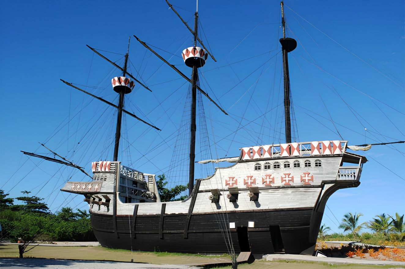
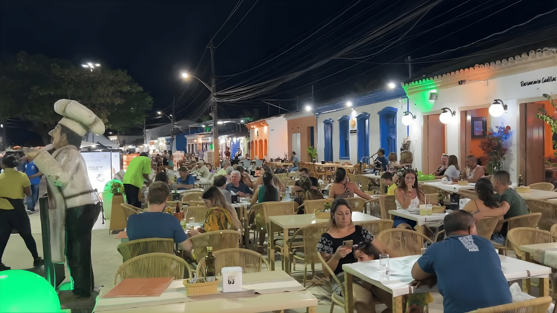
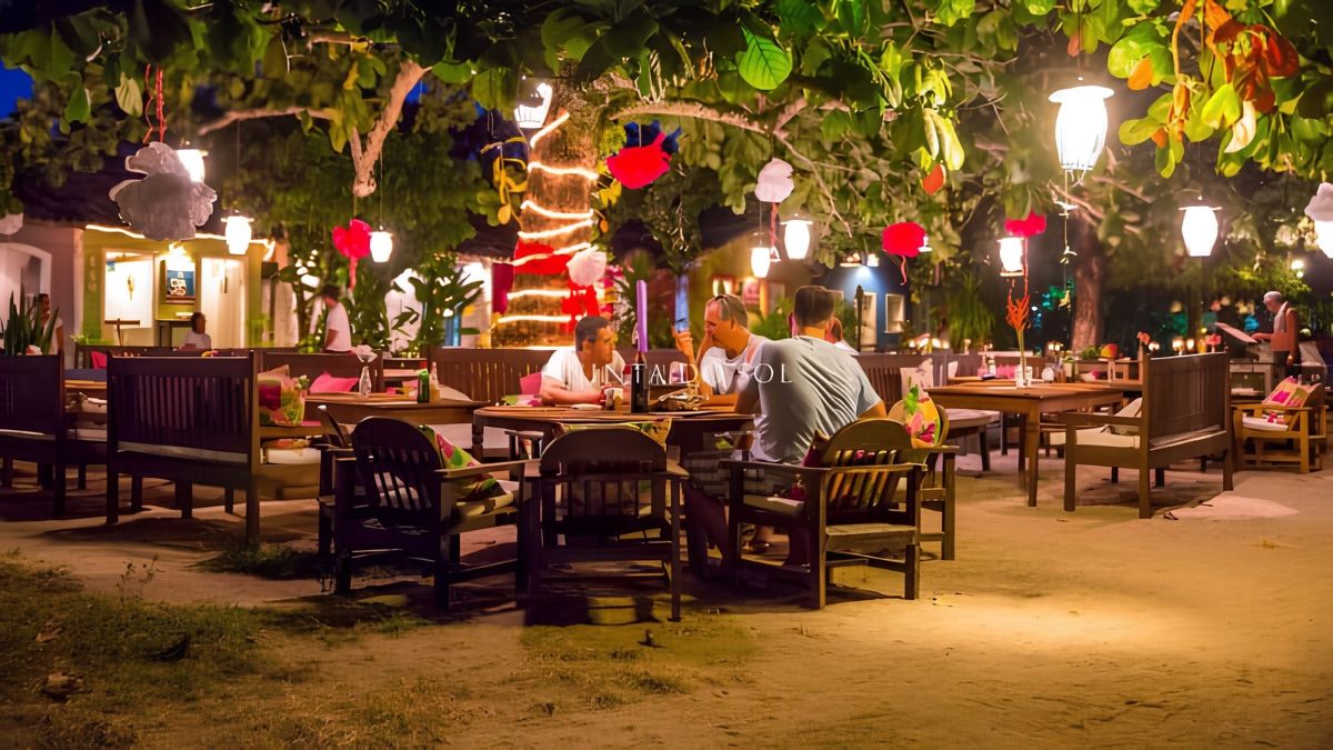
Porto Seguro is, incidentally, crossed by the rio Buranhém. Up on the hill, the Cidade Alta brings together the Church of Nossa Senhora da Pena, colonial mansions and the Marco do Descobrimento, made of stone brought from Portugal. Moreover, the ensemble was listed as heritage in 1968. At night, in turn, the Passarela do Descobrimento, or Passarela do Álcool, is packed with bars and restaurants.
Arraial d’Ajuda
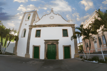
On the other side of the river, after the ferry, lies Arraial d’Ajuda. In general, the village combines beaches and nightlife, especially on Rua do Mucugê and the Broadway. In addition, the chapel of Nossa Senhora d’Ajuda, dating from 1549, overlooks the sea.


Trancoso
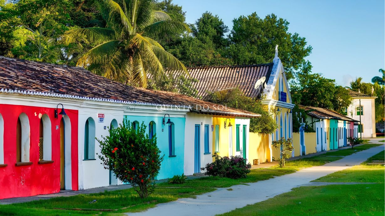
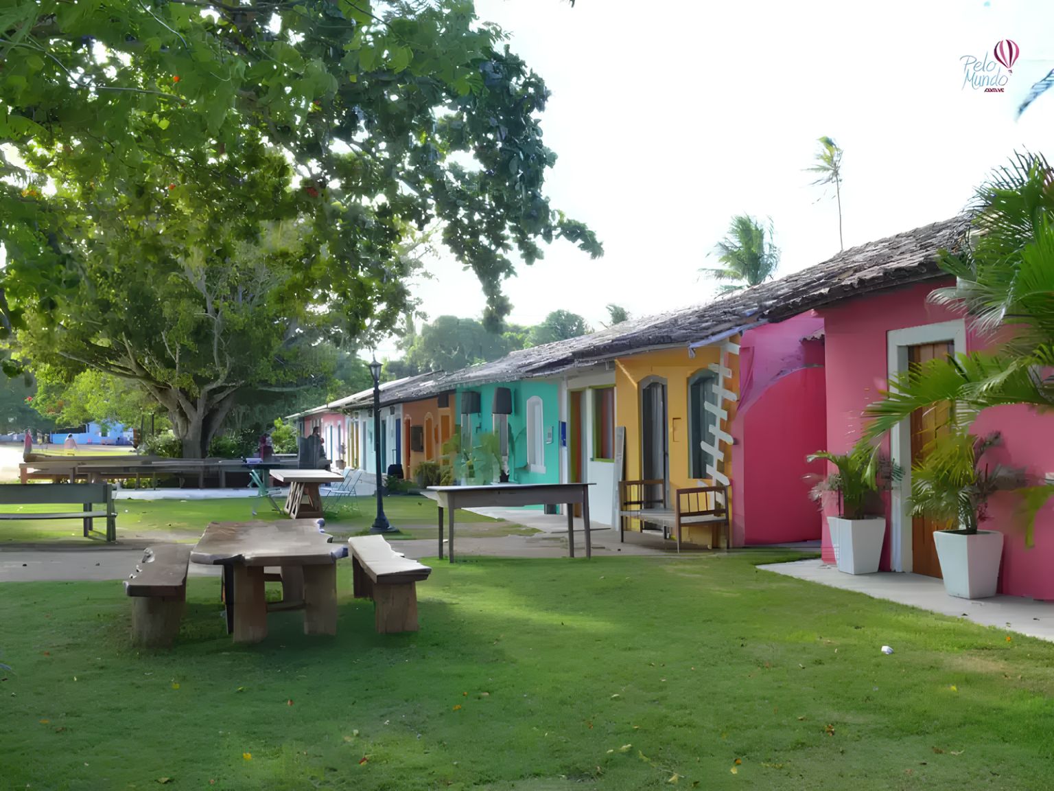
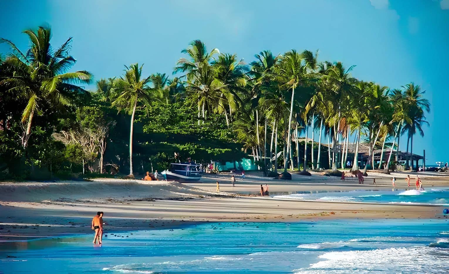
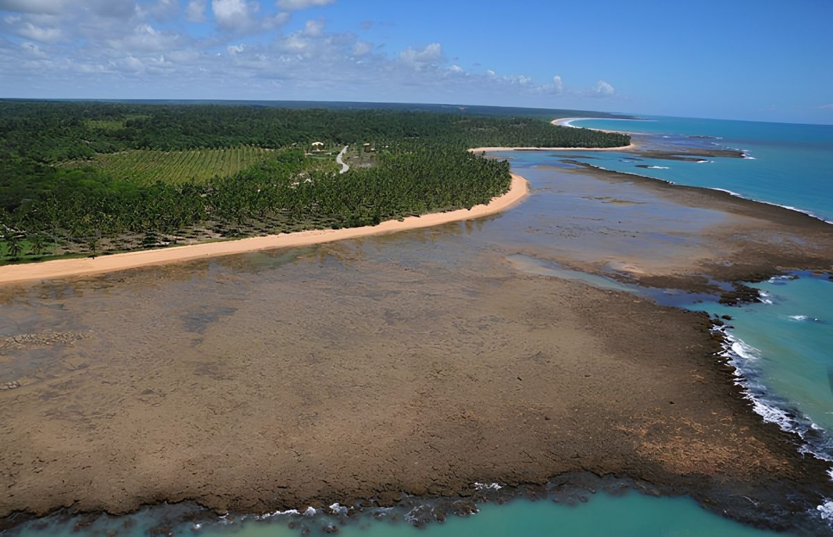
Trancoso began as a Jesuit mission village and, today, is famous for the Quadrado. There, for example, colourful little houses surround the square and, at the far end, stands the Church of São João Batista. Nearby, for instance, is Praia dos Coqueiros, with calm waters. Further south, on the way to Caraíva, lies Praia do Espelho, one of the most beautiful beaches in the region.

Caraíva
Finally, Caraíva is a fishing village with sandy streets and no cars. There, in general, you can float down the rio Caraíva on a tube, paddle a kayak or go to Praia do Satu.


Santa Cruz Cabrália
About 23 km from Porto Seguro, Santa Cruz Cabrália generally has calm beaches, protected by reefs. In fact, the first Mass in Brazil was celebrated in Coroa Vermelha, on 26 April 1500. In addition, boats take visitors to the Coroa Alta Marine Park, which is great for snorkelling.


Belmonte
To the north, Belmonte lies at the mouth of the rio Jequitinhonha. Therefore, it is the gateway to the Costa do Descobrimento for those coming from the north. Nearby, it is also worth visiting Santo André, in Cabrália.
National parks and World Heritage
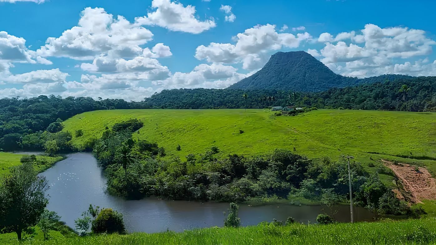
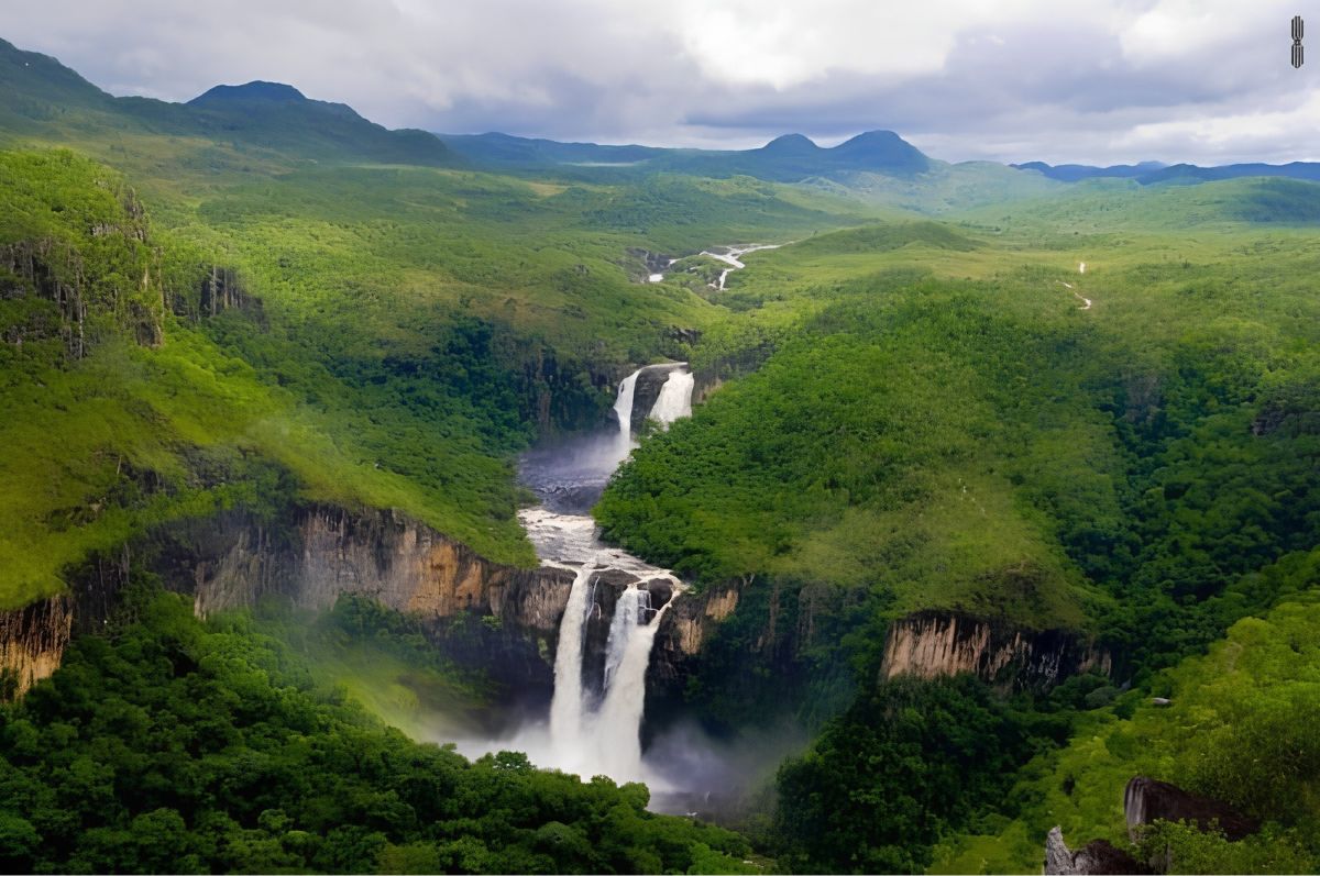
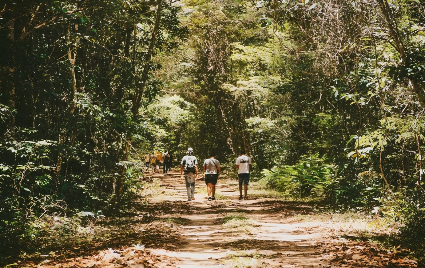
In 1999, UNESCO recognised the Discovery Coast Atlantic Forest Reserves (Reservas da Mata Atlântica da Costa do Descobrimento) as a World Heritage Site. Altogether, there are eight protected areas in Bahia and Espírito Santo, covering almost 112 thousand hectares. Among them, for example, are three national parks:
- Monte Pascoal: first, created in 1961, it protects the mountain sighted by Cabral.
- Pau Brasil: in addition, it is located in Porto Seguro; created in 1999, it was enlarged in 2010.
- Descobrimento: finally, it is located in Prado; created in 1999, it has covered 22,693 hectares since 2012.
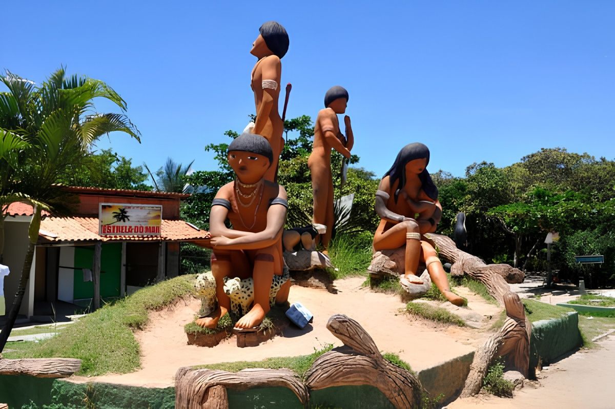
There are also indigenous lands of the Pataxó people, such as in Coroa Vermelha and Barra Velha.
Getting there and surroundings
First of all, the fastest way to get there is via Porto Seguro airport. Then, paved highways connect the main towns, and the ferry crosses the rio Buranhém to Arraial d’Ajuda. To learn more about 1500, also see the history of the Costa do Descobrimento.
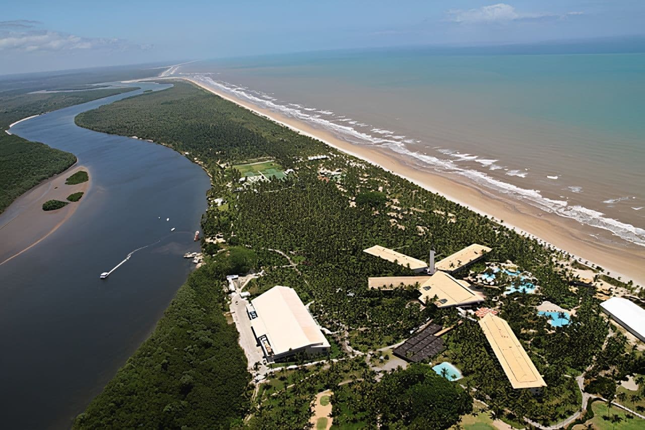
On the other hand, to the north, already on the Costa do Cacau (Cocoa Coast), lies Ilha de Comandatuba, in Una, with resorts and secluded beaches.
Frequently asked questions about the Costa do Descobrimento
Which towns are part of the Costa do Descobrimento?
Porto Seguro, Santa Cruz Cabrália and Belmonte.
In addition, Arraial d’Ajuda, Trancoso and Caraíva are districts of Porto Seguro.
Why is it called the Costa do Descobrimento?
Because, in fact, it was there that Cabral’s fleet sighted Monte Pascoal, on 22 April 1500.
Later, the first Mass was celebrated in Coroa Vermelha.
Is the Costa do Descobrimento a UNESCO Heritage Site?
Yes; after all, the region’s Atlantic Forest reserves have been a World Heritage Site since 1999.
Among them, for example, are the Monte Pascoal and Pau Brasil parks.
Which airport serves the Costa do Descobrimento?
In general, the one in Porto Seguro.
From there, highways and the ferry connect the villages.
Is Ilha de Comandatuba on the Costa do Descobrimento?
No; in fact, it is in Una, on the Costa do Cacau.
Even so, it borders the region.

Publicações Relacionadas
Arembepe Beach, Bahia: Hippie Village, Piruí and map

Paranaguá Palace — History, architecture and visiting information | Ilhéus (BA)

São Jorge Parish Church: historic church in Ilhéus, Bahia

Piedade Church, Ilhéus: history, convent and stained glass

Ilhéus Cathedral (São Sebastião): history and visit

Skydiving, Paragliding and Ballooning in Bahia

Historic Towns in Bahia: A Journey Through Time
Places to visit on the south coast of Bahia

História da Arte - Caracteristicas, Aspectos e Periodos
30 tourist attractions in Bahia, Brazil, by region

Subaúma, Bahia: where it is, things to do and where to stay
Massarandupió Naturist Beach, Bahia: Rules and Access
Beaches on the South Coast of Bahia: 10 Best and Tips
Towns and the Abrolhos Archipelago — The southernmost tip of Bahia

Baixio: Between lagoons, dunes and the charm of a village surrounded by nature
26 best beaches in Bahia, Brazil: list by region
Salinas da Margarida & Barra do Paraguaçu: beach guide

Guarajuba Beach, Bahia: Natural Pools and Tips

Barra do Cahy, Bahia: where it is and how to get there

Garcez Beach and Ilha d’Ajuda, Bahia: how to get there

Rio de Ondas, Barreiras: Acaba Vida and Redondo waterfalls
Cachoeira dos Catabrigas, Bahia: photos and how to get there

Serra Grande, Bahia: beaches, map and things to do
Corumbau, Bahia: Ponta de Corumbau, beaches, map, how to go

Taipu de Fora: Discovering Natural Pools

Iguaí (BA): attractions, waterfalls, map and history
Morro de São Paulo: Map, Beaches & How to Get There (2026)
São Francisco do Conde, Bahia: what to do and history
Bay of All Saints, Bahia: history, islands and Recôncavo

Rafting in Taboquinhas: The Ultimate Adventure Guide
Abseiling Sites in Bahia: Top Locations to Explore

Diving Spots in Bahia: Discover Underwater Treasures
Paragliding at Pitinga Beach in Arraial d'Ajuda
Extreme Sports in Bahia: Adventure Awaits You

Skydiving in Bahia: An Unforgettable Experience