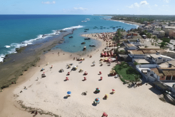
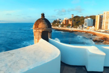
Documentary Video on Todos os Santos Bay


History
The bay was named on 1 November 1501 (All Saints’ Day), when a Portuguese expedition led by Gaspar de Lemos, with the participation of Amerigo Vespucci, mapped the region. The practice of naming geographical features after the saint of the day was common at the time.
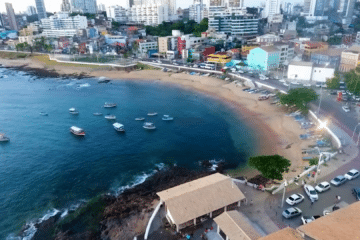
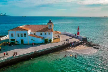
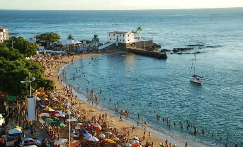
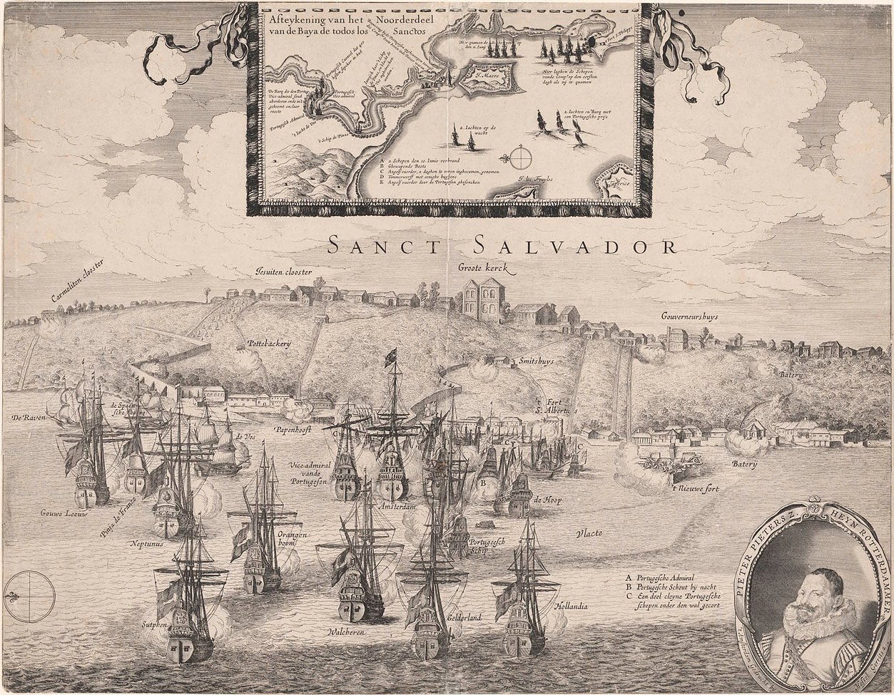
Its wide and deep inlet attracted sailors, pirates and colonisers as it offered a good anchorage, natural defences, waters rich in fish and fertile land. These characteristics influenced Tomé de Sousa’s choice of the region, on the orders of the King of Portugal, for the founding of Salvador, Brazil’s first colonial capital.
During the colonial period, the bay was one of the main ports in the South Atlantic for the export of products such as sugar and for the shipment of metals, as well as being an important point of arrival for people brought from Africa as slaves. It is recommended to avoid absolute superlatives without specific quantitative historical reference.


Geographical features
Todos os Santos Bay comprises three main sub-bays:
- Itaparica Bay — formed by the extensive Itaparica Island and the western coastline;
- São Francisco Bay — with deltaic features and several islands, including Ilha dos Frades;
- Salvador Bay — the eastern section, which is deeper and navigable by vessels with greater draught, and which borders the state capital.
Many stretches of the shoreline are shallow and covered by mangroves. The main river flowing into the bay is the Paraguaçu, approximately 500–520 km long according to various sources, originating in the Chapada Diamantina region.
Islands, municipalities and environmental protection
The bay is home to several islands (Itaparica, Ilha dos Frades, amongst others) and has been designated an environmental protection area. State Decree No. 7,595, of 5 June 1999, established the Baía de Todos-os-Santos Environmental Protection Area (APA), covering the waters and islands and setting out conservation and management measures.
The APA includes municipalities such as: Cachoeira, Candeias, Itaparica, Jaguaripe, Madre de Deus, Maragogipe, Salinas da Margarida, Salvador, Santo Amaro, São Francisco do Conde, Saubara, Simões Filho and Vera Cruz.
Use, navigation and culture
The bay serves as a natural route between Salvador and the centres of the Recôncavo, with heavy traffic of local vessels and tourist activities (boat trips, diving). Culturally, the Bay of Todos-os-Santos played a central role in the development of the Recôncavo Baiano and the city of Salvador, contributing to the region’s religious, musical and culinary traditions.

Publicações Relacionadas
History of São Marcelo Fort — Salvador, Bahia
Rafting in Taboquinhas: The Ultimate Adventure Guide
Caravelas (BA) — Complete Guide: Beaches, History and Abrolhos
Camaçari: Industry, History and Natural Beauty
Campo Formoso: Explore Caves and Emerald Trade
Trekking in the Pati Valley in Chapada Diamantina
South Coast of Bahia: Discover Stunning Beaches
Prado (BA) — Beaches, Cliffs and Whale Watching | Whale Coast
Guide to Trancoso (BA) — what to do, beaches and inns
Abseiling Sites in Bahia: Top Locations to Explore
Cairu Archipelago: A Guide to Its Enchantment
Church of São Pedro dos Clérigos — History, architecture and religious art
Ilhéus: A Journey Through Bahia's Rich History
Discover the São Francisco River Valley Region - Tourist Guide
Alameda do Sol — Vila da Praia do Forte (BA) | Things to do
Costa do Dendê: A Tropical Paradise in Bahia
Complete Guide to Visiting Arraial d'Ajuda in Bahia
Tourist Attractions and Documentaries about Chapada Diamantina
Trekking - Popular trails in Chapada Diamantina
Waterfalls of Chapada Diamantina: A Guide for Adventurers
History of the settlement of Chapada Diamantina
Island of Fear: Mysteries and Hauntings
Salvador’s Historic Centre, Pelourinho, Baroque churches and museum
Things to Do in Nova Viçosa (Bahia): Beaches, Islands and Abrolhos
Madre de Deus Island (BA) — Beaches, Islands and Tourism in the Recôncavo
Tourist Regions of Bahia: Discover the diversity of the state
Caraíva: A rustic and unspoilt paradise in the south of Bahia
Tourist Guide to the Pantanal in Bahia — Jaguaripe (BA) | Mangroves, Fishing and Excursions
Cultura dos Índios Pataxós na Costa do Descobrimento
Ponta de Corumbau — an unspoilt paradise on the southern coast of Bahia
Jandaíra: Discover the charm of Mangue Seco
São Sebastião Cathedral (Ilhéus) — History, architecture and tourism
Praia do Forte, Bahia: The Complete Travel Guide
Cocoa farms attract tourists to Bahia - Chocolate Road
Barreiras: Where Carnival Meets Adventure Tourism
Maraú Peninsula: A Coastal Paradise in Bahia
This post is also on:
 Português
  English
  Deutsch
  Español
  Français