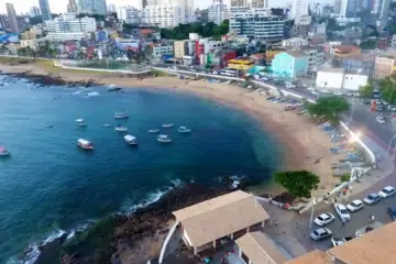
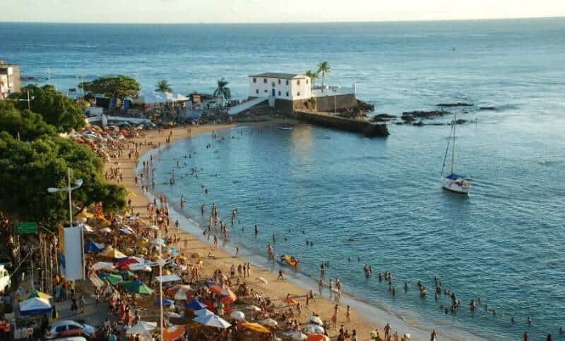
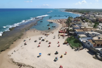
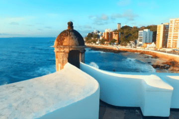
The Bay of Todos os Santos and its recôncavos form a vast natural amphitheatre where nature, history and culture intertwine, creating an ideal setting for water-based tourism and ecotourism.
The bay is home to calm waters and around 56 islands. In addition, there are beaches, mangrove swamps, sandbanks, forests, rivers and historical remains such as the ruins of sugar mills, churches and convents.

Salvador: the historic centre and its architectural influence
Facing west, the city of Salvador dominates the bay’s landscape. For over two centuries, it was Brazil’s colonial capital and played a central role in the region’s trade and culture. Baroque architecture and Portuguese-influenced urban planning also left their mark on the towns of the Recôncavo Baiano.
Cultural richness and cultural mixing
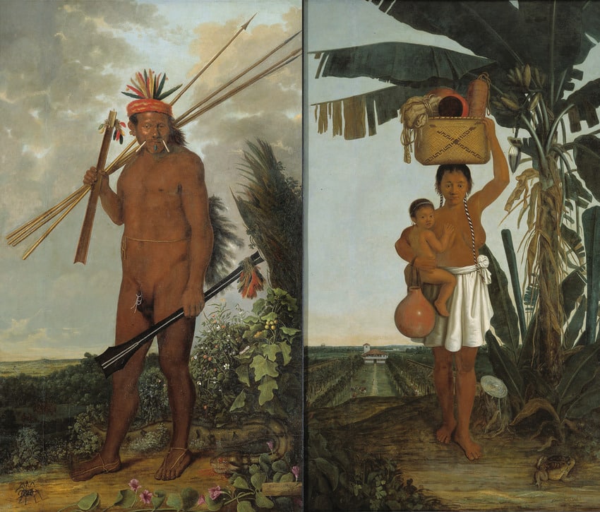
The blending of European, African and indigenous cultures has given rise to a unique folklore, a distinctive cuisine and artistic expressions that are characteristic of the Recôncavo.
Environmental protection (APA)
To protect the islands and regulate socio-economic uses, the Baía de Todos os Santos Environmental Protection Area (APA) was established by State Decree No. 7,595 of 5 June 1999. The APA covers waters and islands containing remnants of Atlantic Forest, mangroves and sandbanks.
Geographical overview
- Commonly cited area of the bay: approximately 1,052 km².
- Approximate outline: ~200 km of coastline indented by coves and lagoons.
- Main rivers: Paraguaçu, Jaguaripe and Subaé.
- Main islands: Itaparica (the largest), Ilha dos Frades, Ilha da Maré, Madre de Deus and others.
Note on numerical variations: different sources show slight variations in measurements and counts (total area of the bay, area of Itaparica Island, number of islands).
1. Historical and cultural aspects
1.1 The Creation Myth
A Tupinambá legend tells of a large bird with white feathers that is said to have fallen on the coast, its wings forming white beaches; the spot where its heart struck the ground split open and was flooded by the sea, giving rise to the cove known as Kirimuré, later named Baía de Todos os Santos.
1.2 Early European contacts
Historical accounts mention Portuguese voyages and Amerigo Vespucci’s entry into the bay’s mouth on 1 November 1501 — a date associated with the name ‘All Saints’.”
1.3 Fortifications and Ponta do Padrão
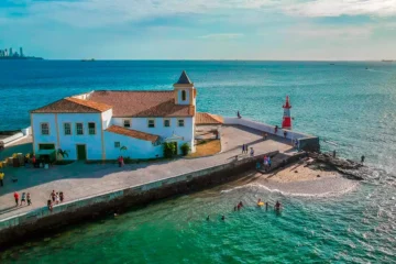
A marker was erected at the entrance to the strait and, between 1583 and 1587, the Fort of Santo Antônio da Barra — now known as the Barra Lighthouse — was built to guide ships entering the bay.
1.4 The Founding of Salvador
In 1549, Tomé de Souza’s fleet landed in the bay and began the founding of Salvador, which became the administrative and cultural centre of the colony.
1.5 Colonisation and sugar mills

The Recôncavo region developed its sugar industry, with numerous sugar mills and the intensive use of slave labour. It was during this period that towns and cities emerged, many of which still preserve their grand houses, churches and architectural heritage.
2. A treasure trove of beauty and history

Bordered by the Barra Lighthouse and Ponta do Garcez, the bay combines natural and cultural heritage. Nearby municipalities include Salvador, Itaparica, Vera Cruz, Madre de Deus, São Francisco do Conde, Cachoeira, Santo Amaro and São Félix.
3. Water-based tourism
The bay has a long maritime tradition. Today it hosts regattas, events and leisure activities; it also has facilities for boats and water sports operators.
3.1 Diving and shipwrecks
The reefs and shipwrecks in the bay attract divers. Notable sites include:
- Reefs off Porto da Barra (~12 m; visibility 10–15 m).
- “Wall” between Itaparica and Salvador (cliffs 25–45 m high; visibility varies).
- Reefs near Ilha da Maré (depth ~11 m; good visibility).
- Places such as Pontinha and Caramunhãs (Itaparica) — excellent for introductory dives and recreational diving.
Historical accounts mention shipwrecks that have occurred in the bay over the centuries, which are now of interest to divers and underwater researchers.
4. Ecotourism
Ecotourism includes visits to the islands, mangrove and bird watching, river trips in the Paraguaçu and Jaguaripe estuaries, hiking trails and cultural tourism in the Recôncavo.
4.1 Islands and biodiversity
The 56 islands feature tranquil beaches, natural pools and remnants of the Atlantic Forest. Itaparica Island is the largest island in the bay; sources may differ as to its exact area.
4.2 The historic Recôncavo
Towns such as Cachoeira, São Félix, Santo Amaro, Jaguaripe and Nazaré have preserved their 18th-century Baroque architecture and heritage linked to regional economic cycles.
Frequently Asked Questions (FAQ)
1. Is it safe to go diving in Todos os Santos Bay?
Yes, with certified operators and guides. Observe depth limits, local currents and safety recommendations; check visibility and tide conditions before diving.
2. When is the best time to visit?
The dry months (usually April to September) generally offer better visibility for diving and milder weather for sightseeing. Summer brings events and a wider range of tourist attractions, but also occasional rain.
3. Is there any hotel accommodation in the areas around the bay?
Yes. Salvador has the largest selection of hotels, guesthouses and tourist services. Islands such as Itaparica and towns in the Recôncavo region offer guesthouses, rustic lodgings and accommodation options to suit a range of preferences.
Concluding remarks
Baía de Todos os Santos combines natural and cultural heritage: landscapes, legends, colonial history, nautical infrastructure and protected areas. Please check the links, images and meta tags in the WordPress editor before publishing.

Publicações Relacionadas
Baixio: Between lagoons, dunes and the charm of a village surrounded by nature
Blue Fountain in Chapada Diamantina: a complete guide
Beaches and Waterfalls of Itacaré: A Hidden Gem
Maraú Peninsula: Explore Its Stunning Beaches
Paranaguá Palace — History, architecture and visiting information | Ilhéus (BA)
The best beaches near Salvador (distance, facilities and tips)
Sempre-Viva: Symbol of Preservation in the Chapada Diamantina
Santo Antônio da Barra Fort — history, Barra Lighthouse and the Nautical Museu
São Jorge Parish Church in Ilhéus — history, architecture and religious art
Mata de São João and Praia do Forte: A Complete Guide
Birds Found in Chapada Diamantina: A Guide
History of São Marcelo Fort — Salvador, Bahia
Skydiving in Bahia: An Unforgettable Experience
Complete Guide to Visiting Arraial d'Ajuda in Bahia
Juazeiro: Discover the Land of the Carrancas
Bom Jesus dos Passos Island: A Complete Guide (Beaches, Church and How to Get There)
City of Camamu: Rich History by the Bay
Tourist Guide to the Pantanal in Bahia — Jaguaripe (BA) | Mangroves, Fishing and Excursions
Places of interest in Salvador — A comprehensive guide
Cocoa farms attract tourists to Bahia - Chocolate Road
Lacerda Elevator — history, construction and visits
Municipality of Una: A Beach Paradise Awaits
Camamu Bay — A Hidden Paradise in Bahia
History of the Founding of Salvador, Bahia - History of Brazil
Jandaíra: Discover the charm of Mangue Seco
Churches in Salvador (BA) — a guide: history, architecture and itinerary
Solar do Unhão & MAM-BA — History, Architecture and a Visit
Basílica Santuário Nossa Senhora da Conceição da Praia — history and architecture
Tourism in São Francisco do Conde (BA) — Tips and Attractions
Vila de Barra Grande na Bahia: Guia Completo para Turistas
The Tamar Project and turtle conservation
History and sights of Avenida Contorno in Salvador BA
Ecotourism in Bahia: discover village of Santo André
Trekking in the Pati Valley in Chapada Diamantina
Main islands of Todos os Santos Bay | Visitor’s Guide
South Coast of Bahia: Discover Stunning Beaches
This post is also on:
 Português
  English
  Deutsch
  Español
  Français