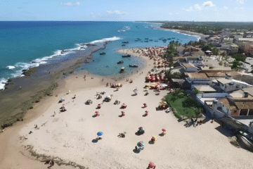
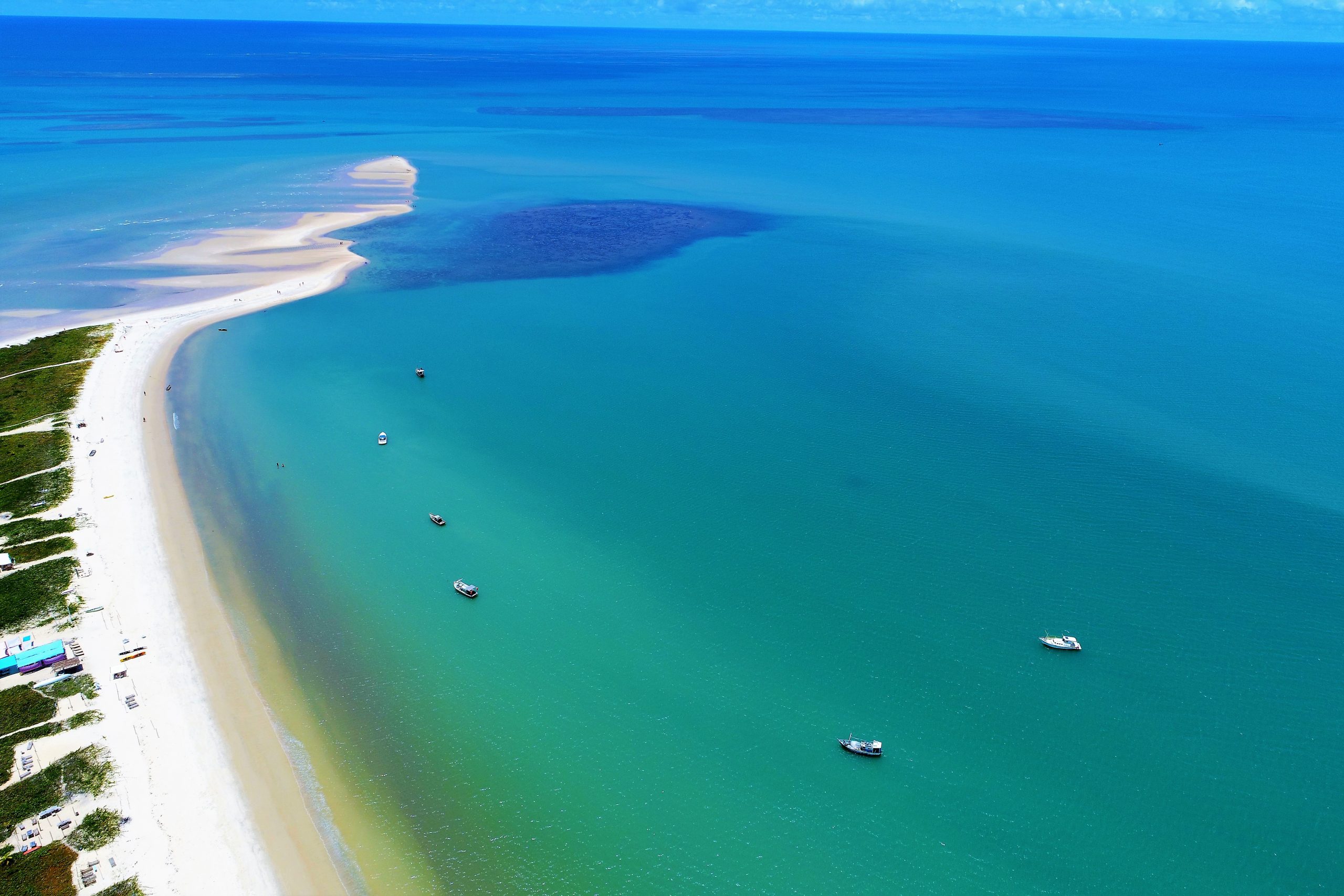
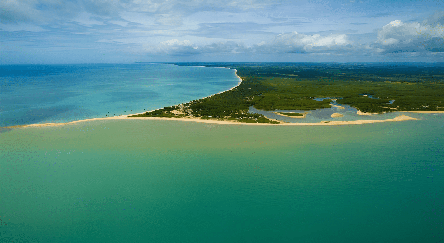
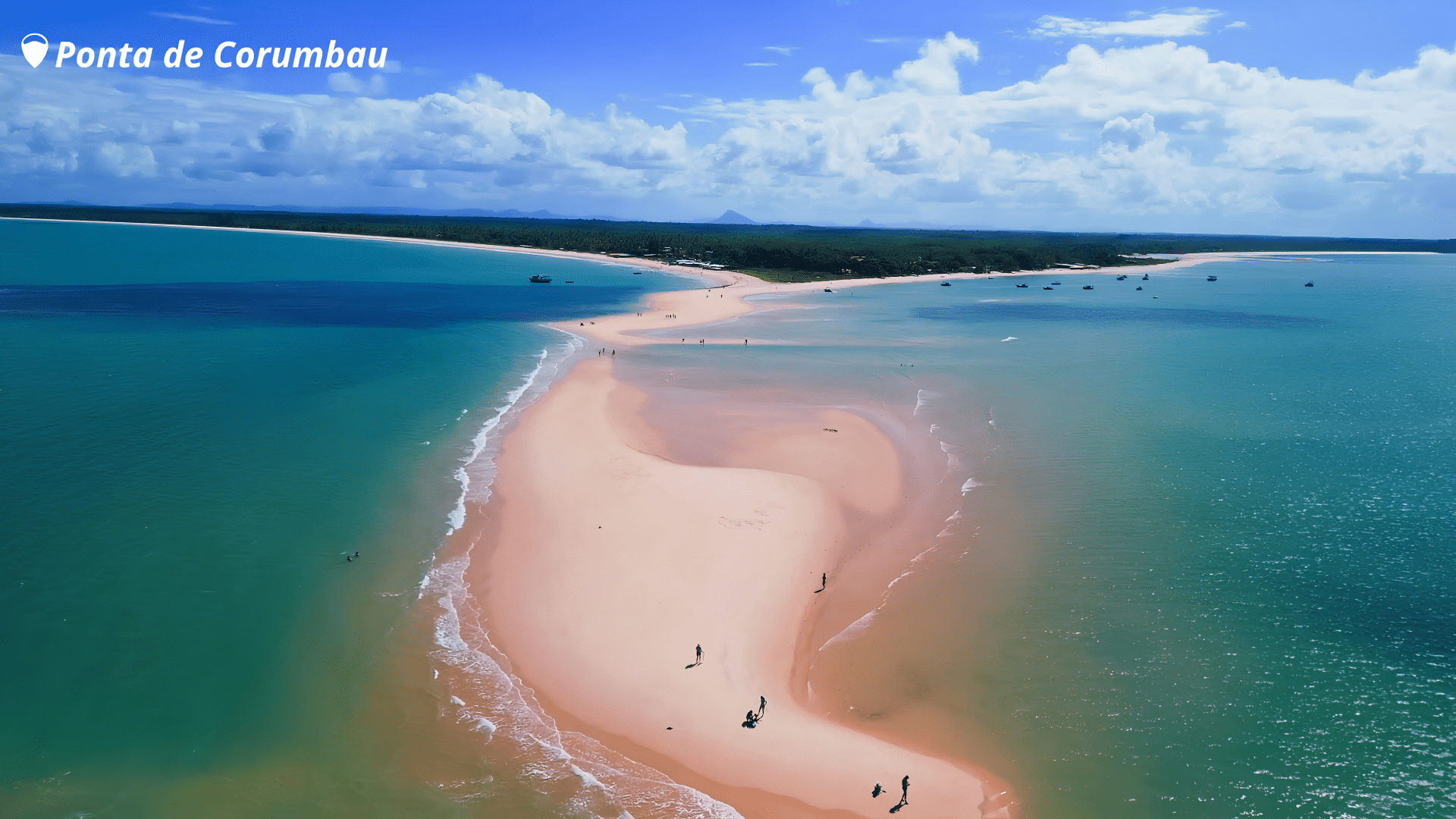
Ponta de Corumbau is a preserved stretch of coastline at the southernmost tip of Bahia, characterised by a headland some 2 km long that forms reefs and sandbanks which appear at low tide and disappear at high tide.
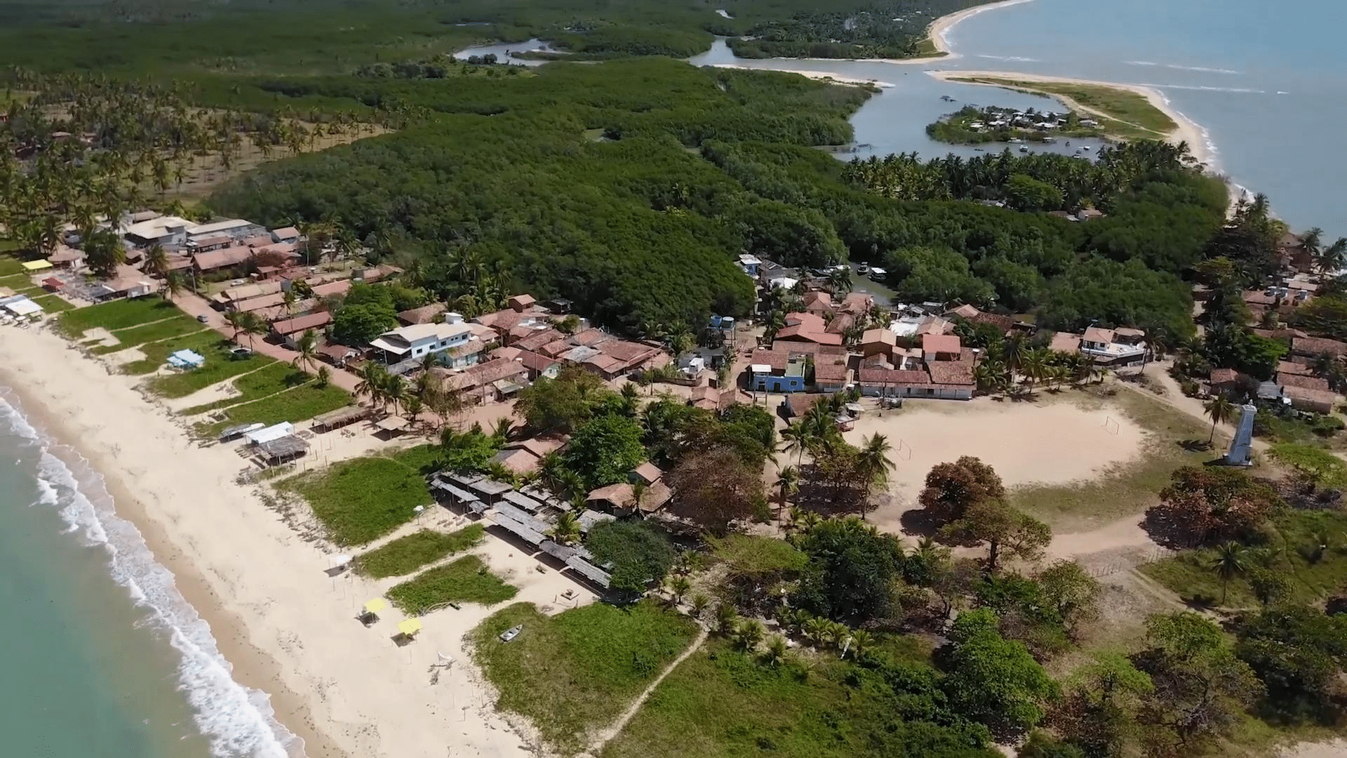
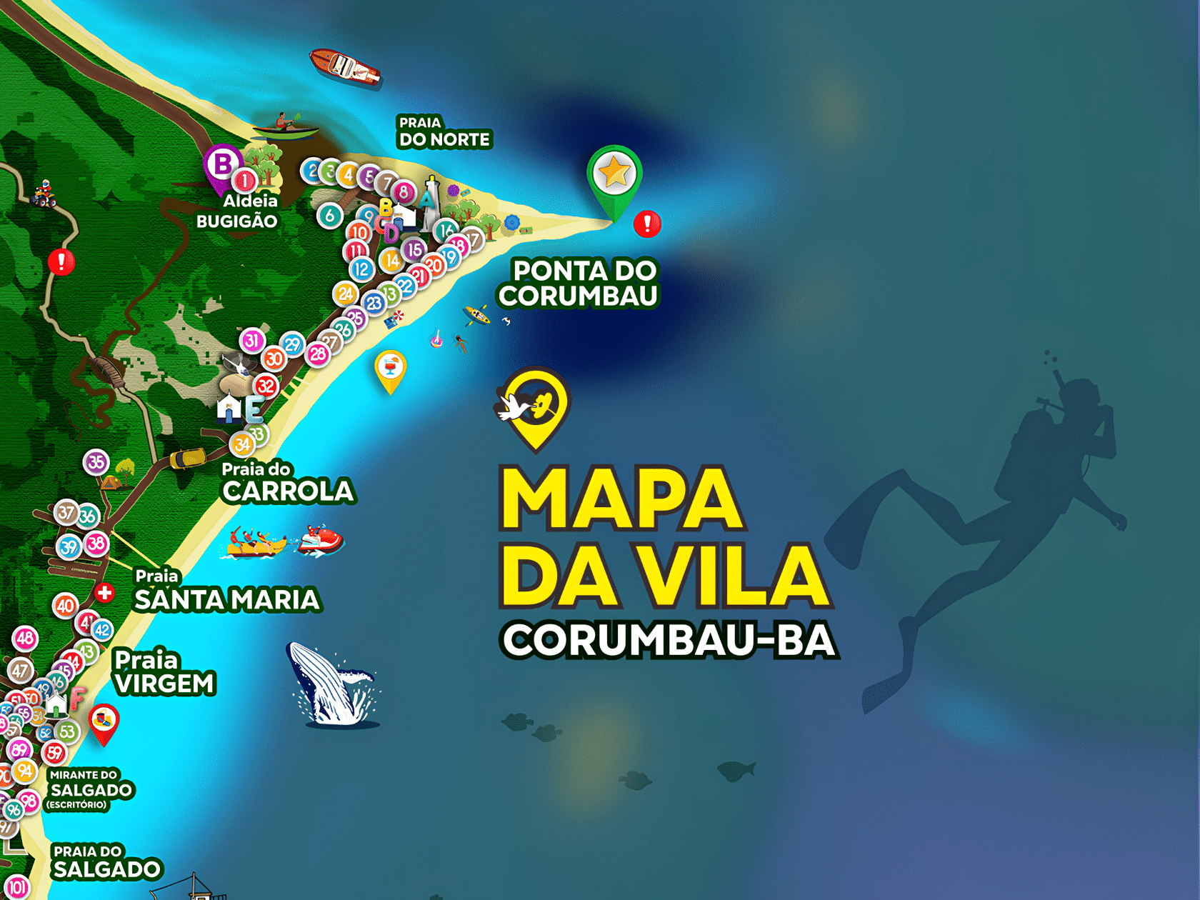
The headland is situated next to the village of Corumbau, at the mouth of the River Corumbau; the village lies at the foot of this headland and serves as the main base for visitors. It is an ideal destination for those seeking quiet beaches, snorkelling, traditional fishing and direct contact with nature.
Videos

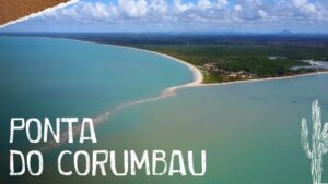
Guia Turístico da Ponta do Corumbau na Bahia11:51

Corumbau na Bahia02:30
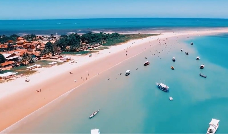
Ponta de Corumbau na Bahia02:16
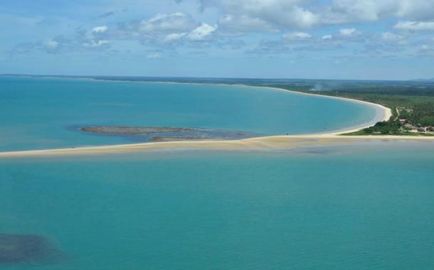
Corumbau - Reportagem05:14
Top attractions
- Sandbar at low tide: walking along the sandbar that stretches out into the sea is a unique and very photogenic experience.
- Reefs and natural pools: great spots for snorkelling, with colourful fish and the chance to spot turtles.
- Fishing village (Vila de Corumbau): simple restaurants serve fresh fish and regional dishes by the sea; it is the main base for visitors to the headland.
- Pataxó Village (Barra Velha): an opportunity to experience the local culture and traditional crafts.
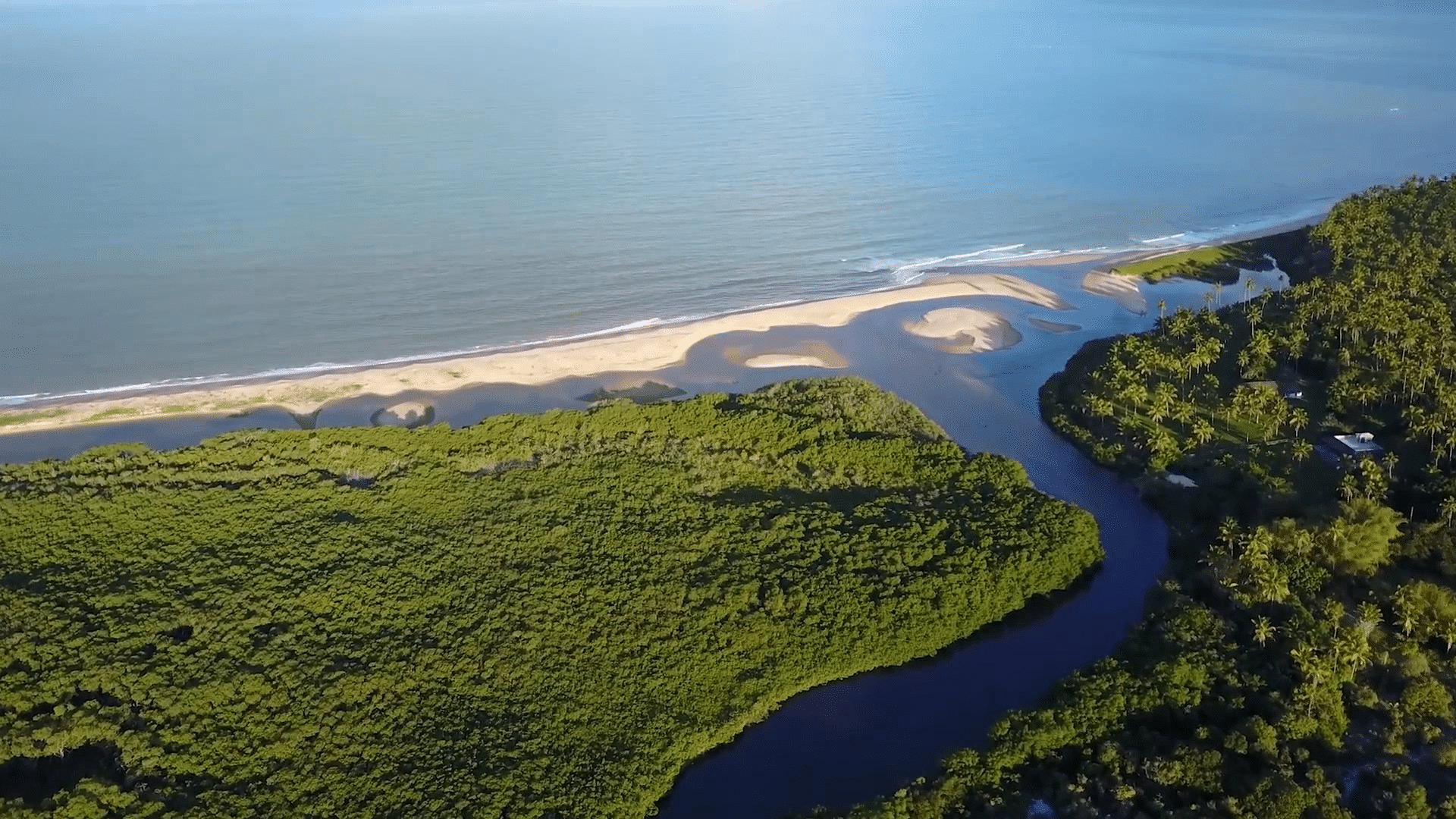
- Kayaking and river tours: exploring the mangroves and stretches of the Corumbau River, particularly at high tide.
Nearest village and distances
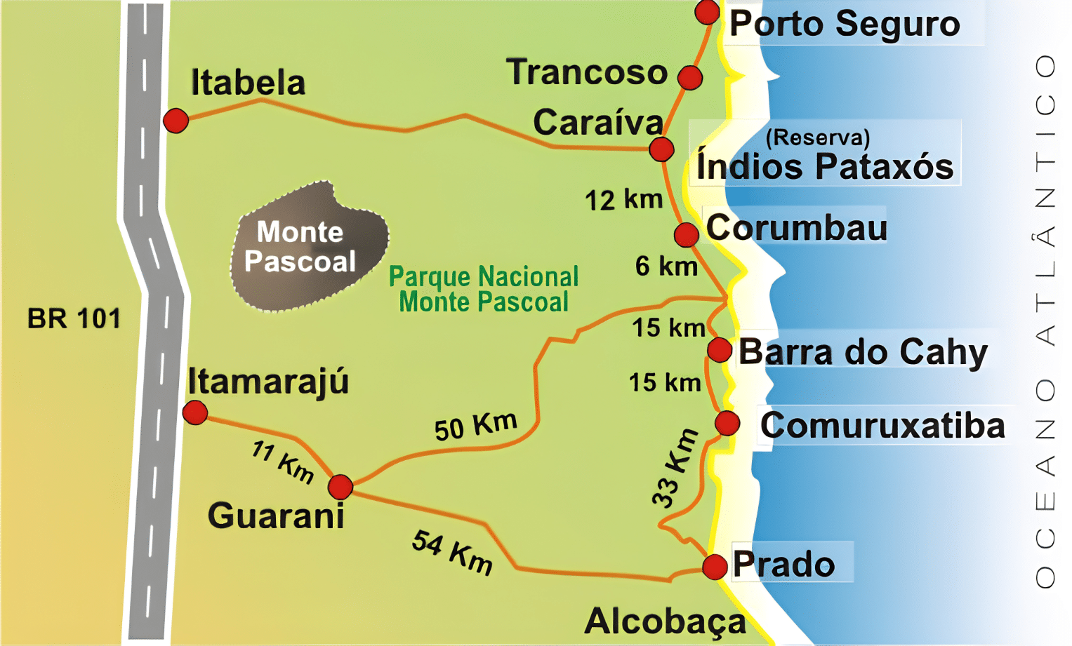
Nearest village: Caraíva is the nearest village used as a base for trips to Ponta de Corumbau, although the village of Corumbau itself is the settlement right by the headland and serves as the local base.
- Caraíva → Vila Corumbau: approximately 8–12 km along the sandy strip/coastal path (the usual route for buggies or walkers); by road, it can be as far as around 18 km.
- Cumuruxatiba → Ponta de Corumbau: approximately 55–57 km by road, depending on the route.
When to visit
To see the exposed stretch of sand, plan your visit for low tide — particularly around the time of a new or full moon. The weather is warm all year round; check the forecast and tide tables before you set off.
How to get there
Corumbau is situated between Prado and Porto Seguro, in the southernmost part of Bahia.
The route involves a combination of dirt tracks, boat crossings and buggy rides from neighbouring villages.
Caraíva and Cumuruxatiba are common starting points; part of the journey can be made on foot along the sandy strip, depending on the tide.
The village is on the Coast of Discovery.
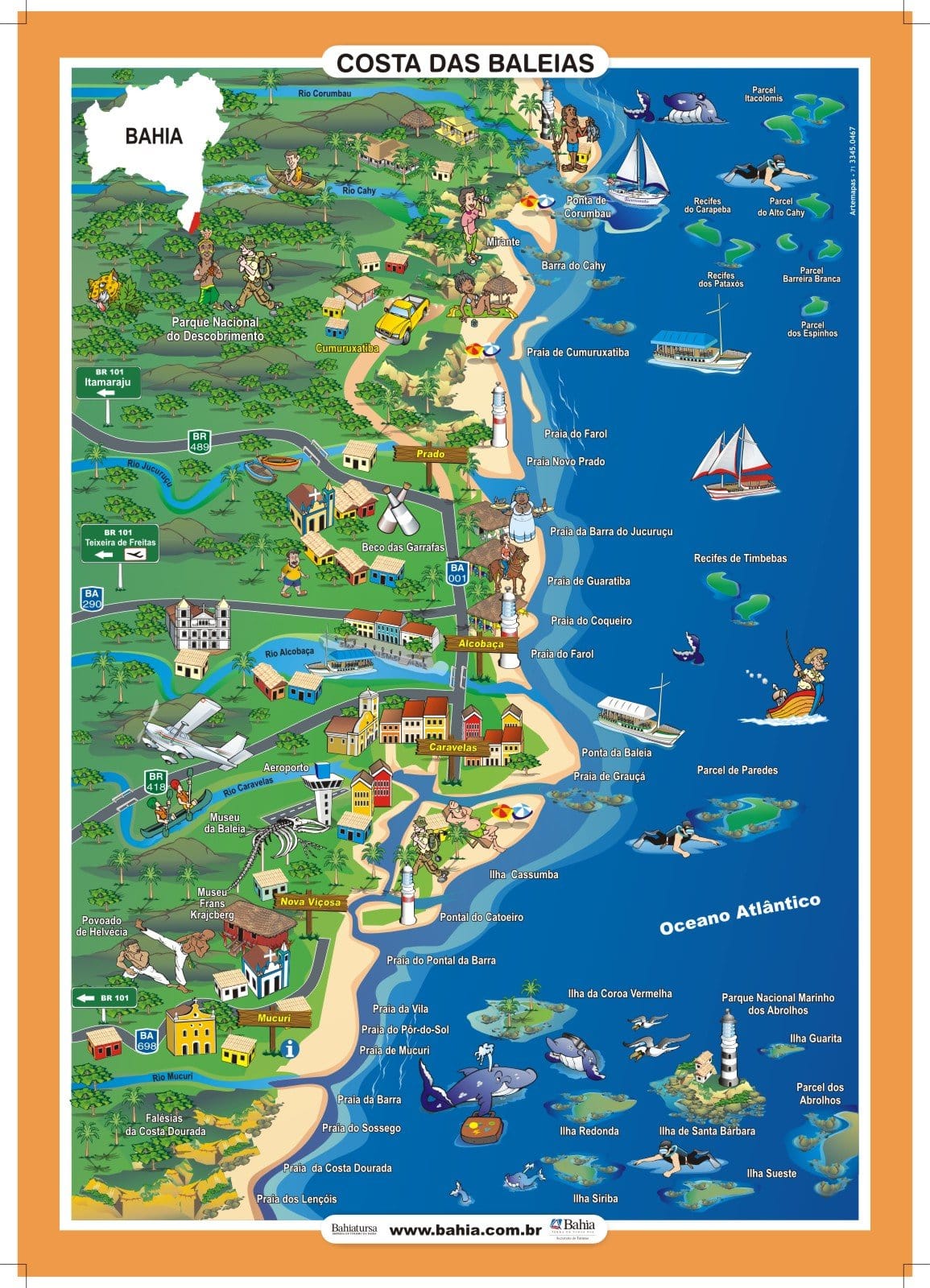
Corumbau is a destination for those seeking tranquillity, unspoilt landscapes and authentic experiences on the southern coast of Bahia.
Publicações Relacionadas
Tourist Attractions and Documentaries about Chapada Diamantina
Trekking in the Pati Valley in Chapada Diamantina
Garcez Beach: Discover Paradise in Jaguaripe
Correntina: Discovering the Heart of Bahia
Discovering Brazil - Porto Seguro is the beginning of Brazil
Trail to Buracão Waterfall in Chapada Diamantina
The 3 most paradisiacal beaches in Bahia
Porto Seguro's nightlife: Where to have fun
Ecotourism in Bahia: discover village of Santo André
Whale Coast (BA) — Complete guide: Abrolhos, beaches and whale-watching
Cairu Archipelago: A Guide to Its Enchantment
What to do on Boipeba Island - Tourist Guide - videos
Bahia Art Museum (MAB): Learn about its history and collection
History of Cocoa: From Aztecs to Modern Use
Bom Jesus dos Passos Island — Travel guide: how to get there, beaches, history and things to do
Subaúma Beach: The Perfect Escape in Bahia
Church of Nossa Senhora dos Mares (Salvador) — History and Architecture
Municipality of Conde and its enchanting beaches
Discover the 23 beaches of Salvador — A complete guide and tips
Monte Pascoal National Park: Pataxó culture and Brazilian history
Lapão Cave: The Ultimate Adventure Experience
History of the Senhor do Bonfim Ribbons — Origin, Meaning and Traditions
Main caves in the municipality of Iraquara in Chapada Diamantina
Discover the Abrolhos Archipelago: a haven for humpback whales and a biodiversity hotspot
Ilha dos Frades — History, beaches and tourist attractions
Cocoa farms attract tourists to Bahia - Chocolate Road
Discover the Magnificence Fort of Nossa Senhora de Monte Serrat
Dive Sites of Chapada Diamantina: A Guide
The highest and most beautiful waterfalls in Chapada Diamantina
Discover the São Francisco River Valley Region - Tourist Guide
Places to visit on the south coast of Bahia
The War of Canudos: Rescuing historical memory
Curiosities about the Rio de Contas in Chapada Diamantina
Valença: The Gateway to Morro de São Paulo
Tourist attractions and architectural heritage of Salvador (BA
Churches of Salvador: Architectural and Historical Treasures
This post is also on:
 Português
  English
  Deutsch
  Español
  Français