Published on · Updated on
Correntina is a municipality in western Bahia, crossed by rivers with crystal-clear waters. Its postcard sights are Ilha do Ranchão, in the town center, and the Sete Ilhas (Seven Islands) archipelago, just over a kilometer away. In addition, the Vale do Rio Corrente region offers trails, boat trips, canoeing and off-road circuits.
- Where it is: western Bahia, in the Vale do Rio Corrente, near the border with Goiás.
- Distances: about 914 km from Salvador and 527 km from Brasília.
- Population: 32,457 inhabitants (IBGE 2022 Census).
- Rivers: das Éguas (Correntina), Arrojado, Santo Antônio, Guará and Rio do Meio.
- Highlights: Sete Ilhas, Ilha do Ranchão and Igreja de Nossa Senhora da Glória.
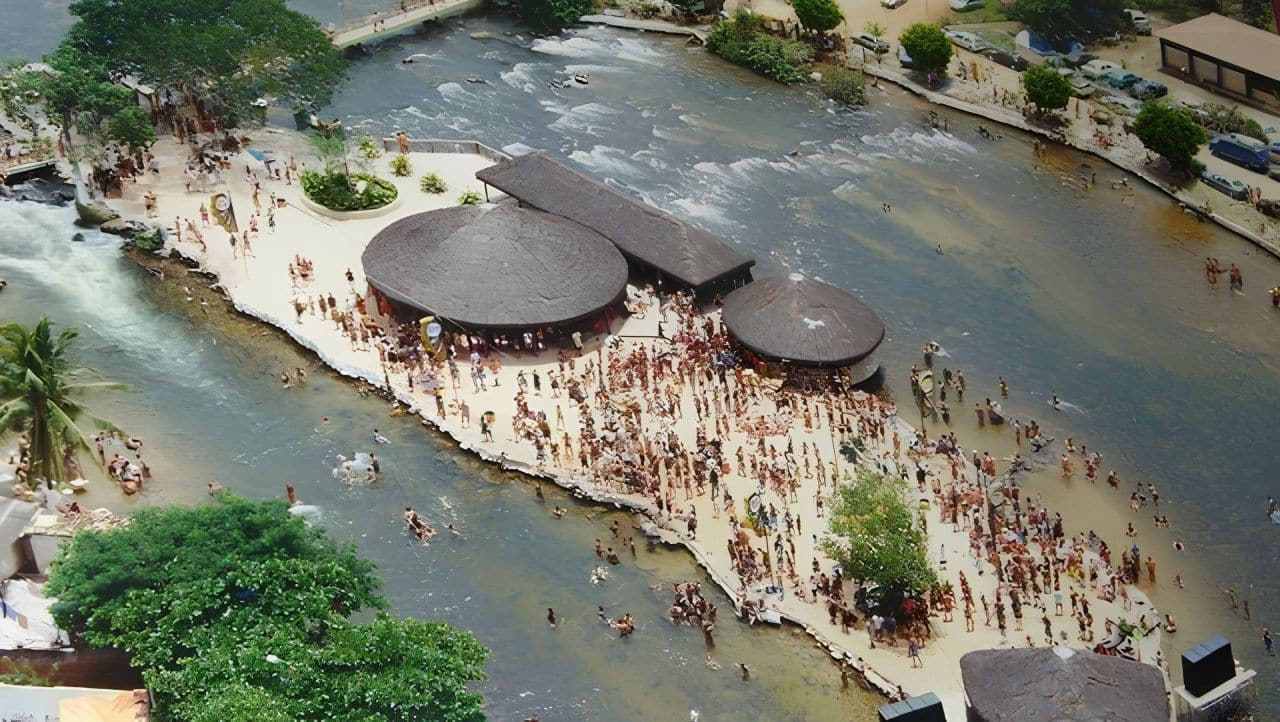
- Carnival: Ilha do Ranchão is the heart of the celebrations.
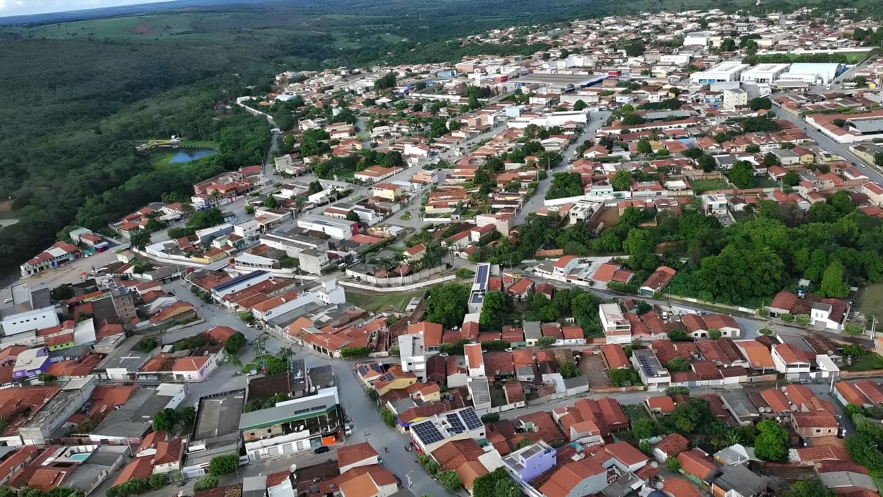
Where Correntina is and map
In short, the municipality lies in western Bahia, about 914 km from Salvador. Curiously, though, it is closer to Brasília, at about 527 km. In addition, with more than 11,000 km², it is one of the largest municipalities in Bahia by area.
Nearby, for example, Santa Maria da Vitória and São Félix do Coribe preserve traces of the backlands colonial style (colonial sertanejo). So you can combine nature and rural culture on the same trip. To get to know the region, also see the Barreiras guide.
Video about the town


O que fazer na cidade Correntina08:58

Correntina no oeste da Bahia01:59

Cachoeira da Zumba em Correntina02:19

Sete Ilhas em Correntina03:36

Correntina Guia Turismo
Vista aérea de Correntina na Bahia05:55
Sete Ilhas of Correntina
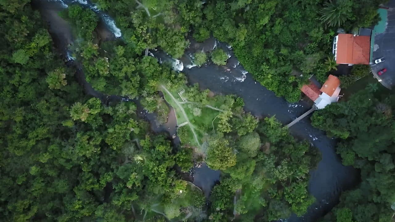
The Sete Ilhas form a small river archipelago about 1.2 km from the town center. Because they are surrounded by crystal-clear waters and vegetation, they are among the most popular spots for river swimming, picnics and taking in the view. Therefore, they get crowded on weekends and holidays.
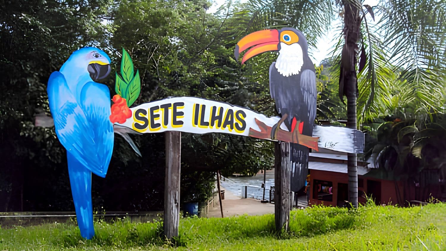
Besides swimming, the archipelago is also great for photos, especially in the late afternoon. It is also a good place to watch the region’s fish and birds.
Ilha do Ranchão
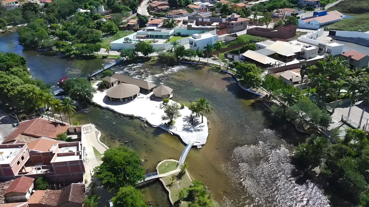
Right in the town center, Ilha do Ranchão is the main local postcard sight. It sits next to Avenida Beira Rio and, therefore, welcomes visitors all year round. During carnival, moreover, it becomes the heart of the celebrations.
Rivers of the region
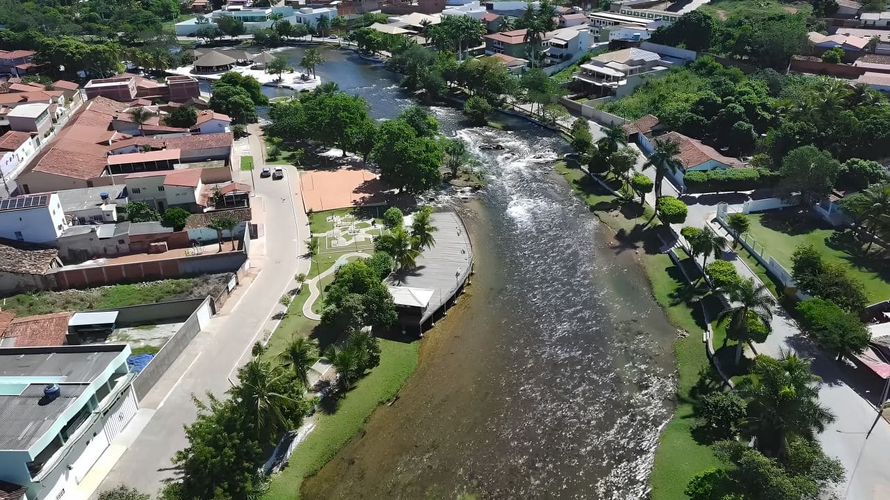
All in all, the municipality is bathed by the Correntina, Arrojado, Santo Antônio, Guará and Rio do Meio rivers, all with clear waters. The main one, in fact, is the River das Éguas, which runs through the town center. Further downstream, these waters then help form the Corrente River, a tributary of the São Francisco.

Things to do in Correntina
- River swimming: at the Sete Ilhas, at Ilha do Ranchão and at the bathing spots along the other rivers.
- Ecotourism: trails, canoeing, boat trips and off-road circuits across the Vale do Rio Corrente.
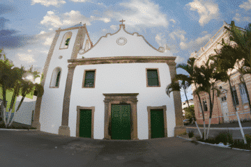
- Igreja de Nossa Senhora da Glória: the main church, linked to the origins of the settlement, is also worth a visit.
- Mercado Municipal: a good place to try regional products and the cuisine of western Bahia.
- Carnival: one of the liveliest festivities in the region, with Ilha do Ranchão as its stage.
History of Correntina
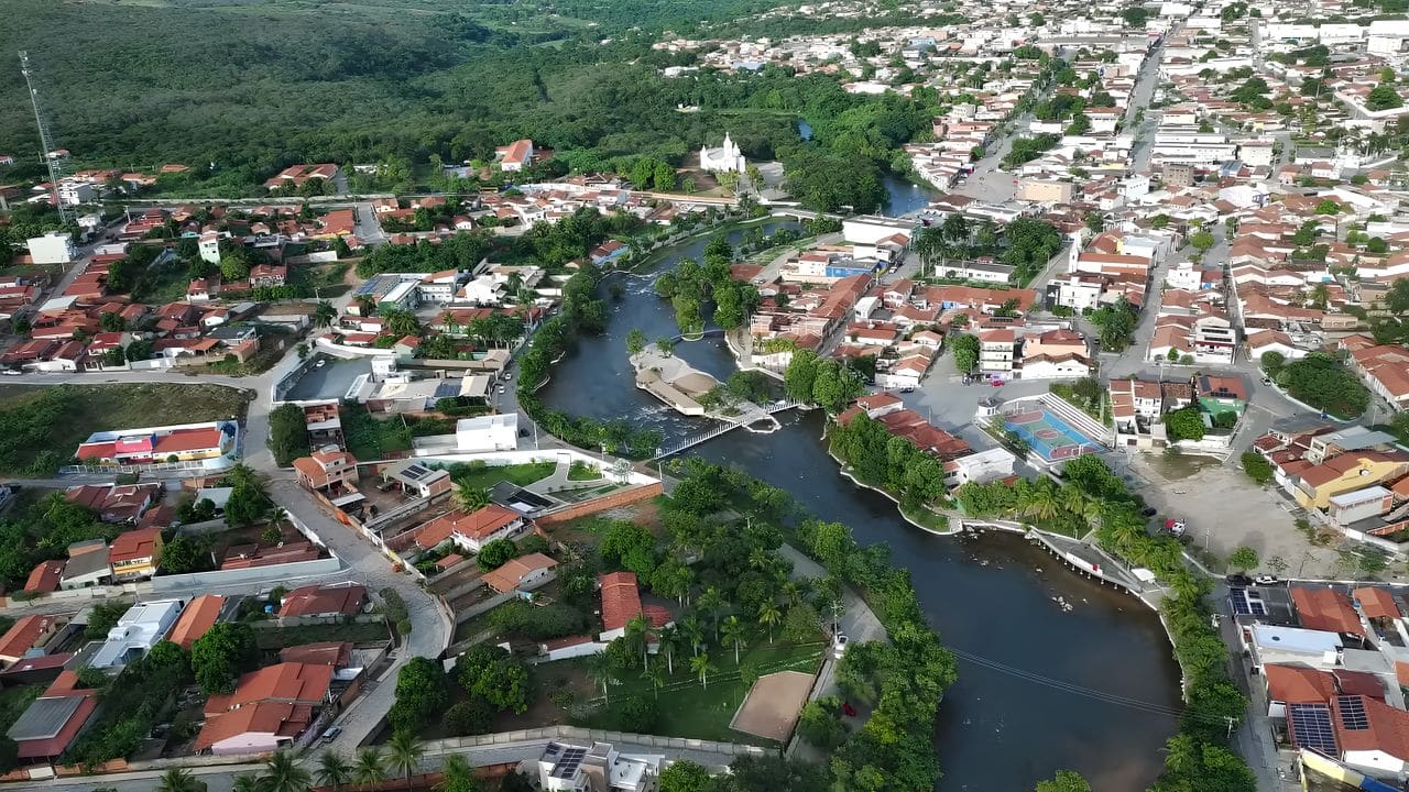
According to IBGE, the region was inhabited by the Acroá people (acroás). In 1792, bandeirantes (colonial explorers) led by Francisco José Teixeira arrived in search of gold in the mines of the River das Éguas. Thus the settlement of Nossa Senhora da Glória do Rio das Éguas emerged, and it became a parish in 1806.
Subsequently, provincial law No. 973 of May 15, 1866, created the village, separated from Carinhanha. Later, even after being abolished and restored several times, the village became a municipality again in 1891. The name, in fact, comes from the river that runs through the town.
How to get there and tips
- From Brasília: about 527 km; therefore, it is the closest capital.
- From Salvador: about 914 km through the interior of the state.
- Best time: from May to September, in the dry season, when the rivers are clearer.
- Combine with: Bom Jesus da Lapa, São Desidério and the Barreiras waterfalls.
Frequently asked questions about Correntina
Where is Correntina?
It is in western Bahia, that is, near the border with Goiás.
Therefore, it is closer to Brasília than to Salvador.
What are the Sete Ilhas of Correntina?
It is a small river archipelago about 1.2 km from the center, with crystal-clear waters.
For this reason, it is one of the favorite spots for river swimming.
What is Ilha do Ranchão?
It is a river island in the town center and the main local postcard sight.
In addition, it is the stage for carnival.
How many inhabitants does Correntina have?
According to the IBGE 2022 Census, it has 32,457 inhabitants.
However, the municipality is huge, covering more than 11,000 km².
When is the best time to visit Correntina?
From May to September, during the dry season.
As a result, the rivers are clearer and the roads are better.

Publicações Relacionadas
Arembepe Beach, Bahia: Hippie Village, Piruí and map

Paranaguá Palace — History, architecture and visiting information | Ilhéus (BA)

São Jorge Parish Church: historic church in Ilhéus, Bahia

Piedade Church, Ilhéus: history, convent and stained glass

Ilhéus Cathedral (São Sebastião): history and visit

Skydiving, Paragliding and Ballooning in Bahia

Historic Towns in Bahia: A Journey Through Time
Places to visit on the south coast of Bahia

História da Arte - Caracteristicas, Aspectos e Periodos
30 tourist attractions in Bahia, Brazil, by region

Subaúma, Bahia: where it is, things to do and where to stay
Massarandupió Naturist Beach, Bahia: Rules and Access
Beaches on the South Coast of Bahia: 10 Best and Tips
Towns and the Abrolhos Archipelago — The southernmost tip of Bahia

Baixio: Between lagoons, dunes and the charm of a village surrounded by nature
26 best beaches in Bahia, Brazil: list by region
Salinas da Margarida & Barra do Paraguaçu: beach guide

Guarajuba Beach, Bahia: Natural Pools and Tips

Barra do Cahy, Bahia: where it is and how to get there

Garcez Beach and Ilha d’Ajuda, Bahia: how to get there

Rio de Ondas, Barreiras: Acaba Vida and Redondo waterfalls
Cachoeira dos Catabrigas, Bahia: photos and how to get there

Serra Grande, Bahia: beaches, map and things to do
Corumbau, Bahia: Ponta de Corumbau, beaches, map, how to go

Taipu de Fora: Discovering Natural Pools

Iguaí (BA): attractions, waterfalls, map and history
Morro de São Paulo: Map, Beaches & How to Get There (2026)
São Francisco do Conde, Bahia: what to do and history
Bay of All Saints, Bahia: history, islands and Recôncavo

Rafting in Taboquinhas: The Ultimate Adventure Guide
Abseiling Sites in Bahia: Top Locations to Explore

Diving Spots in Bahia: Discover Underwater Treasures
Paragliding at Pitinga Beach in Arraial d'Ajuda
Extreme Sports in Bahia: Adventure Awaits You

Skydiving in Bahia: An Unforgettable Experience