Published on · Updated on
Cumuruxatiba is a district of Prado, in the far south of Bahia, on the Costa das Baleias (Whale Coast). In general, it is a quiet fishing village with cliffs, reefs and unspoiled beaches. So, in this Cumuruxatiba guide, you will see how to get there, the main beaches, the tours and the whale season.
- Where it is: on the coast of Prado, in the far south of Bahia.
- How to get there: about 230 km from Porto Seguro airport.
- Beaches: Centro, Rio do Peixe, Areia Preta, Moreira, Imbassuaba, Barra do Cahy and Japara Grande.
- Humpback whales: in general, from July to November.
- Nearby: Barra do Cahy, Corumbau and Discovery National Park.


Where it is and how to get to Cumuruxatiba
Cumuruxatiba lies on the northern coast of Prado, between the town center and Corumbau. For this reason, it is a base for exploring the most remote beaches in the region.
First of all, the nearest airport with scheduled flights is in Porto Seguro, about 230 km away. By car, the trip usually takes 4 to 4.5 hours. Another option is to take the BR-101 to Teixeira de Freitas, about 105 km away, and then continue via Prado.
However, the village and the access to the more distant beaches have dirt roads. So, check the conditions with your guesthouse, especially after rain.
Whale season
Cumuruxatiba is part of the Costa das Baleias, where humpback whales generally arrive from July to November. During this period, in fact, boat tours leave to watch the animals. However, sightings are not guaranteed. Therefore, choose licensed operators and respect the environmental rules.

Video about Cumuruxatiba

Cumuruxatiba - Roteiro de 2 dias
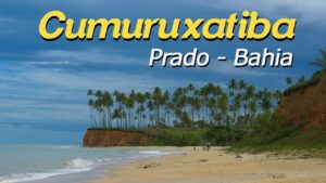
O que fazer, como chegar em Cumuruxatiba15:21

Guia de CumuruxatibaSUBTITLES10:35

Praias de CumuruxatibaSUBTITLES09:35

Baleia JubarteSUBTITLES04:24
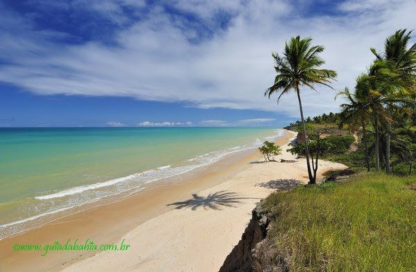
Praia de Guaratiba, Cumuruxatiba, Barra do Cahy e Corumbau17:26
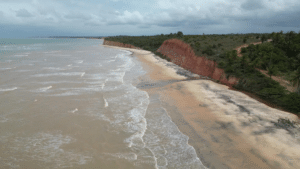
Praia de Areia Preta em Cumuruxatiba01:22
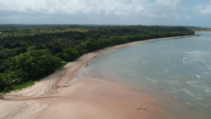
Praia do Rio do Peixe em Cumuruxatiba01:51
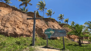
Tudo sobre Cumuruxatiba12:13
Also see the Prado travel guide and, in addition, the map of the Costa das Baleias.
Attractions and tours
Boat tours are, without a doubt, the main activity. In general, they include whale watching, the reefs and the natural pools, as well as remote beaches.
To the north, for example, lies Barra do Cahy, facing Monte Pascoal. According to some historians, this is where the Portuguese arrived in Brazil in 1500. Further on, about 55 km away by land, is Ponta do Corumbau.
In addition, the region is home to the Terra Indígena Comexatibá (Indigenous Territory) of the Pataxó people, covering just over 28,000 hectares. It partly overlaps with Discovery National Park, an area of Atlantic Forest.

Main beaches of Cumuruxatiba
Next, the table sums up the beaches and their approximate distance from the village.
| Beach | Distance from the village | Highlight |
|---|---|---|
| Cumuruxatiba Beach (Centro) | In the center | Kiosks, old pier and calm sea |
| Rio do Peixe | About a 20-minute walk | Shade and few facilities |
| Areia Preta | About 2 km | Dark sand and cliffs |
| Moreira | About 5 km | Natural pools at low tide |
| Imbassuaba | About 6.5 km | Long, deserted stretch of sand |
| Japara Grande | About 12 km | River, sea and cliffs |
| Barra do Cahy | About 18 km | River, coconut palms and cliffs |

Cumuruxatiba Beach (Centro)
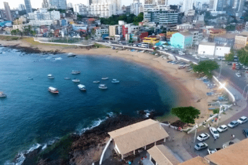
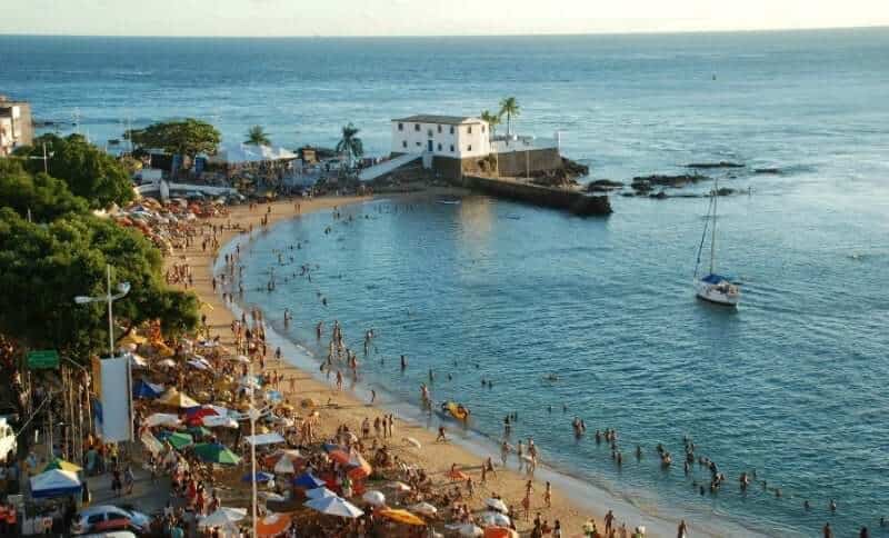
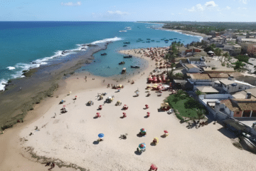
First of all, the village beach has kiosks, restaurants and guesthouses. Near the old pier, in fact, the sea is usually calm. Besides, many boat tours leave from here.


Rio do Peixe Beach
About a 20-minute walk from the center, the beach is divided into Peixe Pequeno and Peixe Grande. There, in general, you will find shade and a few kiosks. So, it is a good choice if you are looking for peace and quiet.

Areia Preta Beach
This cove of dark sand is surrounded by cliffs. In addition, it is about 2 km from the village.

Dois Irmãos Beach
Also on the coast of Cumuruxatiba, Dois Irmãos Beach has a calm sea and unspoiled scenery.

Moreira Beach
About 5 km from the village, Moreira Beach has cliffs and, at low tide, natural pools. However, it has no facilities. Also, the access may cross a farm or an Indigenous village, so ask the locals first.


Imbassuaba Beach
Next to Moreira, Imbassuaba lies about 6.5 km from the village. In general, it has a long, deserted stretch of sand with cliffs and coconut palms. As a result, you can walk there from Moreira in about 20 minutes.


Barra do Cahy
About 18 km from the village, Barra do Cahy is, for many, one of the most beautiful beaches in the region. There, a small river flows into the sea, between cliffs and coconut palms. In addition, the place is linked to the arrival of the Portuguese in 1500.


Tauá Beach and Calambrião Beach
Near Barra do Cahy, in turn, lie Tauá and Calambrião. In general, they are deserted beaches with cliffs and no facilities. So, bring water and a snack.


Japara Grande Beach
To the south, about 12 km from the center, Japara Grande is the first beach of Cumuruxatiba for those coming from Prado. There, the river meets the sea, between cliffs and coconut palms. In addition, right next to it is Japara Mirim, with almost no facilities.


Practical tips
- High season: from late December until Carnaval; therefore, book your accommodation in advance.
- Money: also bring cash, because not every place accepts cards.
- Roads: in addition, check the dirt roads before you set off.
- Tides: check the Marinha (Navy) tide table, especially for the natural pools.
- Nature: finally, respect the protected areas and the rules for watching marine wildlife.
In short, the names and boundaries of the beaches may differ between maps and guides. Therefore, if in doubt, ask the locals and your guesthouse.
Frequently asked questions about Cumuruxatiba
Where is Cumuruxatiba?
It is a district of Prado, in the far south of Bahia, on the Costa das Baleias.
So, it lies between the town of Prado and Corumbau.
How to get to Cumuruxatiba?
In general, via Porto Seguro airport, about 230 km away, and then by car.
However, some stretches are dirt roads.
What is the best time to see whales in Cumuruxatiba?
From July to November, during the humpback whale season.
Even so, sightings are not guaranteed.
Is Barra do Cahy in Cumuruxatiba?
It is on the coast of Prado, about 18 km from the village.
For this reason, it is usually visited from Cumuruxatiba.
Do the beaches have facilities?
The beach in the center has kiosks; many others, however, have nothing at all.
So, bring water, sunscreen and a snack.

Publicações Relacionadas
Arembepe Beach, Bahia: Hippie Village, Piruí and map

Paranaguá Palace — History, architecture and visiting information | Ilhéus (BA)

São Jorge Parish Church: historic church in Ilhéus, Bahia

Piedade Church, Ilhéus: history, convent and stained glass

Ilhéus Cathedral (São Sebastião): history and visit

Skydiving, Paragliding and Ballooning in Bahia

Historic Towns in Bahia: A Journey Through Time
Places to visit on the south coast of Bahia

História da Arte - Caracteristicas, Aspectos e Periodos

30 tourist attractions in Bahia, Brazil, by region

Subaúma, Bahia: where it is, things to do and where to stay
Massarandupió Naturist Beach, Bahia: Rules and Access
Beaches on the South Coast of Bahia: 10 Best and Tips
Towns and the Abrolhos Archipelago — The southernmost tip of Bahia

Baixio: Between lagoons, dunes and the charm of a village surrounded by nature
26 best beaches in Bahia, Brazil: list by region
Salinas da Margarida & Barra do Paraguaçu: beach guide

Guarajuba Beach, Bahia: Natural Pools and Tips

Barra do Cahy, Bahia: where it is and how to get there

Garcez Beach and Ilha d’Ajuda, Bahia: how to get there

Rio de Ondas, Barreiras: Acaba Vida and Redondo waterfalls
Cachoeira dos Catabrigas, Bahia: photos and how to get there

Serra Grande, Bahia: beaches, map and things to do
Corumbau, Bahia: Ponta de Corumbau, beaches, map, how to go

Taipu de Fora: Discovering Natural Pools

Iguaí (BA): attractions, waterfalls, map and history
Morro de São Paulo: Map, Beaches & How to Get There (2026)
São Francisco do Conde, Bahia: what to do and history

Bay of All Saints, Bahia: history, islands and Recôncavo

Rafting in Taboquinhas: The Ultimate Adventure Guide
Abseiling Sites in Bahia: Top Locations to Explore

Diving Spots in Bahia: Discover Underwater Treasures
Paragliding at Pitinga Beach in Arraial d'Ajuda
Extreme Sports in Bahia: Adventure Awaits You
Skydiving in Bahia: An Unforgettable Experience