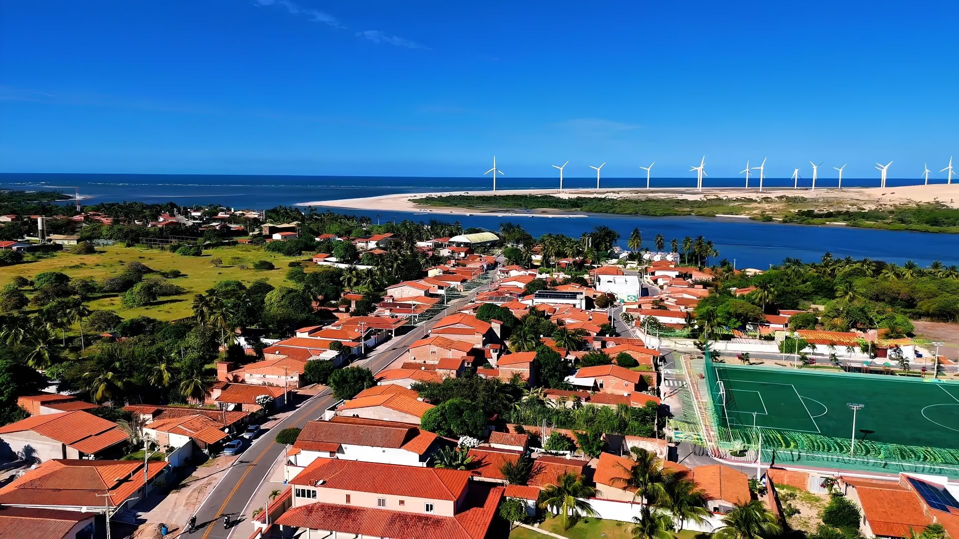
The Jaguaribe River is the main attraction in the municipality of Fortim, in Ceará, situated between Aracati and Beberibe, and is surrounded by beautiful beaches.
The town is mainly accessible via the CE-040 motorway, which links Fortaleza to these towns.
Rio Jaguaribe, Ceará
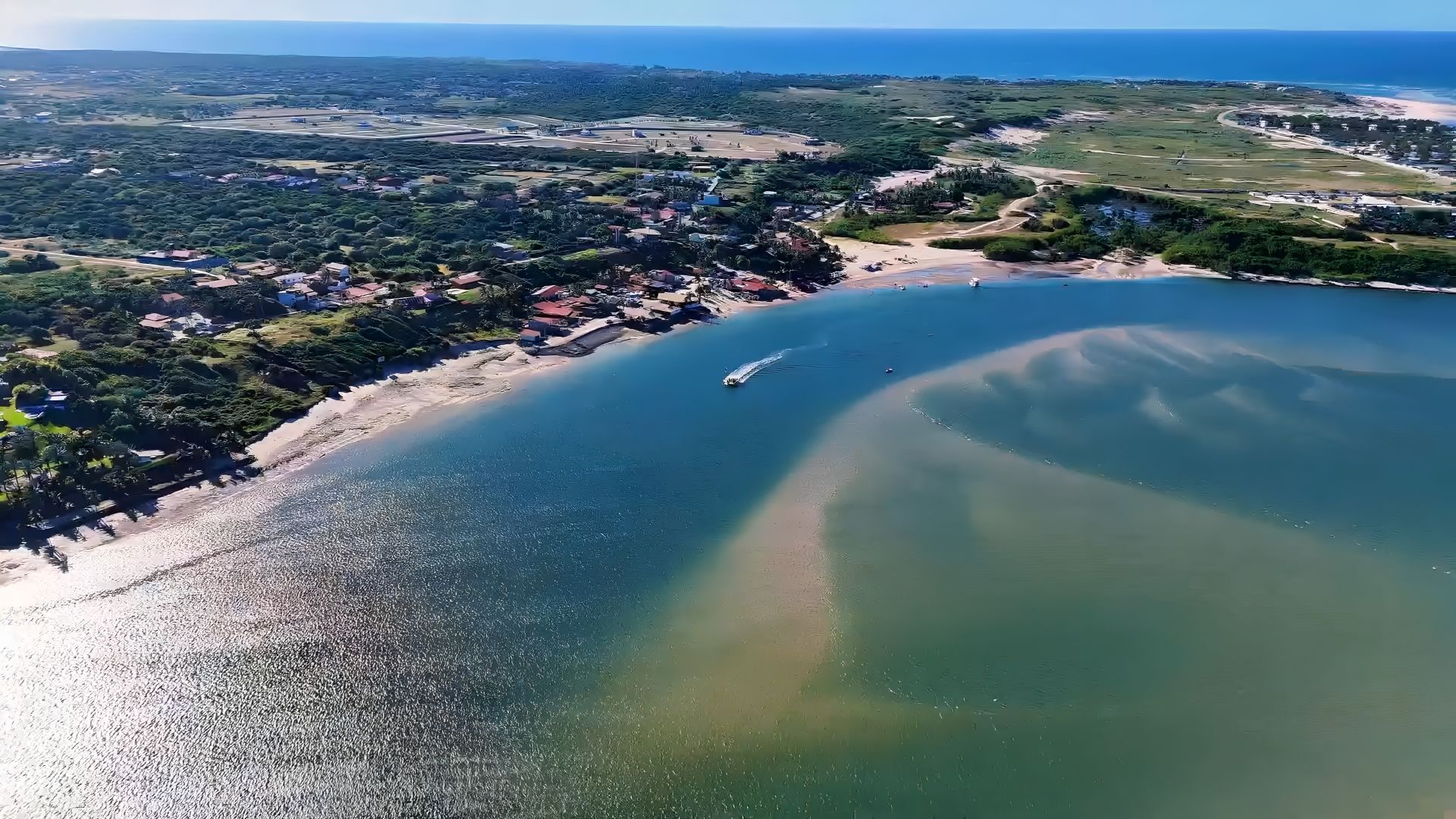
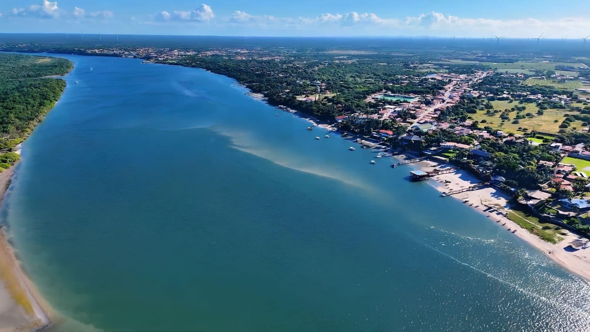
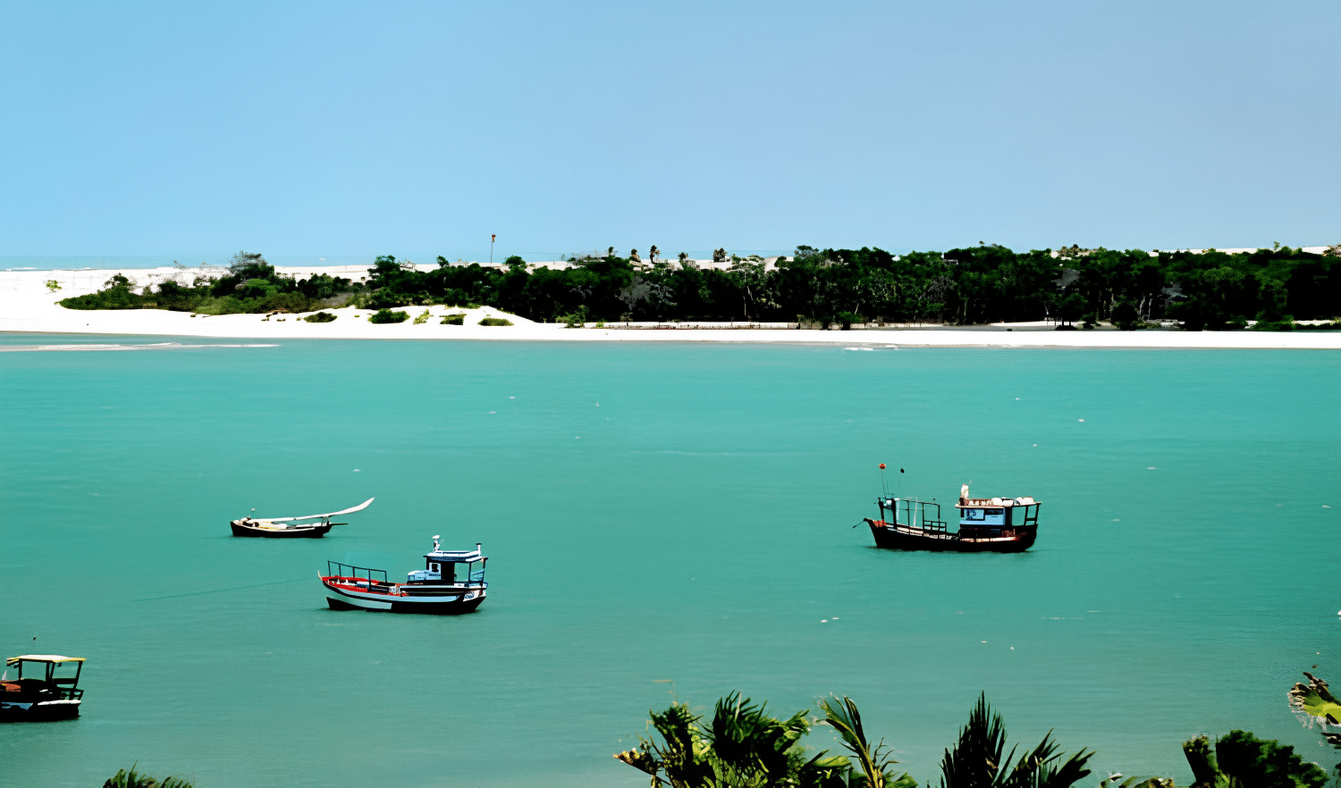
From the Barra viewpoint in Fortim, you can enjoy a spectacular view over the river, watching the fishing boats as they cross to the other side. The town of Fortim is situated on the banks of the River Jaguaribe, about 134 km from Fortaleza.
One of the main attractions for visitors to the city is a boat trip along the Jaguaribe River, the longest watercourse in the state of Ceará, stretching 633 km — according to the most widely used official measurement. A 2020 study by the State University of Ceará (UECE), in partnership with Cogerh, identified an even more distant source in the Serra das Pipocas, suggesting that the river’s actual length may be as much as 680 km.
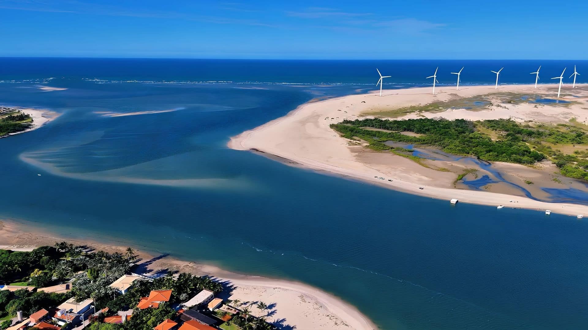
It rises in Tauá, in the south of the state, and flows into the Atlantic Ocean, where Fortim is privileged to be home to the mouth of the Jaguaribe.
The Jaguaribe River comprises a series of channels, islands and a rich variety of birds, fish and vegetation, which add a special touch to the already majestic local landscape.
Among the species that can be spotted are herons, kingfishers and fish such as the curimatã and tilapia, which form part of the region’s aquatic fauna.
Characteristics of the Jaguaribe River
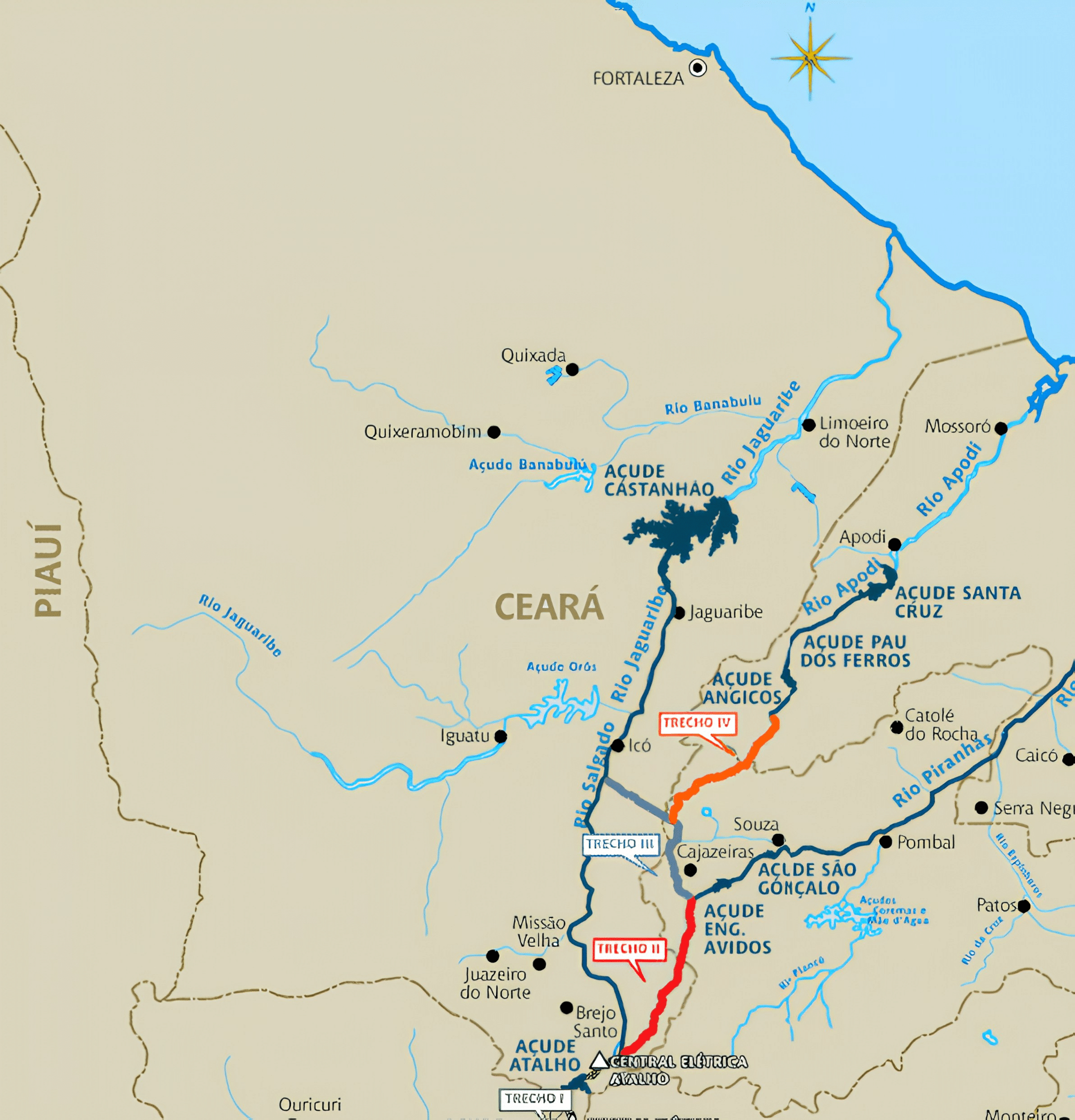
Before the construction of the Castanhão Dam, the River Jaguaribe was known as the world’s largest dry river, as it had abundant water during the rainy season but could disappear completely during the dry season.
With the construction of the dam — now Brazil’s largest reservoir, responsible for supplying the Fortaleza Metropolitan Area — the river has become a year-round water source, with its flow regulated.
The Jaguaribe is of immense importance to the people of Ceará, covering around 51.9 per cent of the state’s total area, equivalent to approximately 75,669 km². Its headwaters form the boundary between Ceará and the states of Piauí, Pernambuco, Paraíba and Rio Grande do Norte.
Furthermore, the River Jaguaribe has significant historical and social importance, with its banks having been inhabited since the very beginning of the state’s history, facilitating agriculture and livestock farming.
However, excessive deforestation of the riparian vegetation has contributed to the silting up of the river, resulting in stretches less than one metre deep.
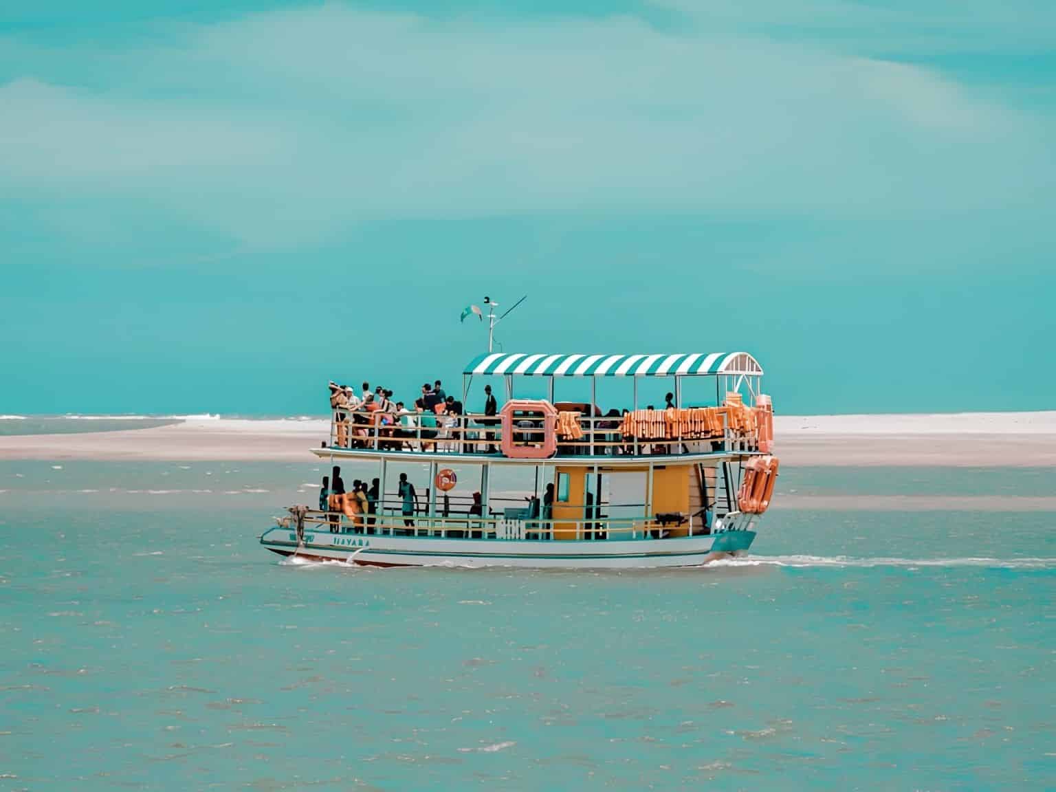
Barra Viewpoint
The point where the river meets the sea is one of the main highlights of trips to the Ceará coast. Tourists have the chance to experience the mix of fresh and salt water on the Jaguaribe River during boat trips.
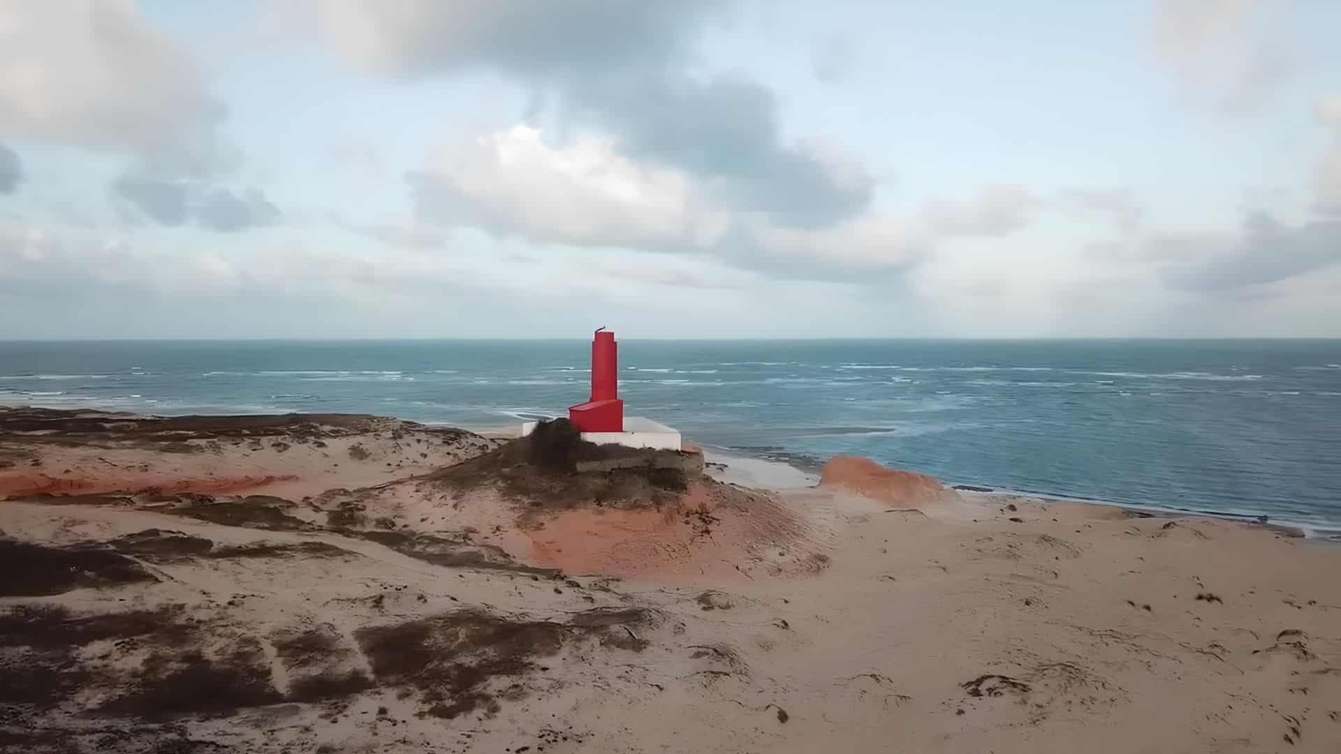
On the banks of Ceará’s largest river and right by the beach in Fortim, you can choose which body of water to enjoy.
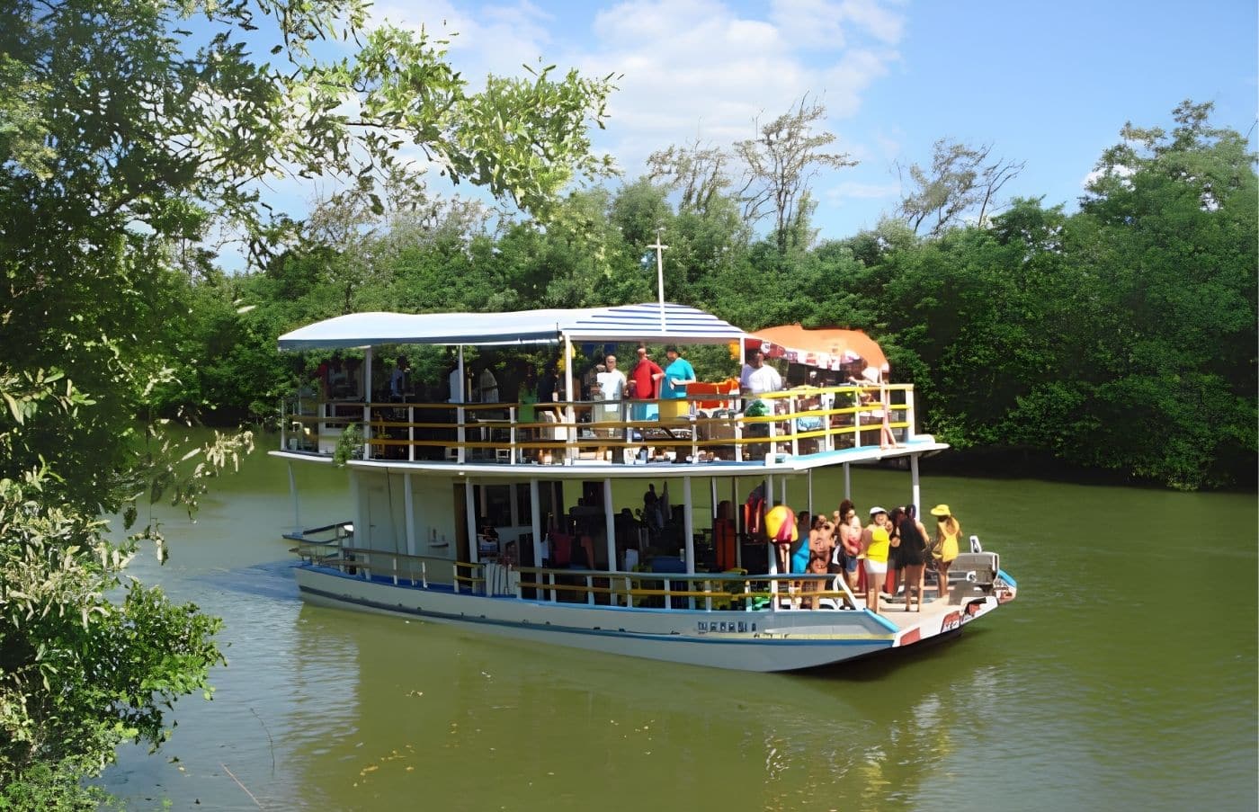
One tip is to start with a boat trip on the Jaguaribe River, where it is common to see fishing boats and water sports craft sharing the same waters.
The summer residences, situated next to the century-old church, were built facing the river, at a time when wealth was transported along its waters.
A trip along the River Jaguaribe
The Jaguaribe River is the largest watercourse in Ceará; it rises in the Serra da Joaninha, at the Santiago lagoon in Tauá, and flows into the Atlantic Ocean off the coast of Fortim.
With its many canals, islands and rich flora and fauna, river cruises are almost a must for anyone visiting the region.
The route includes mangroves, river islands and the famous Pedra do Chapéu, which forms a sandbank that is ideal for a refreshing dip in fresh water.
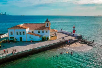
During the walks, you can also catch a glimpse of the luxurious holiday homes in Barra do Fortim, as well as the Church of Nossa Senhora do Amparo, which faces the river.
Tourist Map of the Ceará Coast
Tourist Attractions in Fortim, Ceará
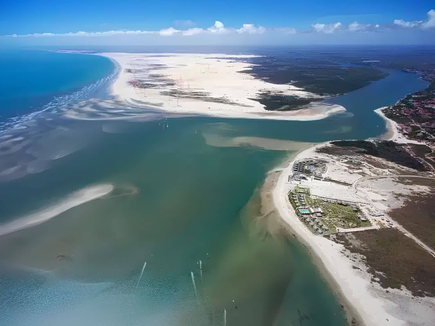
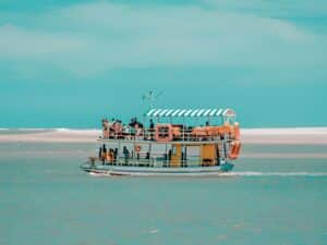
Of the beaches along the east coast of Ceará, Fortim stands out as one of the quietest and least crowded, situated some 134 km from Fortaleza. It lies on the natural boundary between the ‘classic’ east coast — featuring Aracati and Canoa Quebrada — and the route leading on to Icapuí, which is close to the border with Rio Grande do Norte.
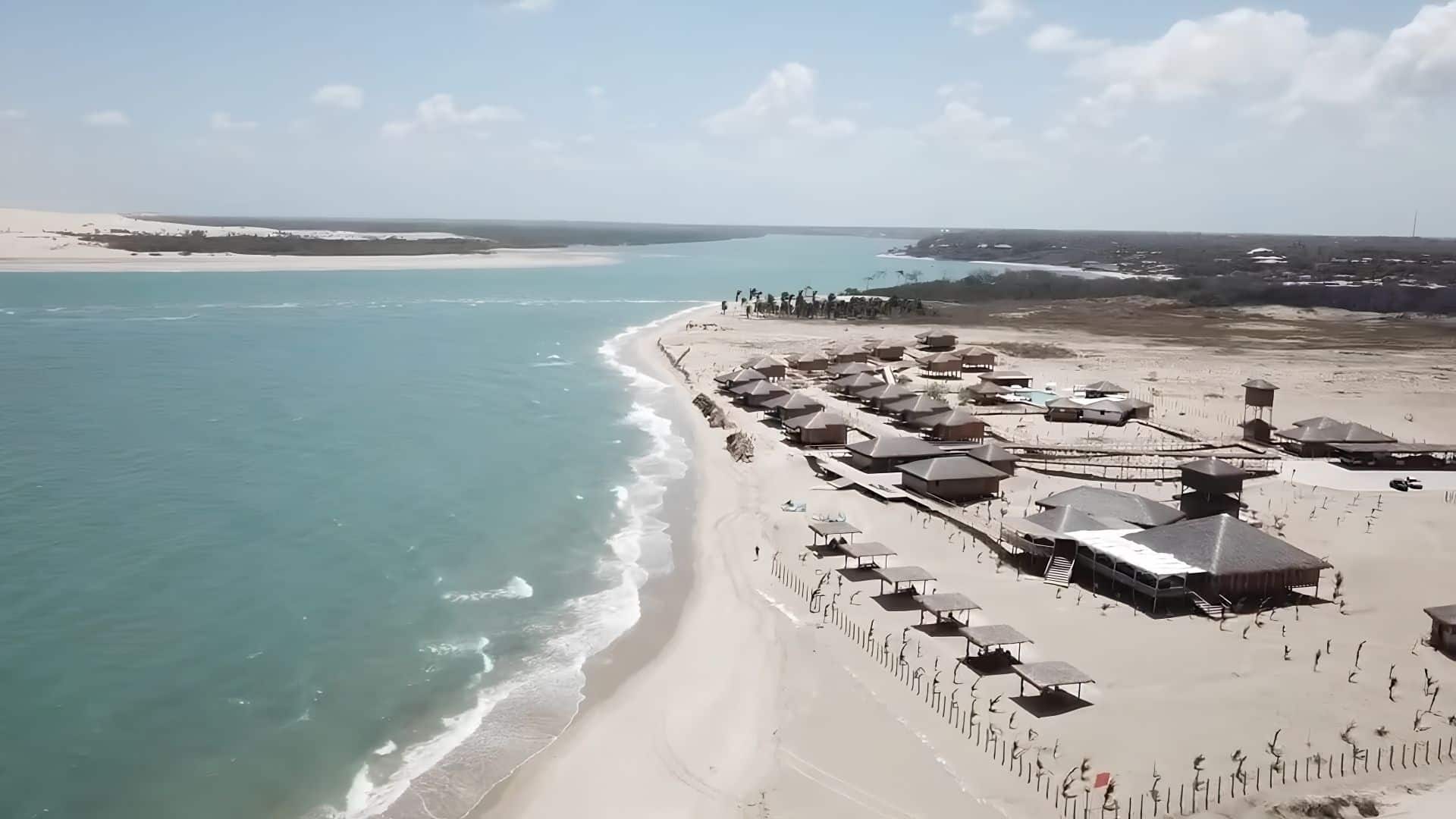
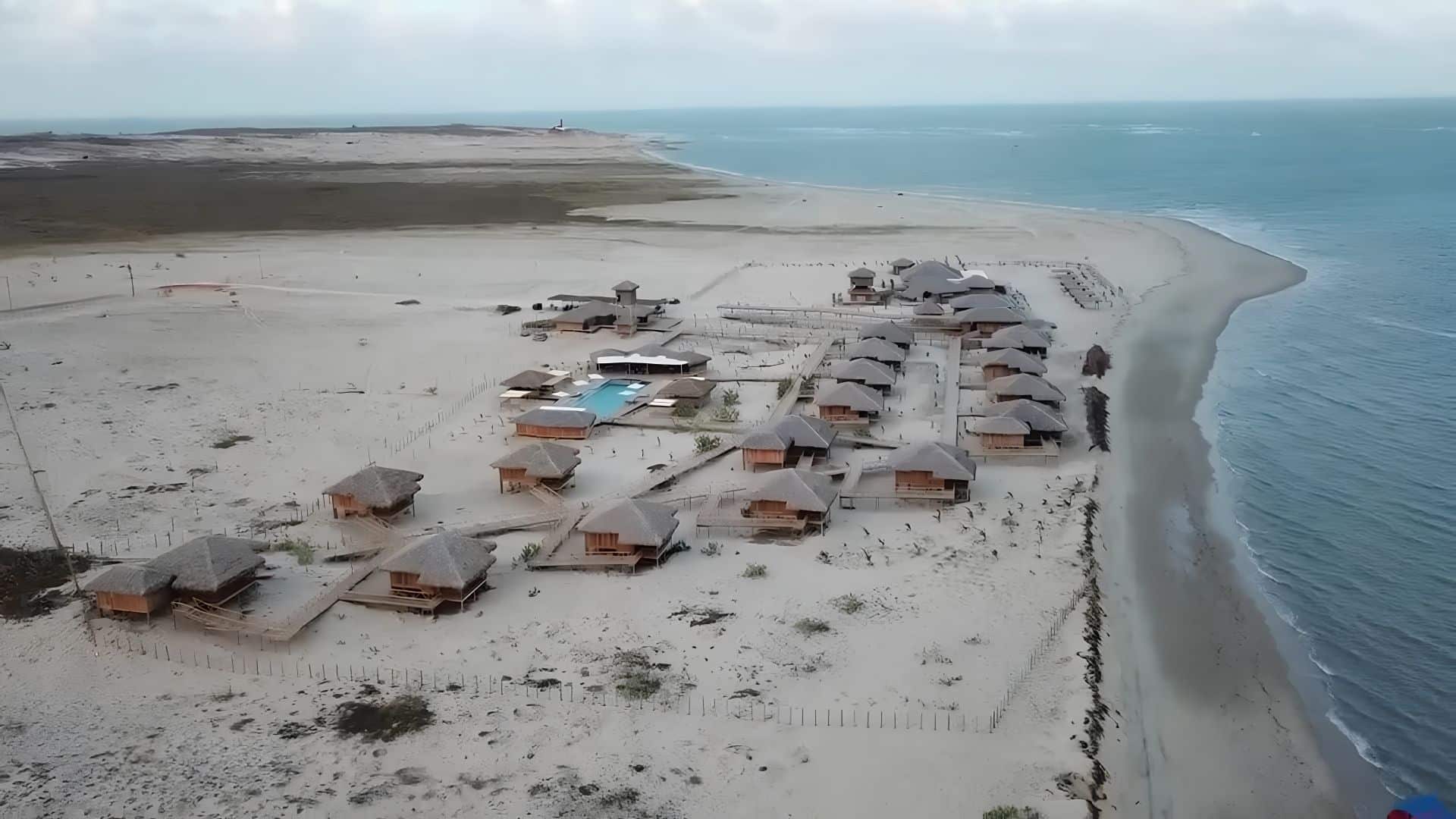
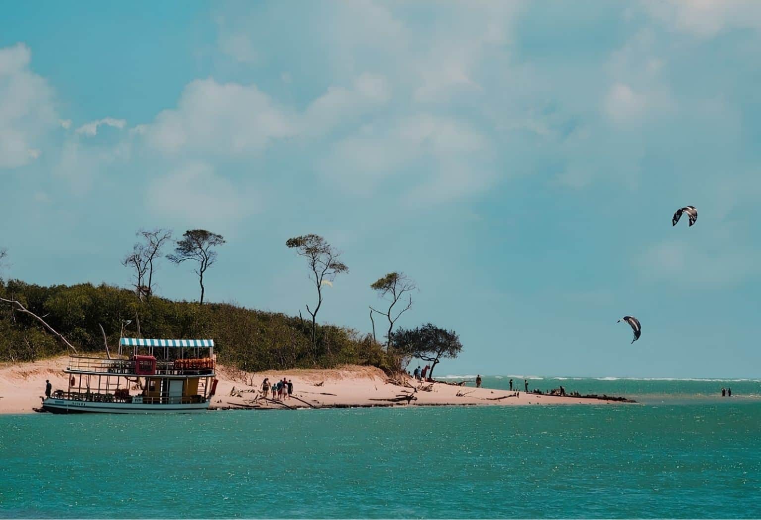
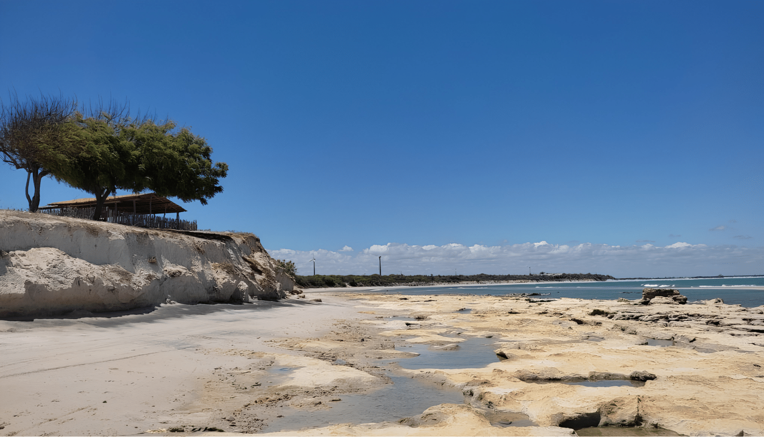
The destination boasts a stunning landscape, featuring a variety of scenery such as dunes, cliffs, cactus forests, mangroves and a sea with waters that are almost always calm. Furthermore, the winds in the region provide perfect conditions for kitesurfing.
Tourism in Fortim began to take off around 20 years ago, when French travellers discovered the quiet little village and fell in love with the destination, with many choosing to settle there.
1. The beaches of Fortim
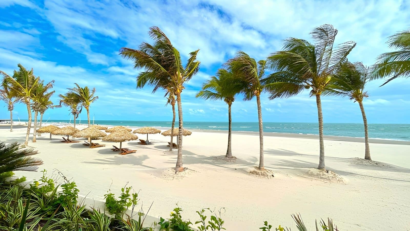
The main beaches in Fortim include Pontal de Maceió Beach, the most popular, Canto da Barra Beach and Agulhas Beach.
Pontal de Maceió, six kilometres from the city centre, is an authentic fishing village that has retained its traditional character, with colourful houses and an ideal setting for relaxation.
At low tide, you can explore the natural caves formed by the tide and enjoy the peaceful surroundings.
Canto da Barra Beach, situated at the mouth of the River Jaguaribe, is a spot that is still relatively unknown to tourists, with calm waters and one of the best kitesurfing spots in Brazil.
2. Church of Our Lady of Amparo
The Church of Nossa Senhora do Amparo was built facing the river, reflecting the importance of water to village life.
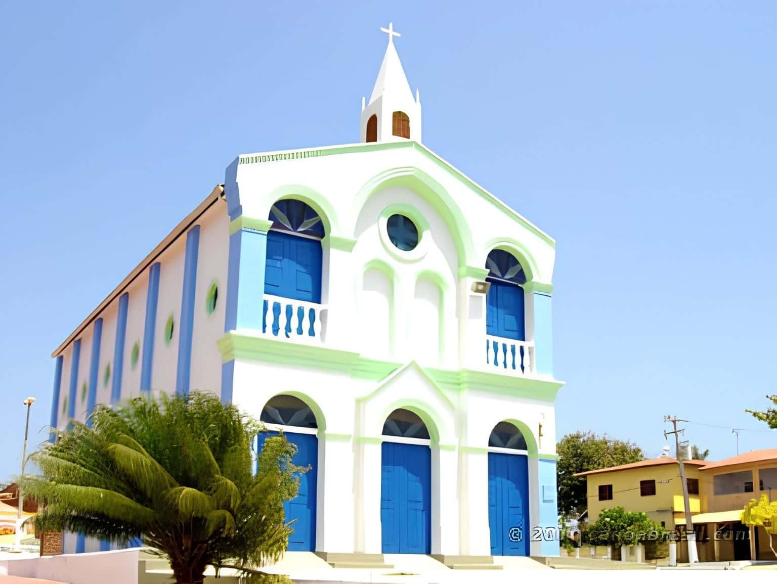
As the town grew, houses were built behind the church, making it necessary to open doors at the back of the church, creating a small square through which the congregation now enters for services.
3. Buggy tours
The local landscape, rich in dunes, cliffs and unspoilt beaches, is perfect for buggy tours. Setting off from Fortim, the vehicles cross the river by ferry towards the dunes of the beaches along the Costa do Sol do Nascente, almost reaching Rio Grande do Norte. This stretch of coastline forms part of the Cliff Route and the East Coast of Ceará.
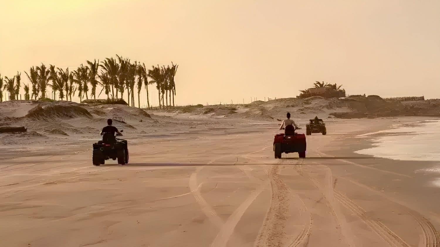
Shorter trips may include stops at Canoa Quebrada, a popular destination, or at Redonda Beach, which offers a more relaxing experience, some 50 km from Fortim.
The last beach on this route, Ponta Grossa, is home to a magnificent dune 100 metres high, considered to be the largest shifting dune in Ceará.
Fortim is, therefore, an ideal place for anyone seeking nature, tranquillity and a rich cultural heritage.
Frequently Asked Questions about Fortim and the River Jaguaribe
How many kilometres is Fortim from Fortaleza?
Fortim is about 134 km from Fortaleza, a journey of approximately 2 hours by car along the CE-040 motorway.
What is the longest river in Ceará?
It is the Jaguaribe River, which is 633 km long according to the most commonly used official measurement (recent research suggests it may be as long as 680 km). It rises in the Serra da Joaninha, in Tauá, and flows into the Atlantic Ocean at Fortim.
What is the boat trip along the Jaguaribe River in Fortim like?
The trip sets off from the Mirante da Barra area, sails through canals, past islands and mangroves, passes by Pedra do Chapéu — a sandbank ideal for a freshwater swim — and offers views of the holiday homes and the Church of Nossa Senhora do Amparo.
Is Fortim a good place for kitesurfing?
Yes. Canto da Barra Beach, at the mouth of the River Jaguaribe, is considered one of the best kitesurfing spots in Brazil, with calm waters and steady winds.
What are the most beautiful beaches in Fortim?
Pontal de Maceió (the busiest), Praia do Canto da Barra and Praia das Agulhas are the main ones within the municipality — and, travelling by buggy along the coast, Praia de Redonda and Ponta Grossa round off the itinerary.
What is the Castanhão Dam and how is it connected to the River Jaguaribe?
It is Brazil’s largest water reservoir, built on the River Jaguaribe. Before it was built, the river would dry up completely during periods of drought; today, the reservoir regulates the flow and ensures a water supply for much of Ceará, including the Fortaleza Metropolitan Area.

Publicações Relacionadas
Jericoacoara, Ceará: Complete Guide and 5-Day Itinerary
Ceará: Must-see tourist destinations in Brazil
What to Do in Fortaleza in 3 Days: A Complete Itinerary
Cumbuco Beach (Ceará): The Definitive Guide to Kitesurfing and Leisure
Where to Stay in Fortaleza: Neighbourhoods and Beaches (2026)
Serra da Ibiapaba: A Complete Guide to Attractions and Tips
Juazeiro do Norte: Things to Do and a Guide to Religious Tourism
Tourism in the Cariri region of Ceará: A complete 3-day itinerary through the Araripe Geopark
The Costa dos Ventos Route, Ceará: A Complete Guide to 9 Towns
Icó, Ceará: History, Architecture and Tourist Attractions
Kitesurfing in Tatajuba — Spots, Access and Season
The Cliffs Route in Ceará: A Complete Travel Guide
Things to Do in Paracuru, Ceará: Beaches and Sports
Tatajuba, Ceará: things to do, how to get there and top attractions
Route of Emotions: An Adventure through North-East Brazil
Guaramiranga: The Complete Guide to the ‘Switzerland of Ceará’ (Itineraries and Tips)
Canoa Quebrada, Ceará: A Guide to Cliffs and Beaches
Ceará: The Best of Ecotourism and Extreme Sports in Brazil
Caetanos de Cima is one of the most beautiful beaches in Ceará
East Coast of Ceará: A Traveler's Paradise
Religious Tourism in Cariri (CE): Padre Cícero and Pilgrimages
The Mountains of Ceará: A Guide to Mountain Towns for Tourists
Beach Park – Complete guide: attractions, tickets and tips for Porto das Duna
The Baturité Massif: A Complete Guide to Tourism in Ceará
Beaches on the West Coast of Ceará: A Complete Guide
Fortaleza: A Guide to Ceará's Vibrant Capital
Aracati, CE: A Complete Guide to Canoa Quebrada and the Surrounding Area
Cariri in Ceará: A Comprehensive Guide to Tourism and Culture
Quixadá, Ceará: Monoliths, the Cedro Dam and the Sertão
Ubajara National Park: A Complete Visitor’s Guide
The Best Beaches in Fortaleza and Ceará: A Complete Guide with 22 Options
Salgado River Canyon in Lavras da Mangabeira, Ceará
Aquiraz, Ceará: Guide to Porto das Dunas and Beach Park
Icapuí, Ceará: The perfect destination for those seeking the ‘Land of the Lobster’
This post is also on:
 Português
  English
  Deutsch
  Español
  Français