Discover the Wonders of the Baturité Massif: A Natural Paradise in Ceará
The Lush Landscape of the Baturité Massif
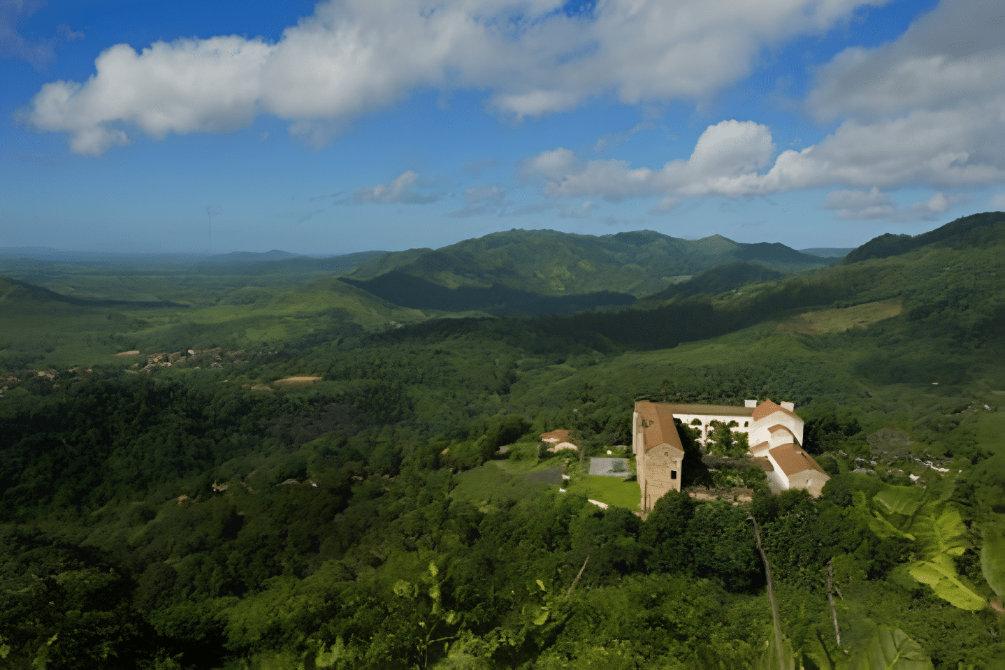
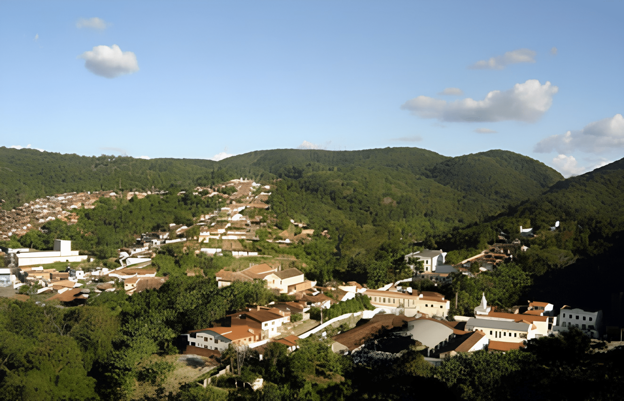
The lush landscape of the Baturité Massif is one of the most popular destinations in Ceará. The humid climate and average temperatures, which range between 20°C and 22°C – with lows reaching 17°C – make the region ideal for weekends.
The landscape is framed by a small strip of Atlantic Forest, which has been designated an Environmental Protection Area, making the Baturité Massif the perfect destination for ecotourism.
The Baturité Massif in Ceará
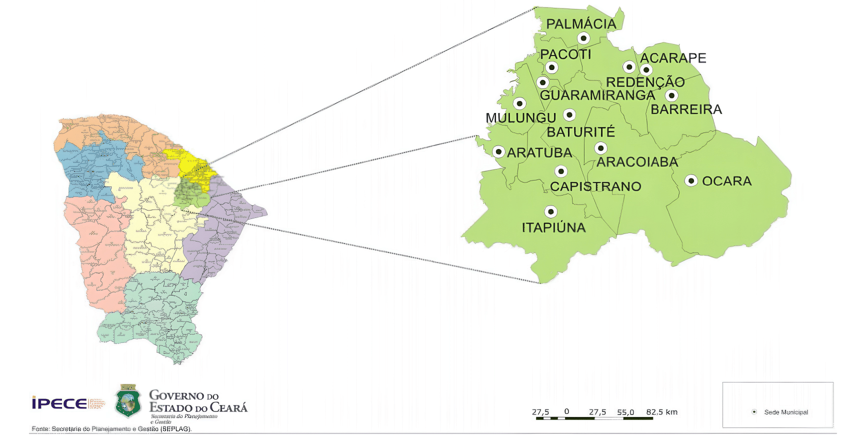
The Baturité Massif is a geological formation located in the central hinterland of Ceará, covering the municipalities of Pacoti, Palmácia, Guaramiranga, Mulungu, Aratuba, Capistrano, Itapiúna, Baturité, Aracoiaba, Acarape, Redenção, Barreira and Ocara.
Although it comprises 12 municipalities, Guaramiranga (the most famous), Pacoti, Mulungu and Baturité are the region’s main highlights.
Natural Features
This formation consists of limestone and granite rocks, and is rich in waterfalls, rivers and remnants of the Atlantic Forest.
Tourism is very active in this area, which has become a hub for local development, particularly in winter, when visitor numbers rise.
Many people don’t realise it, but Ceará has more to offer than just its capital and beaches. To escape the hustle and bustle of the big cities, the ideal option is to spend a weekend in the small towns of the Baturité Massif, where you can find peace and tranquillity amidst the lush natural surroundings.
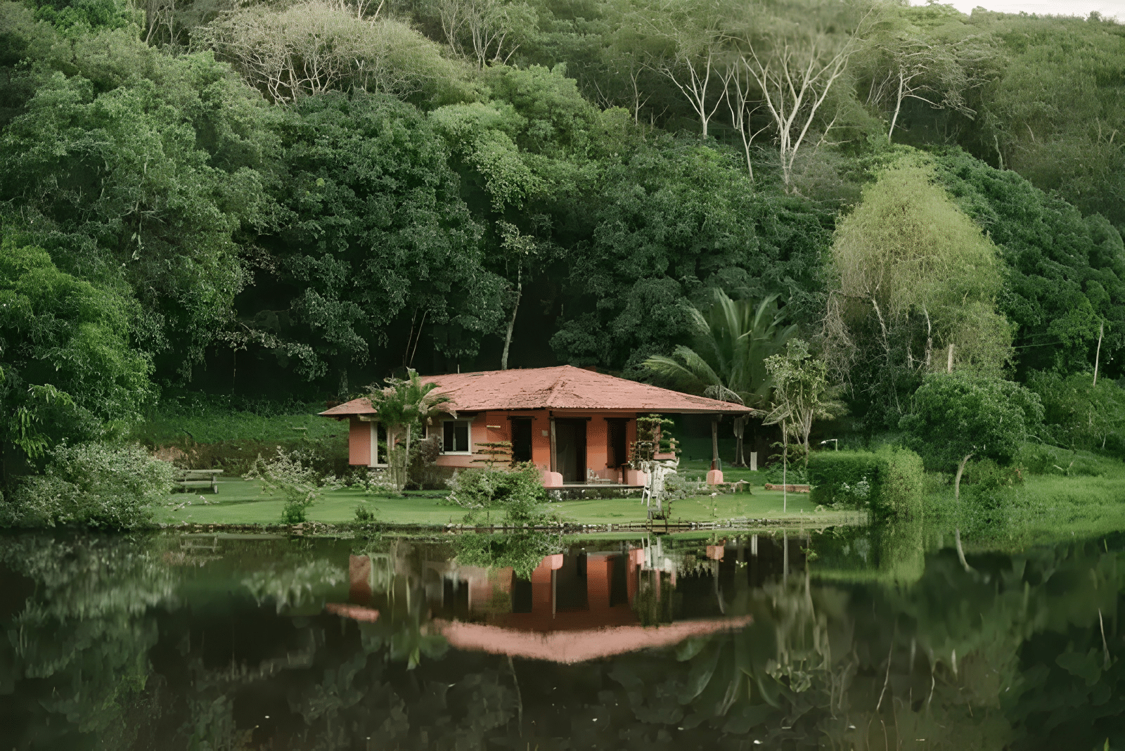
The fresh air is relaxing and the mild climate is extremely pleasant. The mountain range is truly magnificent.
The Ceará Ecotourism Programme comprises six hubs, including the Serra de Baturité, located 100 km from Fortaleza.
This region is home to 178 plant species and a wide variety of animal species, notably 154 bird species recorded in the Serra de Baturité Environmental Protection Area (APA).
The area is teeming with lush forests, waterfalls, cascades and caves, as well as offering nature trails and cliffs for abseiling.
Top Tourist Attractions in the Baturité Massif


Conheça Guaramiranga e o Maciço de Baturité, CE

Maciço de Baturité no Ceará00:58

Guaramiranga no Ceará00:57

Mosteiro dos Jesuítas em Baturité CE04:28
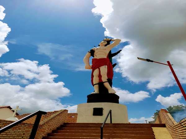
Mulungu no Ceará - Estátua de São Sebastião06:04

MACIÇO DE BATURITÉ - GUARAMIRANGA, PACOTI E BATURITÉ06:43
1. Pico Alto
The highest point in the region, at 1,115 metres, offers breathtaking views of the landscape and is a popular spot for hiking and nature watching.
2. Guaramiranga
Known as the “Switzerland of Ceará”, Guaramiranga is famous for its mild climate, flower cultivation, and theatre, jazz and blues festivals.
The town is particularly renowned for the variety of flowers that bloom in its fertile soil, making it a delightful destination for botany enthusiasts. The town has retained much of its original flora and is an excellent destination for those seeking peace and quiet and a connection with nature.
3. Baturity
As well as its rich history, Baturité is home to attractions such as the Igreja Cristo Rei, the Baturité Railway Museum and the Fabeer Craft Brewery. The town is an important base from which to explore the region.
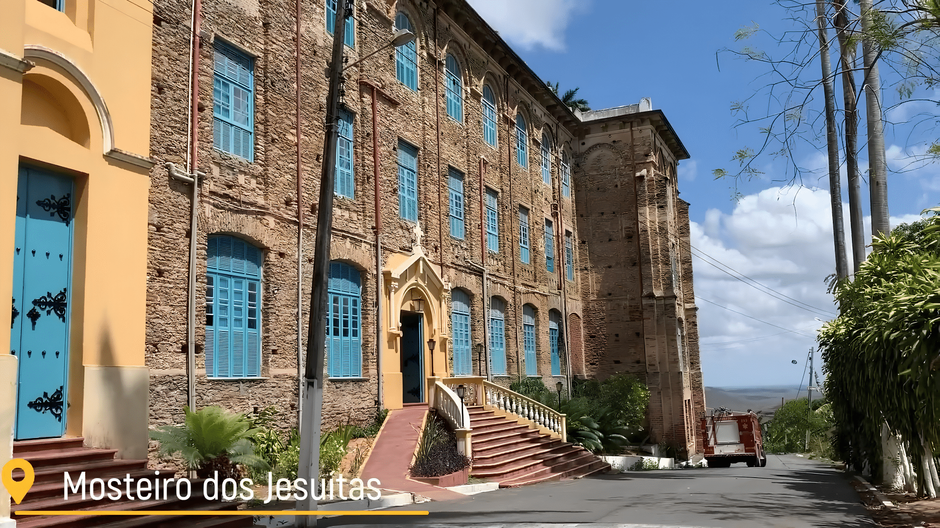
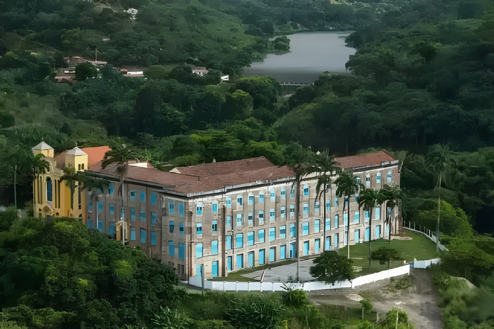
4. Jesuit Monastery

Mosteiro dos Jesuítas em Guaramiranga CE
An impressive historic building housing artefacts belonging to former residents. The site also features a viewing platform offering panoramic views.
5. Waterfalls
The region is home to several waterfalls, such as the Santa Edwiges Waterfall and the Perigo Waterfall, which are ideal for nature lovers and those looking for ecotourism activities.
6. Nature Trails
The Baturité Massif is criss-crossed with trails that allow visitors to explore the rich biodiversity of the Atlantic Forest, with the chance to spot a variety of bird and plant species.
7. Packages
Known as the “Little Princess of the Mountains”, Pacoti enjoys a mild climate and boasts a rich variety of fruits and flowers.
8. God
Situated at an altitude of 700 metres, Mulungu is renowned for its shade-grown coffee and offers an authentic taste of rural life in Ceará.
Top Tourist Towns in the Baturité Massif
1. Baturity
- Distance from Fortaleza: 106 km
- Access: CE 060 / CE 356
Baturité is situated at the foot of the mountain range that bears its name.
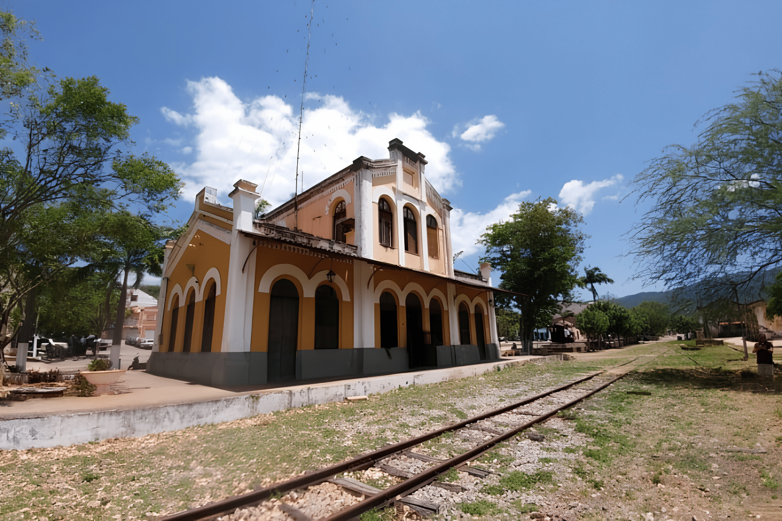
In the past, the town was of great importance because of the railway line that transported fruit and vegetables to Fortaleza.
The Baturité massif was once a major centre of coffee cultivation, which has now been almost completely abandoned.
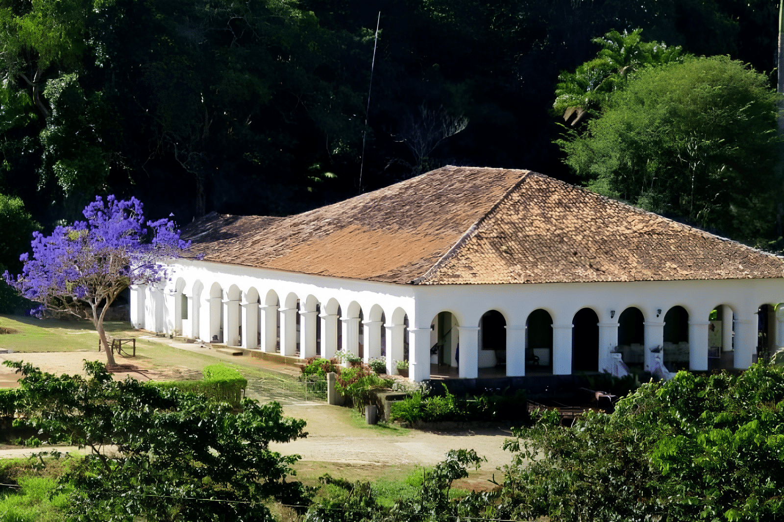
The pleasant climate attracted religious orders, such as the Jesuits, who built a famous college in the 18th century; although it is no longer in use, it now hosts conferences and welcomes guests at weekends.
The origins of Baturité date back to 1764, with the founding of the Royal Town of Monte Mor o Novo d’América, established to bring indigenous peoples together under an administrative system proposed by the Marquis of Pombal.
Following Brazil’s independence, the village adopted the indigenous name of the great mountain range, Baturité, which in Tupi means ‘true mountain range’.
When visiting Baturité, be sure to explore the Fabeer Craft Brewery, the Igreja Cristo Rei and the Baturité Railway Museum.
The local cuisine is also a major draw, offering traditional dishes such as carne de sol, queijo coalho and regional sweets.
2. Jesuit Monastery
The Jesuit Monastery is an impressive stone building, constructed by Portuguese Jesuits, which houses valuable artefacts belonging to the region’s former inhabitants. Located just 1.5 km from the centre of Baturité, the monastery features a viewpoint offering breathtaking views, accessible only via a footpath.
To ensure a smooth visit, we recommend contacting us before your arrival to check whether the monastery is closed for a retreat and to book visits for large groups.
3. Guaramiranga
- Distance from Fortaleza: 123 km
- Access: CE 060 / CE 356 / CE 065
Known as the Switzerland of Ceará, Guaramiranga is situated at an altitude of 865 metres and is famous for its flower cultivation and its theatre and jazz & blues festivals.
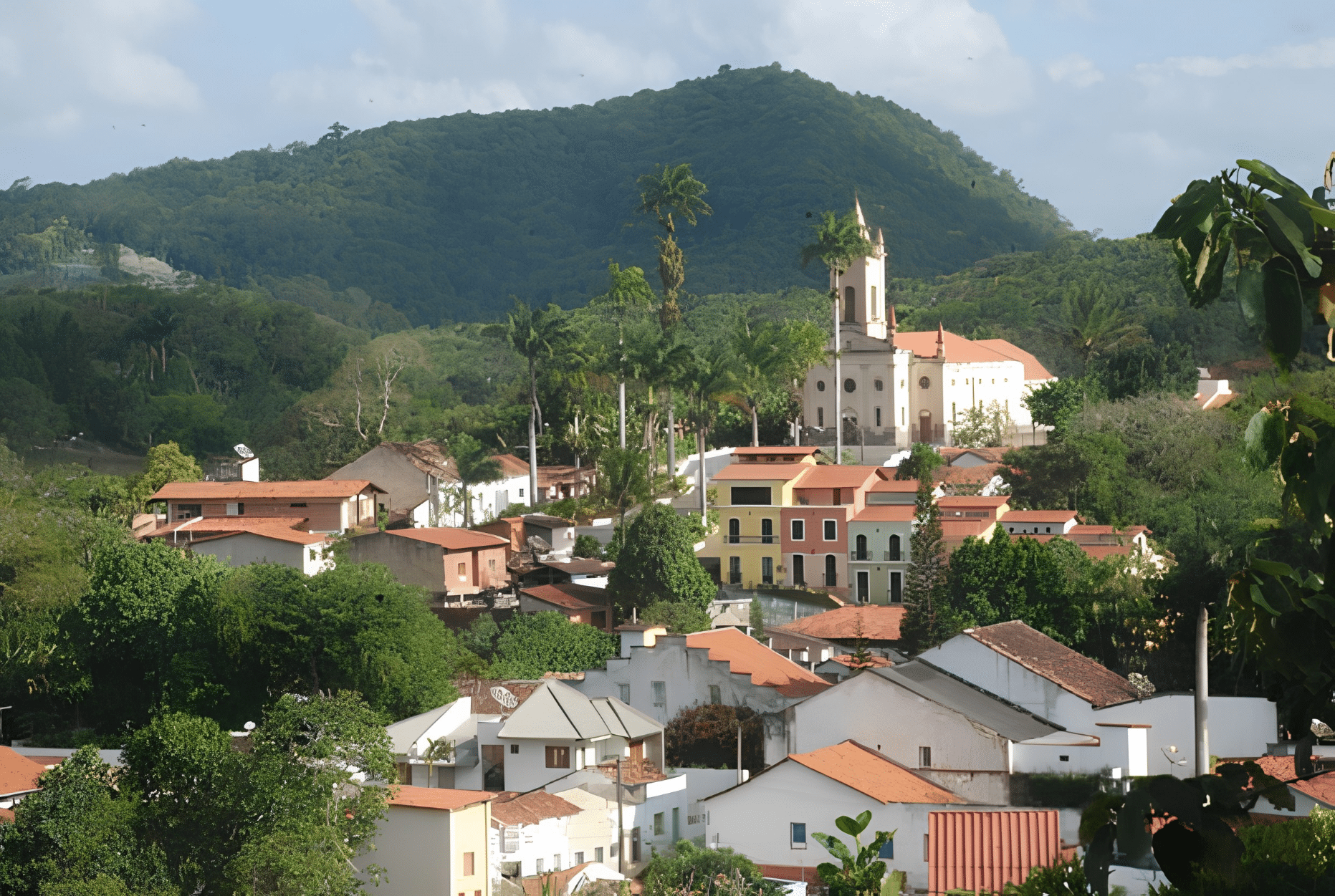
The city retains 80% of its original flora, comprising species from the Atlantic Forest and the Amazon Rainforest. A must-do is a visit to Pico Alto, at an altitude of 1,115 metres, which offers breathtaking views of the region and is ideal for walks amongst the remnants of the Atlantic Forest.
4. Packages
- Distance from Fortaleza: 130 km
- Access: CE 060 / CE 356 / CE 065
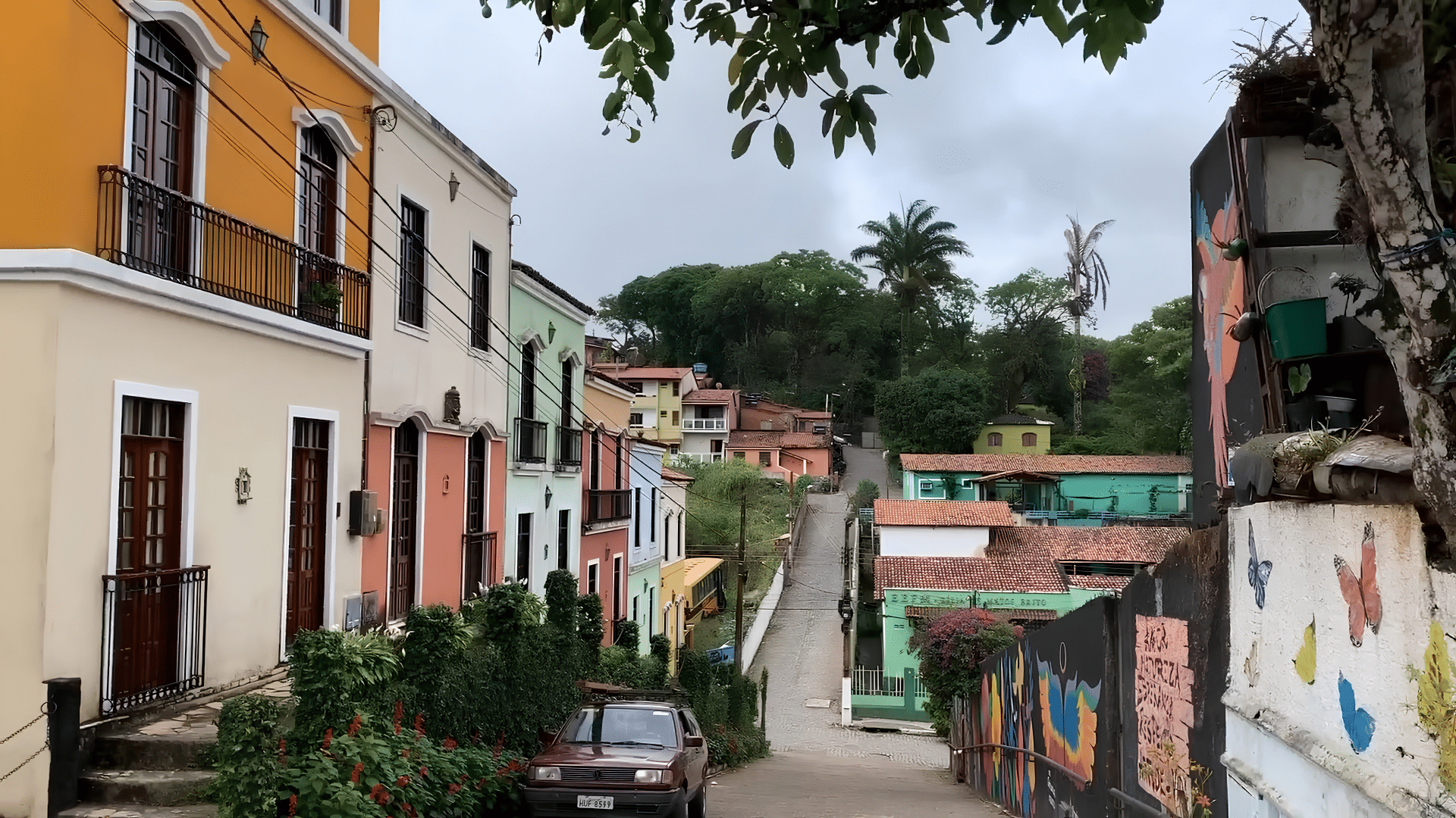
Known as the “Little Princess of the Mountains”, Pacoti enjoys a mild climate and boasts a rich variety of fruits and flowers. The town exudes history and retains the simplicity of a small country town.
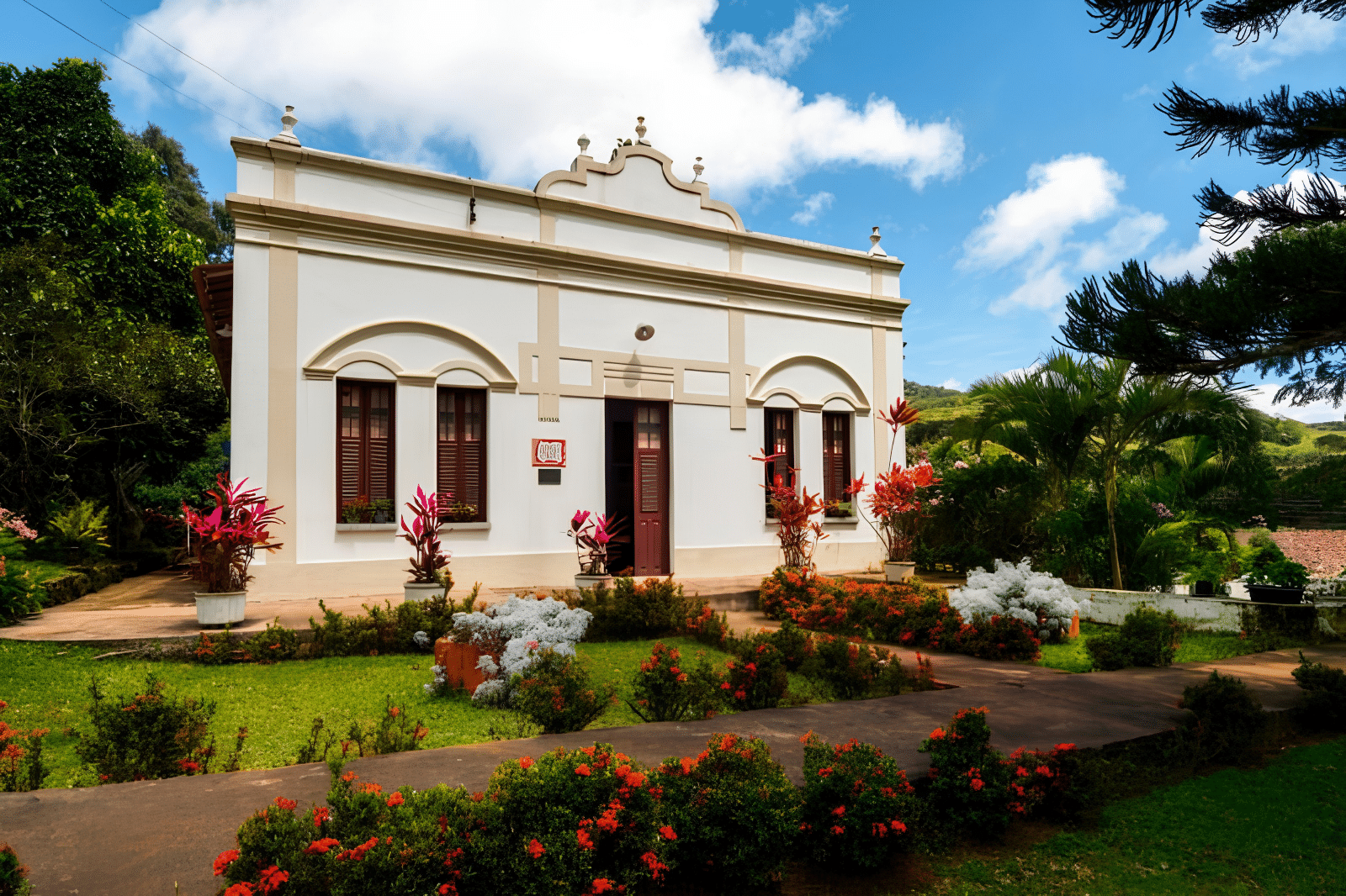
Highlights include the Chapel of Jesus Crucified, the Olho D’Água Estate and the Parish Church of Nossa Senhora da Conceição. The local cuisine is also worth mentioning, with traditional dishes that reflect the region’s culture.
5. God
- Distance from Fortaleza: 110 km
- Access: CE 004 / CE 114 / CE-065
Situated at an altitude of 700 metres, Mulungu is renowned for its shade-grown coffee and boasts a number of points of interest, such as Sítio Nova Holanda, São Sebastião Church and the São Sebastião Staircase.
What’s more, it’s a great place for those looking to get close to nature, with hiking trails and viewing points.
Tips for the Baturité Massif
In Guaramiranga, don’t miss the chance to visit Pico Alto, which offers temperatures of between 12°C and 15°C and a panoramic view of the entire region. The road linking the towns of Baturité, Guaramiranga and Pacoti is winding, so it’s important to drive with care.
Tourist Guide to the Baturité, Guaramiranga and Pacoti Mountain Range
Publicações Relacionadas
Icó: A Historical Gem in Ceará, Brazil
Ceará Mountains: A Guide to Nature's Wonders
Juazeiro do Norte: A Cultural and Historical Overview
Cariri in Ceará: An Ecological and Cultural Tourism Destination
Ubajara National Park: Adventure Awaits in Ceará
Serra de Ibiapaba: A natural paradise for adventure and ecotourism
Things to do in Guaramiranga — a guide to attractions, trails and itinerarie
Religious Tourism in Juazeiro do Norte and in Northeast Brazil
Lavras da Mangabeira and the Rio Salgado Canyon Guide
Three-day tour of the Cariri region of Ceará
This post is also on:
 Português
  English
  Deutsch
  Español
  Français