Published on · Updated on
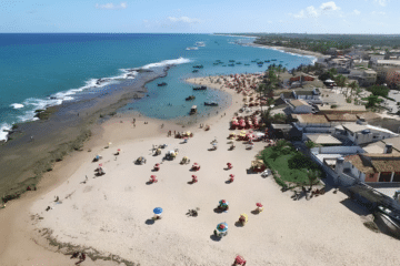
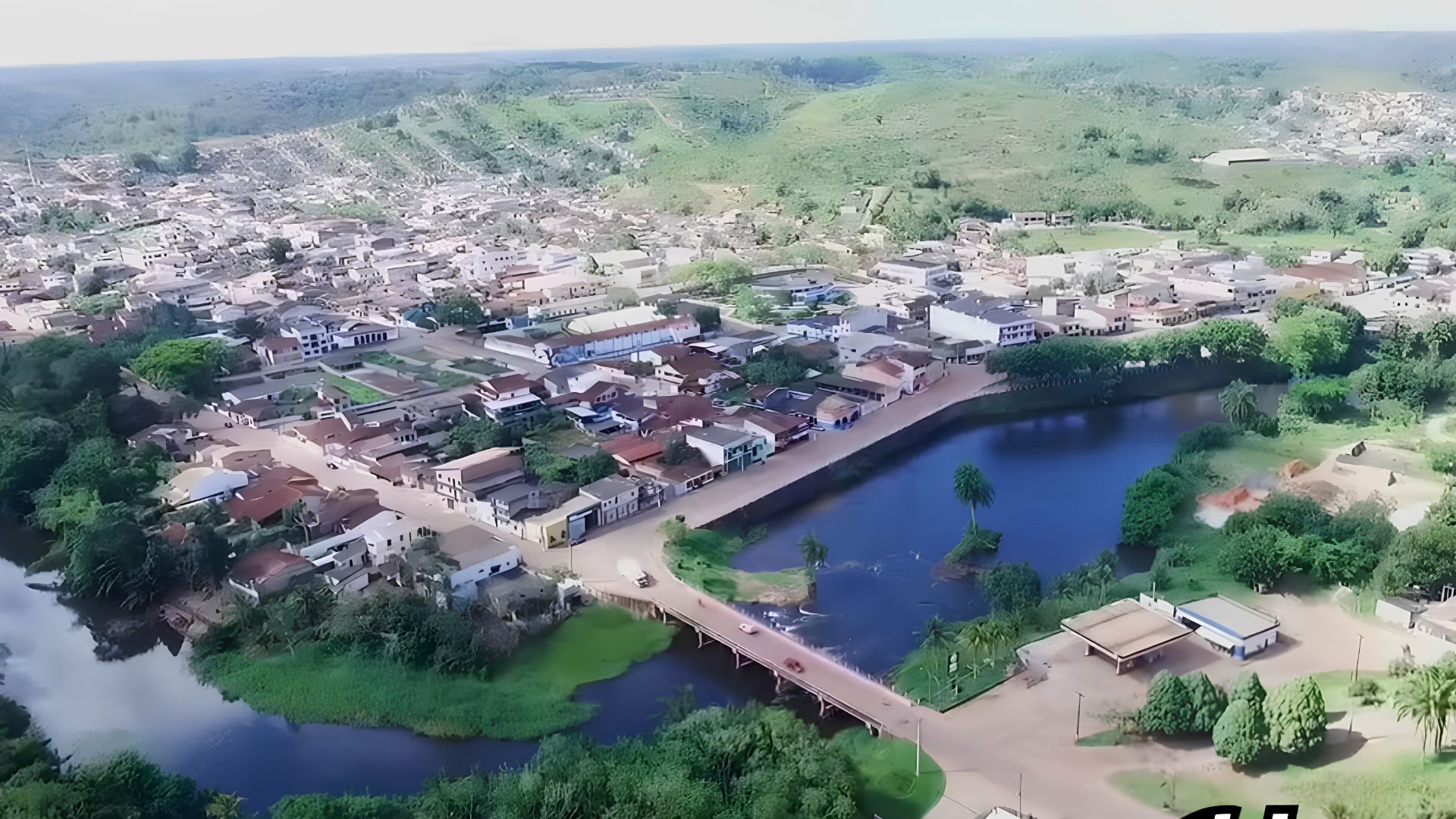
Una is a municipality in southern Bahia, on the Costa do Cacau, about 60 km from Ilhéus. It has almost deserted beaches, coconut groves, rivers and mangroves, as well as large areas of preserved Mata Atlântica (Atlantic Forest). In addition, it is home to Ilha de Comandatuba, famous for its luxury resort with its own airport. For this reason, it appeals both to those seeking nature and to those who prefer comfort.
- Where it is: on the southern coast of Bahia, between Ilhéus and Canavieiras, on the Costa do Cacau.
- Nearest city: about 60 km south of Ilhéus, via the BA-001.
- Population: 18,131 inhabitants (IBGE 2022 Census).
- Does it have beaches? Yes: Lençóis, Acuípe, Ilha do Desejo, Independência, Pedras, Itapororoca and Comandatuba.
- Highlights: Ilha de Comandatuba, Ecoparque de Una and Reserva Biológica de Una.
- Climate: humid tropical, hot all year round.
Imagine long stretches of pale sand framed by coconut groves and a calm sea. Then, trails through the forest lead to small rivers and semi-deserted beaches. For those who prefer luxury, on the other hand, the Comandatuba resort offers complete leisure facilities.
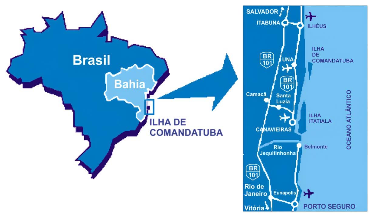
Where Una is: map and location
The municipality lies on the southern coast of Bahia, between Ilhéus to the north and Canavieiras to the south. Thus, it is part of the Costa do Cacau. In fact, the main link is the BA-001, the coastal highway that runs close to the beaches.

Facts about the municipality
- Population: 18,131 inhabitants, according to the IBGE 2022 Census.
- Area: about 1,127 km².
- Climate: humid tropical, hot all year round and with well-distributed rainfall.
- Distances: about 60 km from Ilhéus and more than 500 km from Salvador by road.
A little history
Before colonization, the region was inhabited by the Pataxó people (pataxós). According to the IBGE, settlement began around 1770, with the São José farm (Fazenda São José). Later, German and Polish settlers formed a village between the mouths of the Una and Maruim rivers. Subsequently, in 1860, the parish of Santo Antônio da Barra do Una was created. Then, in 1890, the place separated from Olivença and became a town; finally, in 1939, it became a city. As for the name, it is of Tupi origin and means “black” or “dark”.
Video about Ilha de Comandatuba

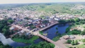
Beaches of Una
The beaches of the municipality are charming because of their calm waters, coconut groves and well-preserved nature. Since almost all of them have few facilities, they are ideal for those seeking peace and quiet.
Praia de Lençóis
Running parallel to the Acuípe river, Praia de Lençóis stands out for its mangroves, its restinga (coastal scrub) with bromeliads and birds, and its wide coconut groves. In addition, it has a guesthouse, cabins and holiday homes. That is why it is a good option for swimming and walking.
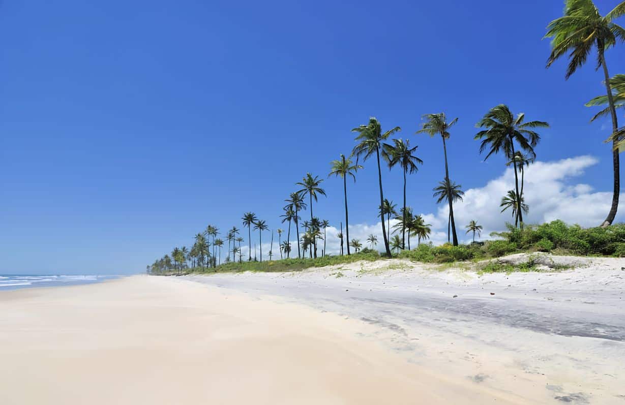
Praia de Acuípe
In the north of the municipality, about 29 km from the town centre, Praia de Acuípe lies on the border with Ilhéus. Access is via the BA-001; however, some stretches require permission from the landowners.
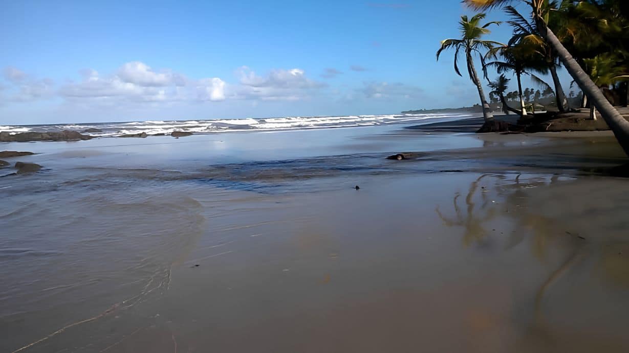
- Features: calm sea and warm water, ideal for a relaxing swim.
- Attractions: to the north, the sea meets the mouth of the Acuípe river; therefore, the spot is great for fishing.
Praia da Ilha do Desejo
Also in the north, on the border with Ilhéus, Ilha do Desejo is the continuation of Praia de Acuípe. First, from the BA-001, you cross a narrow wooden bridge surrounded by mangroves. Next, a ferry crosses the Acuípe river in about 3 minutes.
- Features: good for swimming at any tide, with lots of coconut palms and good tourist facilities.
- Attractions: to the south, the bar of the Acuípe river is great for fishing and swimming. Beyond the river mouth, moreover, the beach becomes deserted and attracts naturists.
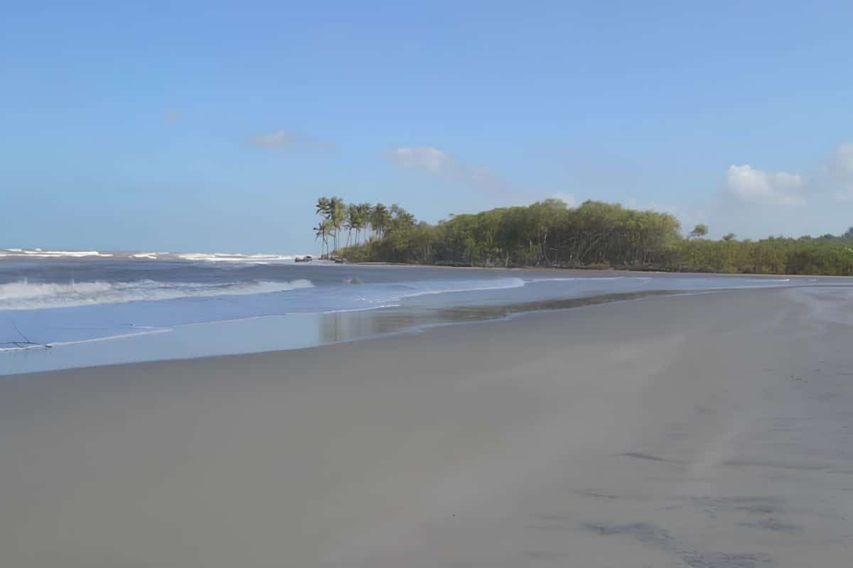
Praia da Independência
About 9 km from the town centre, Praia da Independência lies close to the village of Comandatuba and the hamlet of Pedras. Besides being little visited, it is easy to reach by car. Its big highlight, however, is the place where the river meets the sea.
Praia de Pedras de Una
In the hamlet of Pedras, about 13 km from the city, this beach is deserted and almost untouched. Access is via a side road, 3 km after the turn-off to Ilhéus. From there, it is 10 km on a dirt road, but it is usually in good condition.
The sea is calm at any tide and, for that reason, great for fishing. In addition, the shore is lined with coconut palms and, in the background, there is intact Mata Atlântica.
Praia de Itapororoca
In the central part of the coast, Praia de Itapororoca can be reached with permission from Fazenda Bolandeira. This farm, in turn, is on the BA-001, 8.5 km from the town centre, heading towards Comandatuba. After that, it is 10 km on a dirt road through the forest to the sea. In winter, however, some stretches flood; therefore, a 4×4 vehicle is ideal.
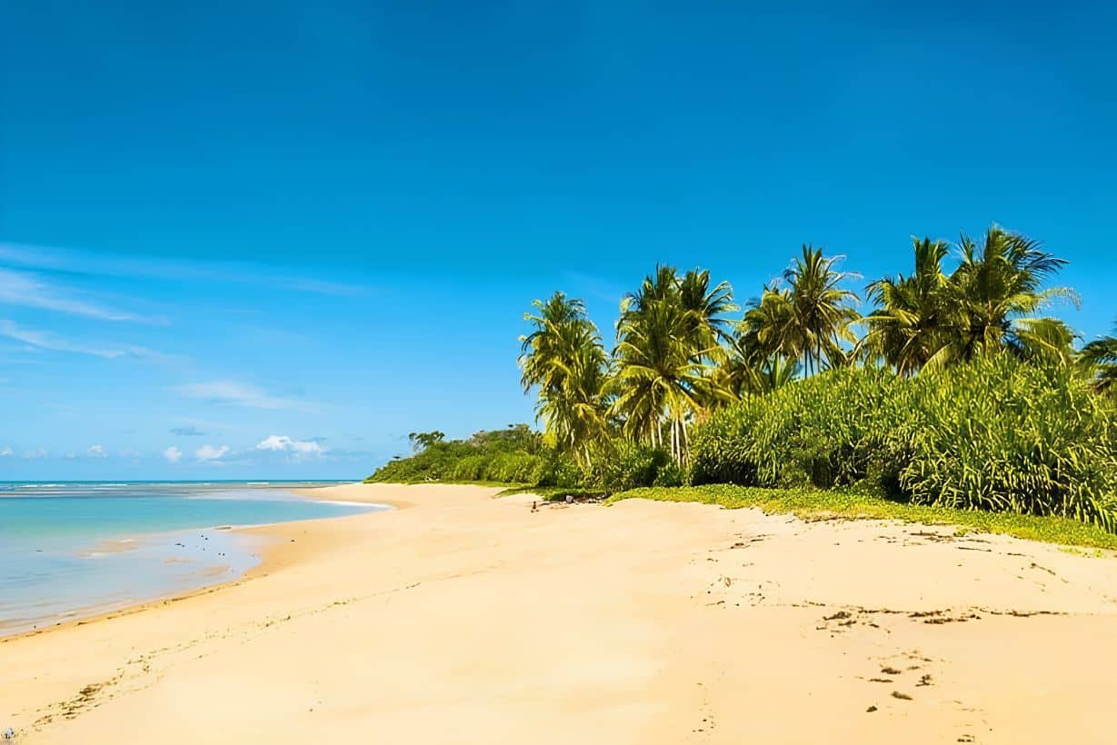
The beach is little visited and has strong waves, which are good for fishing. While the sand is surrounded by coconut groves, preserved patches of forest appear in the background. Interestingly, the name Itapororoca, of Tupi origin, means “stone that cracks”.
Praia de Comandatuba
Praia de Comandatuba is reached by ferry or boat, across the channel that separates the island from the mainland. In general, it is good for swimming and walking, with lots of coconut palms.
In addition, visitors can bathe in the black mud, which is considered medicinal. You can also visit a traditional local cottage and taste Dona Ginga’s caldinho de feijão (a thick bean broth) and Badá’s artisanal cachaças. Finally, there are demonstrations of traditional techniques, such as drawing water from a cacimba (shallow well) and climbing coconut palms with the peia (a foot strap for climbing coconut palms).
Other attractions in Una
Ilha de Comandatuba
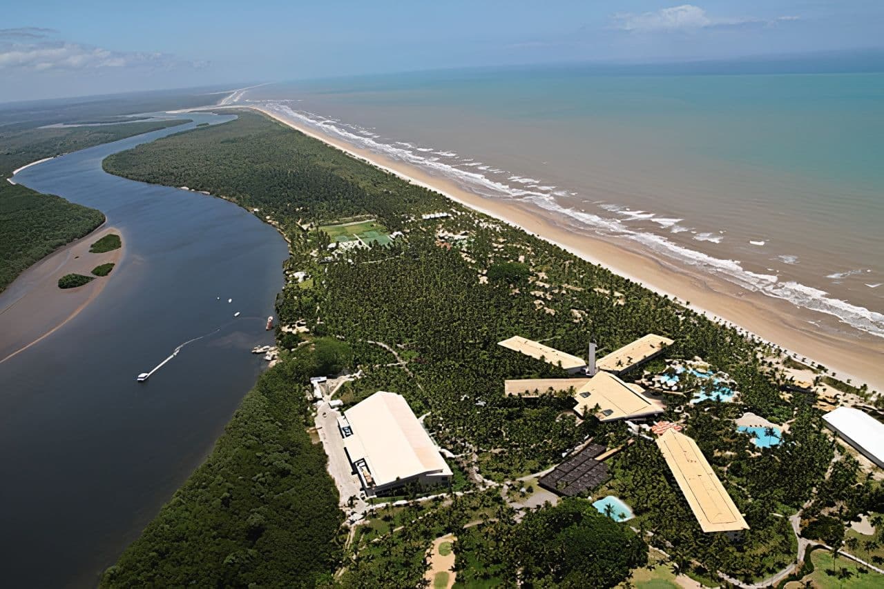
Ilha de Comandatuba is a narrow strip of land covered in coconut groves, with preserved wildlife and vegetation. As a result, it is ideal for water sports and boat trips.
- Luxury resort: one of the largest in Brazil, with a golf course, restaurants, swimming pools and its own airport.
- Local culture: in the villages of Comandatuba and Pedras, artisans and fishermen keep traditions alive, such as the puxada de mastro (the festive hauling of a ceremonial mast).
Ecoparque de Una
Ecoparque de Una is a Reserva Particular do Patrimônio Natural (RPPN), that is, a private nature reserve, owned by the Instituto de Estudos Socioambientais do Sul da Bahia (IESB). It lies on the banks of the Maruim river and, thus, borders the Reserva Biológica de Una. In addition, it serves as a centre for visits, research and environmental education.
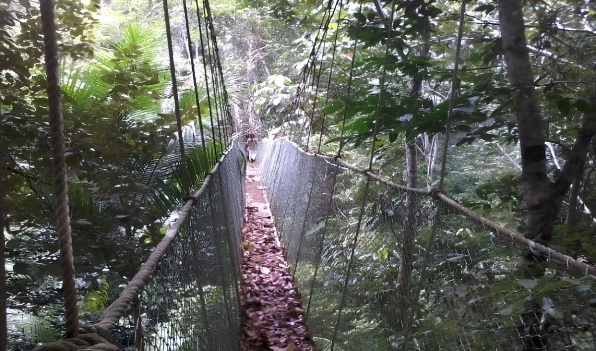
First of all, the main trail is about 2 km long and starts in a rubber plantation, where you can see rubber being tapped by hand. As you go further, the forest becomes taller and denser. Then, suspended walkways in the treetops reveal the forest from above.
With luck, you may spot the mico-leão-da-cara-dourada (golden-headed lion tamarin), an endangered species. Finally, at the end of the walk, you can cool off in the Maruim river.
- How to get there: via the BA-001, between Ilhéus and the town centre of the municipality, about 44 km from Ilhéus.
- Tip: check beforehand whether the park is open and whether you need to book your visit.
Reserva Biológica de Una

Created in 1980, the Reserva Biológica de Una protects about 18,700 hectares of Mata Atlântica. Its main mission is to preserve the golden-headed lion tamarin. However, because it is a strictly protected reserve, tourist visits are not allowed. For this reason, the best way to get to know this forest is through the Ecoparque next door.
Pedras de Una village
In the village, it is worth learning about the local history and taking a boat trip along the Una and Maruim rivers to Praia de Itapororoca. Usually, the trip is arranged directly with the fishermen. Access, by the way, is the same as for Praia de Pedras.
Rapids of the Una River
The rapids of the Una river make a good outing for those who want direct contact with nature. On the way, you pass the Vila Rica, Pancada Grande and Santa Vitória farms, all on the edge of the rapids.
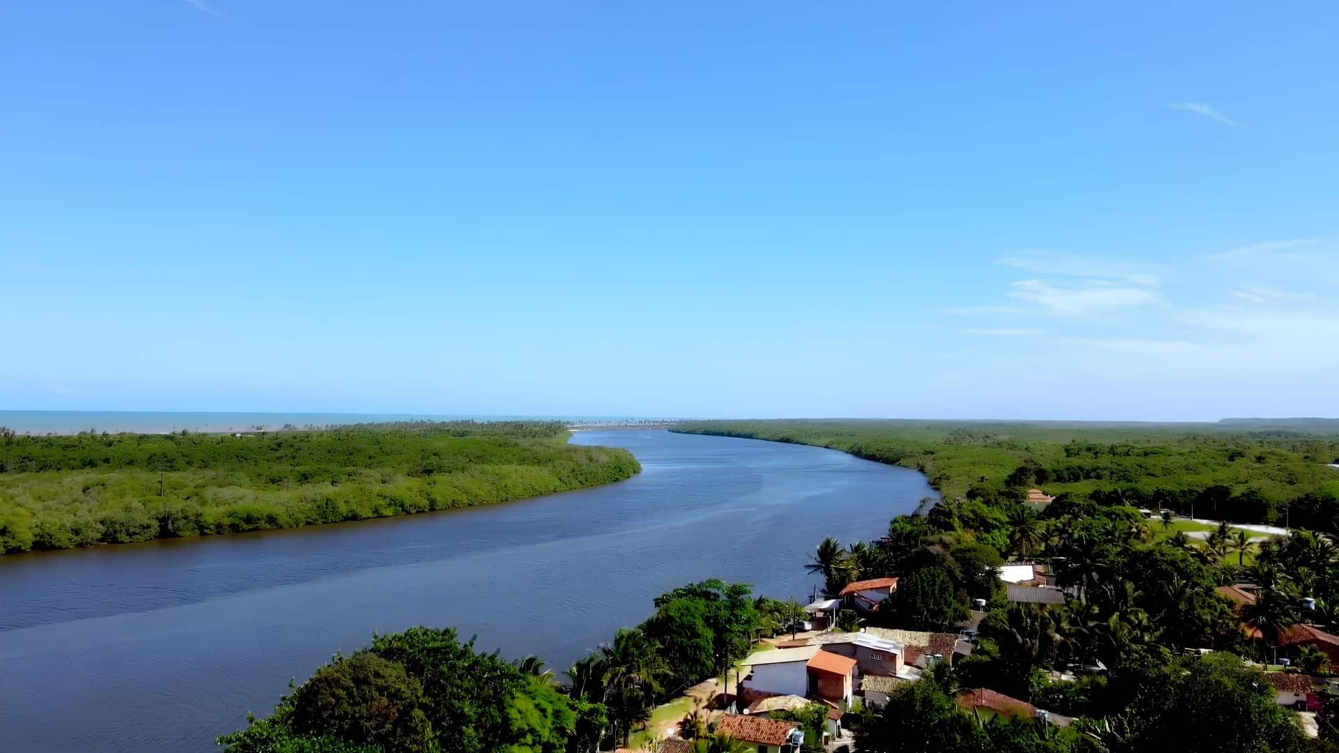
There, the plan is simple: bathe in the cool water and enjoy the calm. To get there, head towards the village of Colônia; after 2 km on a dirt road, you reach the rapids.
Comandatuba village
Visiting the village of Comandatuba is an immersion in the culture of fishermen and artisans. One of the highlights is the São Sebastião festival, with the traditional puxada de mastro. In addition, the village has guesthouses, restaurants, craft shops and a school that teaches how to make rugs and sarongs.
From there, boats leave along the Comandatuba channel for Ilha da Fantasia and Praia de Comandatuba. So, set aside the whole day. To get there, head towards Canavieiras for 16 km, turn left and drive another 3 km.
How to get to Una and tips
- By plane: the nearest airport with scheduled flights is in Ilhéus; meanwhile, the Comandatuba airport serves the resort.
- By car: from Ilhéus, it is about 60 km via the BA-001; from Salvador, more than 500 km.
- Dirt roads: several beaches are reached by dirt road; therefore, avoid days of heavy rain.
- Combine with: Canavieiras and Ilhéus.
Frequently asked questions about Una
Where is Una, in Bahia?
It is on the southern coast of Bahia, on the Costa do Cacau, between Ilhéus and Canavieiras.
In other words, it is about 60 km south of Ilhéus.
Which city is Una close to?
The nearest large city is Ilhéus, about 60 km away via the BA-001.
To the south, moreover, lies Canavieiras.
Does Una have beaches?
Yes. The main ones are Lençóis, Acuípe, Ilha do Desejo, Independência, Pedras, Itapororoca and Comandatuba.
In general, they are calm and little-visited beaches.
How many inhabitants does the municipality have?
According to the IBGE 2022 Census, it has 18,131 inhabitants.
As a result, the beaches tend to be quiet even in high season.
Is Ilha de Comandatuba in Una?
Yes, the island and the resort are in the municipality.
In addition, the resort has its own airport.

Publicações Relacionadas
Arembepe: beaches (Piruí, Praia do Canto), Hippie Village and the Tamar Project

Paranaguá Palace — History, architecture and visiting information | Ilhéus (BA)

São Jorge Parish Church in Ilhéus — history, architecture and religious art

History of the Convent and Church of Nossa Senhora da Piedade in Ilhéus

São Sebastião Cathedral (Ilhéus) — History, architecture and tourism
The 15 Most Visited and Well-Known Beaches in Bahia
The 3 most paradisiacal beaches in Bahia

Skydiving, Paragliding and Ballooning in Bahia

Historic Towns in Bahia: A Journey Through Time
Places to visit on the south coast of Bahia

História da Arte - Caracteristicas, Aspectos e Periodos
Tourist Attractions in Bahia: main attractions, beaches and cities

Subaúma, Bahia: where it is, things to do and where to stay
Massarandupió Naturist Beach, Bahia: Rules and Access
Beaches on the South Coast of Bahia: 10 Best and Tips
Towns and the Abrolhos Archipelago — The southernmost tip of Bahia

Baixio: Between lagoons, dunes and the charm of a village surrounded by nature
Best Beaches in Bahia: Your Guide to Paradise
Salinas da Margarida & Barra do Paraguaçu: beach guide

Guarajuba Beach, Bahia: Natural Pools and Tips

Barra do Cahy: Brazil's first beach - history and nature

Garcez Beach: Discover Paradise in Jaguaripe

Rio de Ondas, Barreiras: Acaba Vida and Redondo waterfalls
Catabrigas Waterfall — A natural haven in Ibirajá, Itanhém (BA)

Serra Grande: Your Guide to Bahia's Paradise
Corumbau, Bahia: Ponta de Corumbau, beaches, map, how to go

Taipu de Fora: Discovering Natural Pools

Iguaí (BA): attractions, waterfalls, map and history
Morro de São Paulo: Map, Beaches & How to Get There (2026)
Tourism in São Francisco do Conde (BA) — Tips and Attractions
Bay of All Saints, Bahia: history, islands and Recôncavo
Todos os Santos Bay — Nature, History and Water-based Tourism
Bay of Todos os Santos: nature, history and cultur

Rafting in Taboquinhas: The Ultimate Adventure Guide
Abseiling Sites in Bahia: Top Locations to Explore