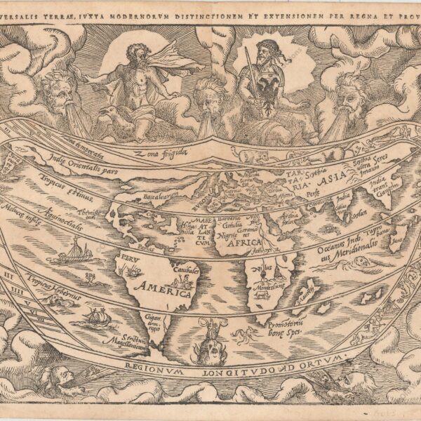
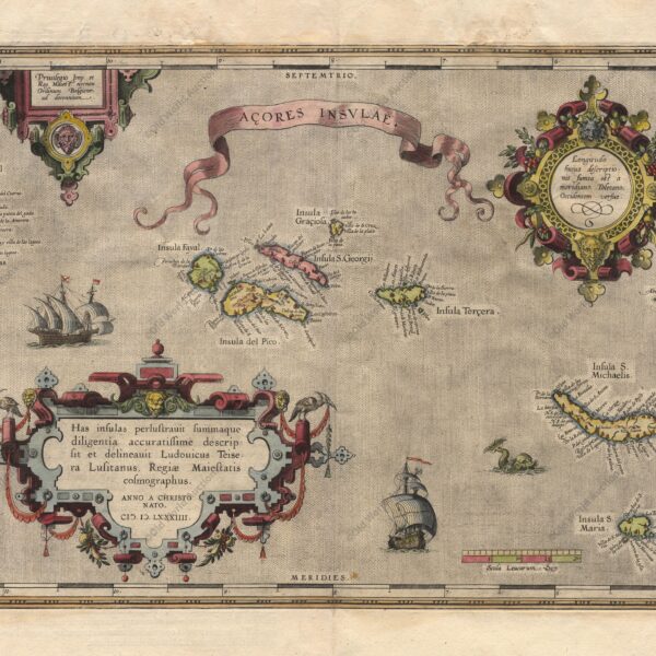
Map of the Azores from 1584 Map of the Azores based on the cartography of Luis Teixeira. The islands are shown in good detail and the map is richly embellished with three large ornate cartouches, a title banner, sailing ships and a sea monster. “Acores Insulae”, Ortelius, Abraham. Publication: Theatrum […]
Posts — Travel Guides and Tips for the North-East and Brazil | Bahia.ws
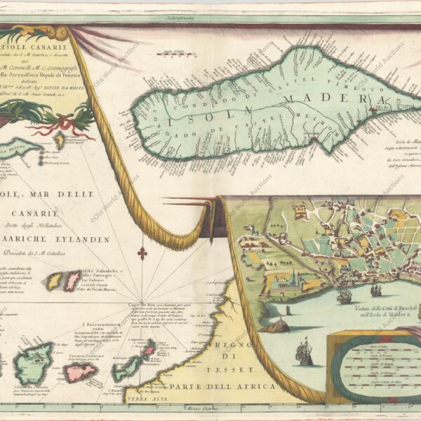
Map of Madeira and the Canary Islands from 1692
Map of Madeira and the Canary Islands from 1692 (circa) Map details the Canary Island group on the left side of the map. The map is filled with rhumblines, fleur-de-lis and many notations and includes a portion of the African coastline. With two large inset charts filling the right half […]
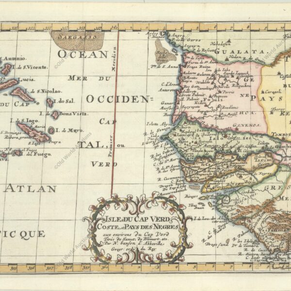
Map of West Africa and the Cape Verde Islands from 1699
Map of West Africa and the Cape Verde Islands from 1699 Map of the important Cape Verde Islands and the opposite African coast from Cap Blanc to Sierra Leone. There is a lot of detail along the African coastline, with numerous cities, capes, rivers, and more identified. A fancy decorative […]
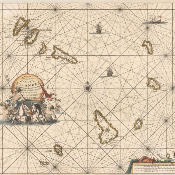
Map of the Cape Verde Islands, 1697
Map of the Cape Verde Islands, 1697 A large copper engraved sea chart of the Cape Verde Islands. A beautiful decorative title cartouche with a sea shell surrounds the title that rests above a scene of Poseidon, mermaids and horses. The chart is further adorned with two sailing ships and […]
Portugal’s Maritime Expansion – Prince Henry the Navigator
Infante Dom Henrique, known as the ‘Navigator,’ was a central figure in the early days of Portuguese discoveries: born in 1394, he participated in the expedition to Ceuta and, as Master of the Order of Christ and 1st Duke of Viseu, founded a centre for nautical studies in the region […]
Portugal’s Maritime Expansion – Navigation before the Discoveries
Navigation before the discoveries was a crucial period in maritime history, marked by innovations and adaptations that paved the way for the great explorations of the 15th century. During this time, Portuguese navigators began to improve their navigation techniques, developing more agile and resistant vessels, such as caravels, which became […]
Main Tourist Attractions in Piauí You Must Visit
Piauí brings together unique natural and historical attractions. In Teresina, you will find urban life and cultural centres; the Serra da Capivara National Park (São Raimundo Nonato) displays one of the largest collections of cave paintings in the world and archaeological sites recognised by UNESCO; and the coast offers the […]
Portugal’s Maritime Expansion – First Naval Operations
Portugal’s first naval operations marked the beginning of the systematic use of the navy as a military and political instrument. Since the time of Afonso Henriques, ships and coastal pilots began to play a decisive role in combat, sieges of cities and protection of routes, supporting both offensive actions and […]
Portugal’s Maritime Expansion – Fishing as the Origin
Portugal’s Maritime Expansion – Fishing as the origin of navigation The need to fish on the high seas led coastal communities to improve their vessels, navigation techniques, knowledge of winds and currents, and trade networks, which ultimately led to increasingly longer voyages and maritime exploration. 1. Dependence on Fishing Portugal, […]
7-Day Itinerary in Pernambuco with Historical Highlights
Pernambuco is a state in north-eastern Brazil known for its rich combination of history, culture and diverse landscapes. It has a coastline with idyllic beaches and reefs — such as Porto de Galinhas and Praia dos Carneiros —, passes through the agreste with its lively popular traditions and reaches the […]
Palma Church in Salvador: history, art and visiting
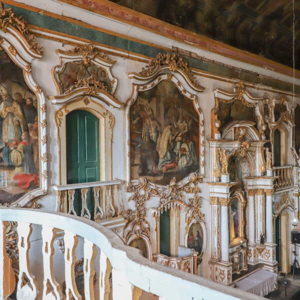
The Church of Nossa Senhora da Palma is one of Salvador’s most intriguing colonial churches. It stands on Largo da Palma, in the city centre, and grew out of the devotion of a 17th-century Bahian family. Later, it passed to the Augustinian friars, gained a convent and received woodwork, paintings […]
7-day itinerary through Maranhão
Maranhão is a state in northeastern Brazil marked by cultural and landscape diversity: it brings together colonial historic centres, popular festivals such as bumba-meu-boi, extensive mangroves, beaches and the famous Lençóis Maranhenses — dunes and freshwater lagoons unique in the world. The cuisine blends indigenous, African and Portuguese influences, and […]
7-Day Itinerary in Paraíba: Beaches and Culture
Paraíba boasts stunning beaches with colourful cliffs, sandbanks such as Areia Vermelha that emerge at low tide, and clear waters ideal for swimming and water sports — from João Pessoa to Tambaba and Coqueirinho, each coastline offers unique landscapes and options for those seeking rest or adventure. In addition to […]
7-day itinerary around Sergipe: Aracaju, Xingó and the beaches
This 7-day itinerary through Sergipe provides a day-by-day guide to exploring Brazil’s smallest state, which covers an area of 21,938.19 km². Your base is Aracaju, from where day trips depart for São Cristóvão, the Xingó Canyon, the Serra de Itabaiana and Praia do Saco. As the distances are short, you […]
7-Day Itinerary in Rio Grande do Norte: Natal, Pipa and Maracaja
This 7-day itinerary in Rio Grande do Norte is based in Natal and combines urban beaches and nature reserves. Start at Ponta Negra (walks and views from Morro do Careca — access to the summit is closed), then head north to the dunes of Genipabu and the parrachos of Maracajaú […]
Mapping: an Overview
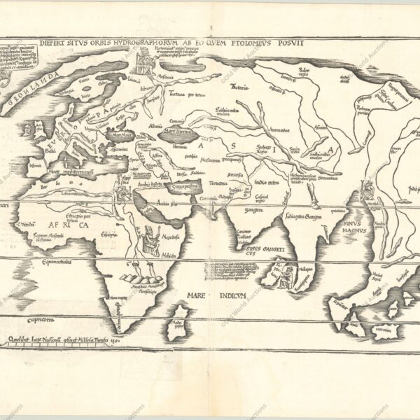
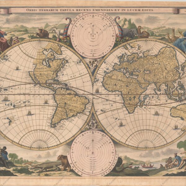
Mapping: A Comprehensive Overview of the History, Science, Techniques and Modern Applications of Cartography The purpose of a map is to express graphically the relations of points and features on the earth’s surface to each other. These are determined by distance and direction. In early times ‘distance’ might be expressed […]
National Surveys and Modern Atlases: Key Developments
National Surveys and Modern Atlases: Evolution, Methods, and Global Practices in Cartography Cartograthy since the early decades of the nineteenth century is characterized by the execution of regular topographical surveys as national undertakings. Most has been accomplished in Europe, in some countries of Asia (e.g. India, Japan, the Dutch East […]
Eighteenth-Century British Advances in Cartography and Surveying
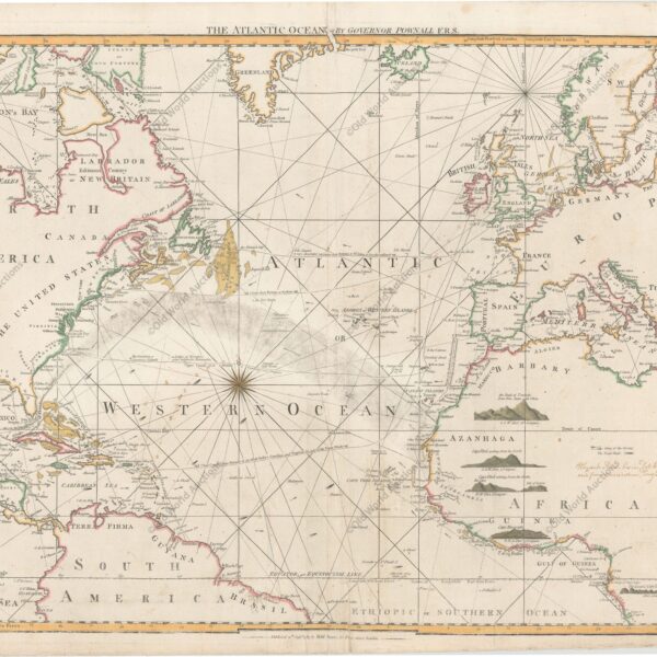
The British Contribution to Cartography in the Eighteenth Century: Instruments, Surveys and Global Mapping Introduction and scope A detailed study of the British contribution to cartography before the eighteenth century lies outside the scope of this outline. Accounts of the achievements of men such as George Lily, Christopher Saxton, Norden, […]
Reformation of Cartography in France – A Historical Overview
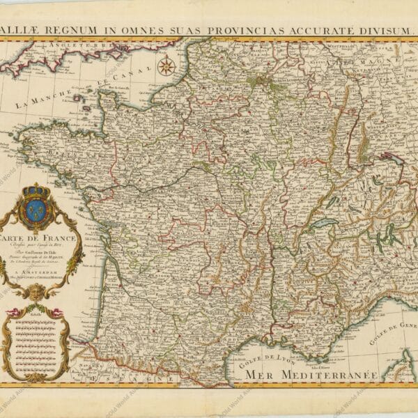
In the seventeenth century, the desire to test new hypotheses of the physical universe stimulated attempts to determine accurately the dimensions and figure of the earth, and these then became possible through the invention of more precise instruments to make the necessary observations. These included the telescope, the pendulum clock, […]
Levantamento topográfico nos séculos XV e XVI
Como vimos, novos mapas de vários países europeus começaram a aparecer nas edições de Ptolomeu antes do final do século XV. Em geral, eles se baseiam nos contornos das cartas náuticas, com nomes contemporâneos no lugar dos nomes de Ptolomeu e algumas características adicionais. Estas últimas provavelmente foram extraídas de […]