Published on · Updated on
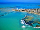
The Maragogi beaches map shows a coastline of green sea and natural pools in the far north of Alagoas, on the border with Pernambuco. Next to it, the towns near Maragogi, such as Japaratinga, Porto de Pedras and São Miguel dos Milagres, complete the Costa dos Corais, on the north coast of Alagoas. So, in this guide, you will find the map, the order of the towns and the best beaches in each one.
- Where it is: in the far north of Alagoas, about 130 km from both Maceió and Recife.
- Neighboring town (north): São José da Coroa Grande, already in Pernambuco.
- Towns to the south: Japaratinga, Porto de Pedras and São Miguel dos Milagres.
- Highlights: the Galés, Barra Grande, the Caminho de Moisés and Antunes.
- Tip: plan your trip around the tide table, because the pools appear at low tide.
Maragogi beaches map and the Costa dos Corais
From north to south, the coast follows this order: São José da Coroa Grande (PE), Maragogi, Japaratinga, Porto de Pedras and São Miguel dos Milagres. In addition, they are all part of the APA Costa dos Corais, a federal environmental protection area with long reef barriers.
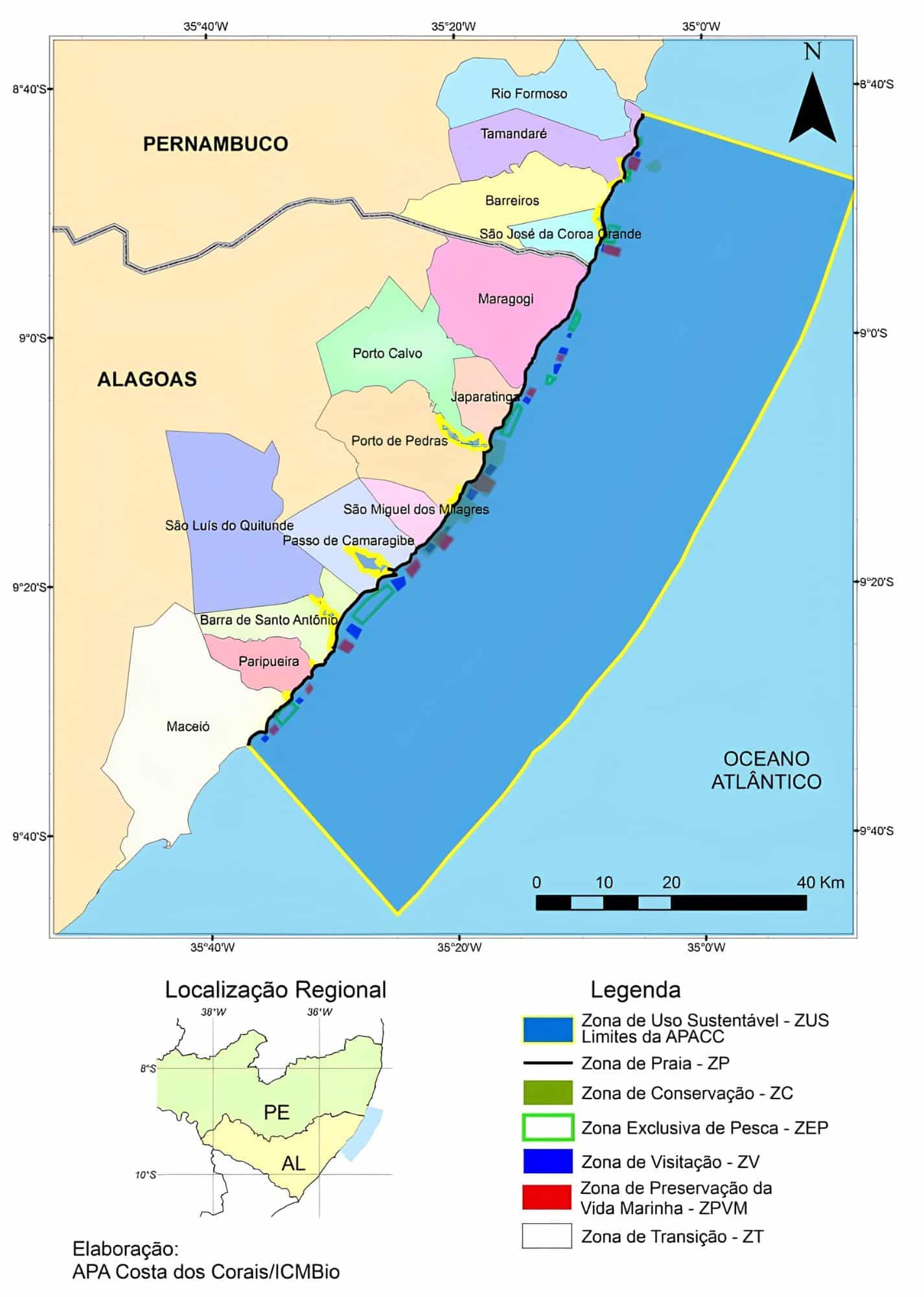
That is why the region has coconut groves, fine sand, warm water and plenty of natural pools. Some towns are famous, while others are still little explored.
How to get to Maragogi
First of all, Maragogi lies between two state capitals. So, you can arrive through the airports of Maceió – Zumbi dos Palmares (MCZ) or Recife – Guararapes/Gilberto Freyre (REC), both about 130 km away.
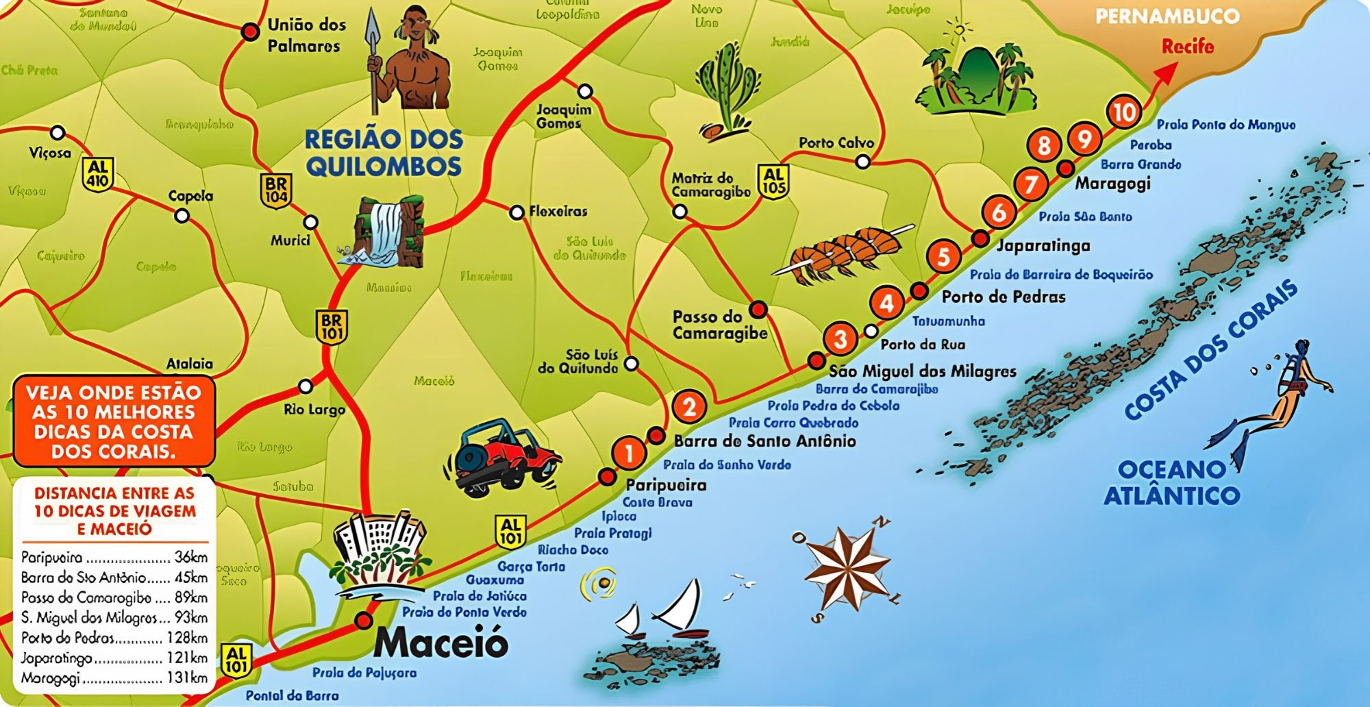
In general, the best option is to rent a car or book a transfer. Also, since Recife usually has more flights, arriving there can be more convenient. See also our guides to Maceió and Recife.
What to do in Maragogi
In general, almost everything revolves around the sea:
- trips to the natural pools, such as the Galés;
- buggy rides along the beaches;
- and, of course, lazy days on the sand.
After all, Maragogi is a small town, with 32,174 inhabitants (IBGE, 2022 Census), ideal for relaxing.
Maragogi beaches

Guia Turístico de Maragogi em Alagoas05:23

Todas as Praias do Norte ao Sul de Maragogi49:35

Praia de Xaréu em Maragogi03:44

Caminho de Moisés na praia de Barra Grande AL03:28

Praia de Antunes em Maragogi03:49

Município de Japaratinga em Alagoas02:47

Praia do Patacho em Porto de Pedras03:00

São Miguel dos Milagres em Alagoas07:19
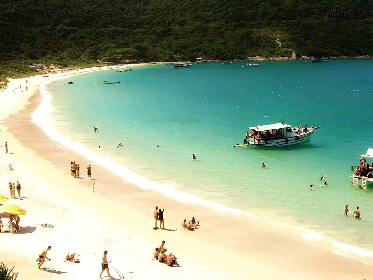
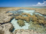
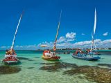
In fact, the green sea is reminiscent of the Caribbean. However, the beaches change a lot between low tide and high tide. At low tide, the sea recedes, sandbanks and natural pools appear, and you can walk many meters through shallow water.
Galés de Maragogi
The Galés are the most famous natural pools in town, formed on the reefs a few kilometers off the coast. However, you can only get there by boat or catamaran, at low tide, with authorized operators, since visits are controlled to protect the corals.
Maragogi Beach (town center)
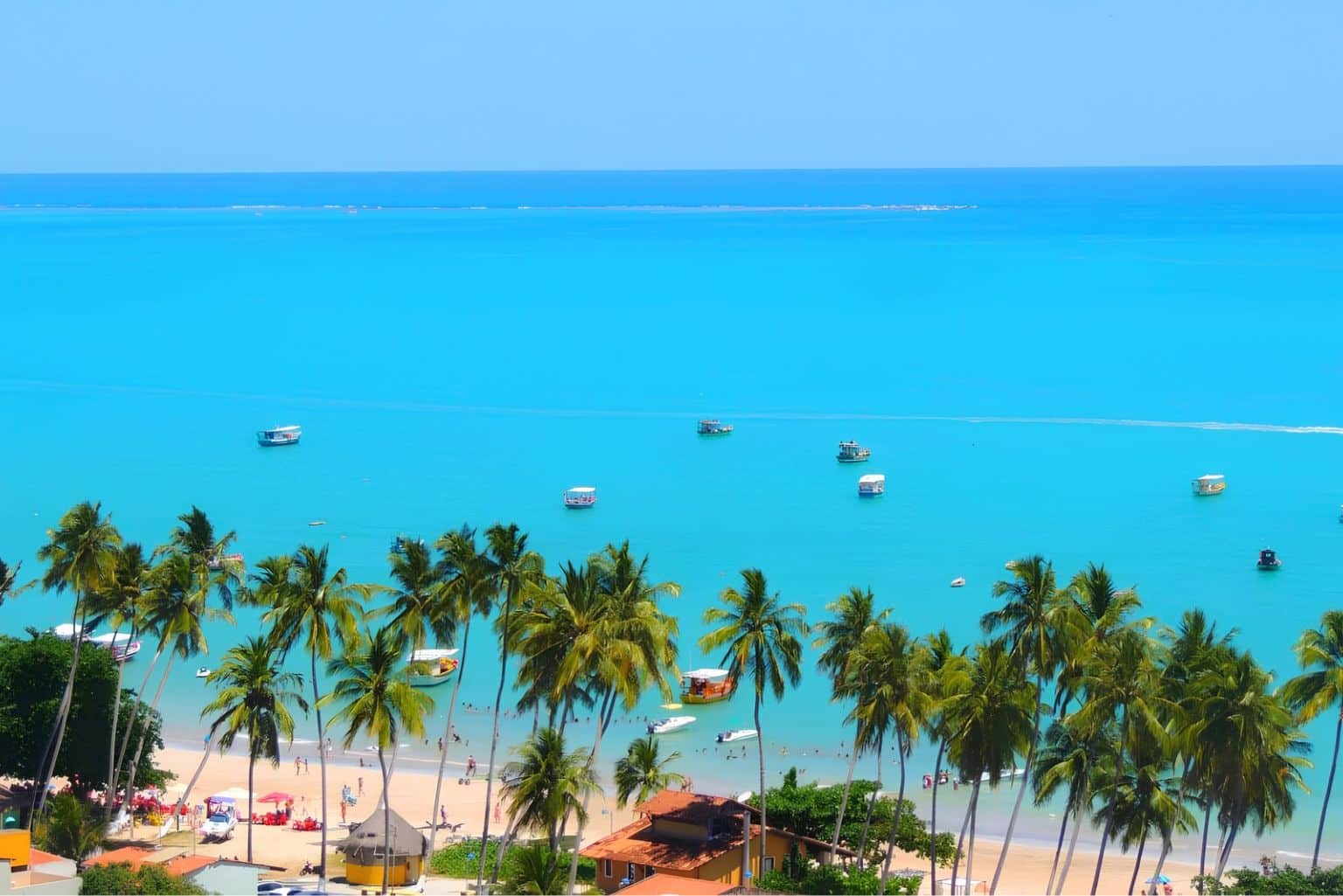
It is the town’s main beach and, therefore, it has restaurants and shops. Although it is not the most beautiful, many trips to the natural pools leave from here.
Xaréu Beach
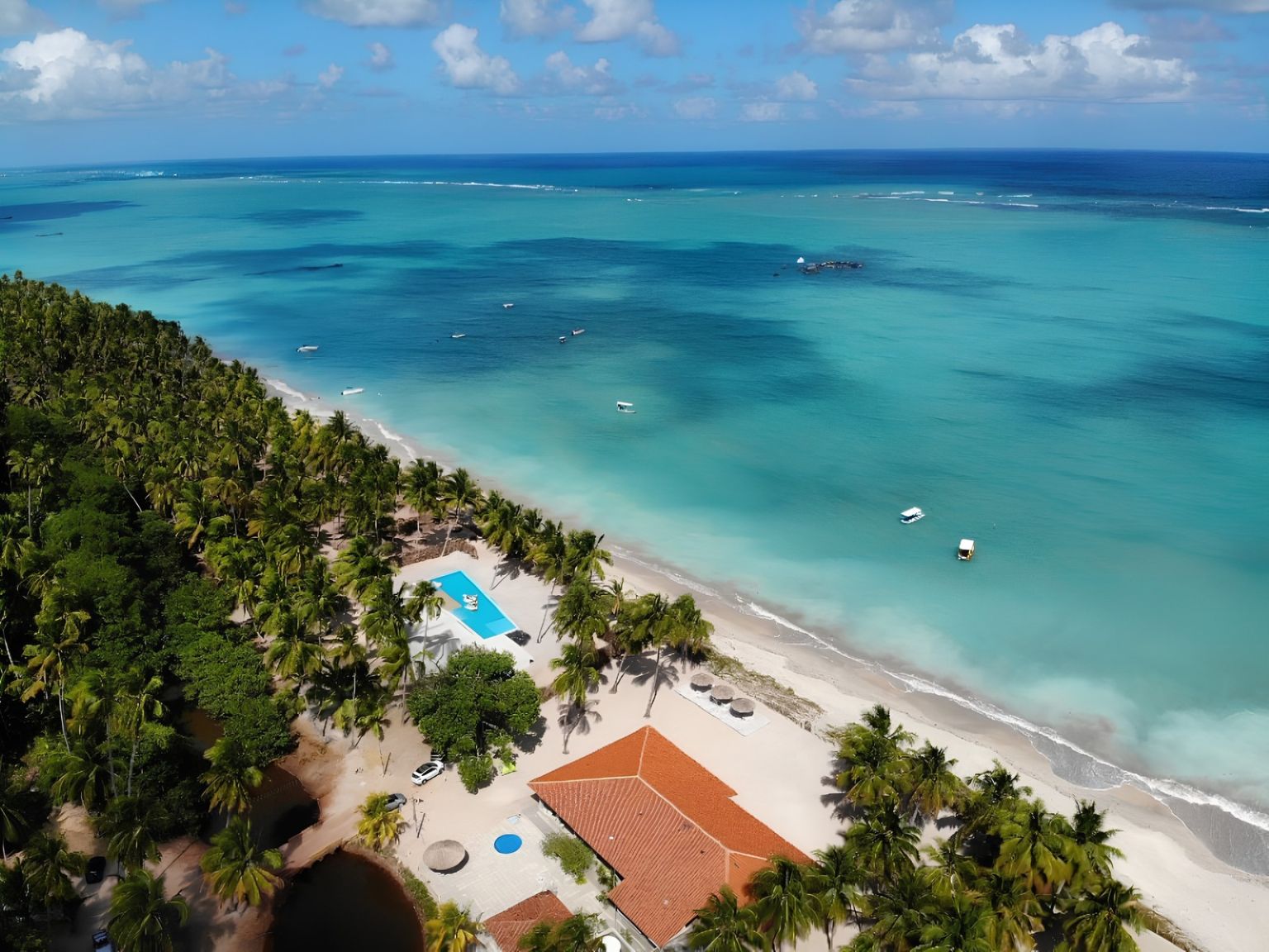
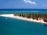
About 8 km from the center, it is ideal, above all, for those seeking peace and quiet. At low tide, it forms a lagoon of crystal-clear water, where you can walk far out to sea.
Barra Grande Beach
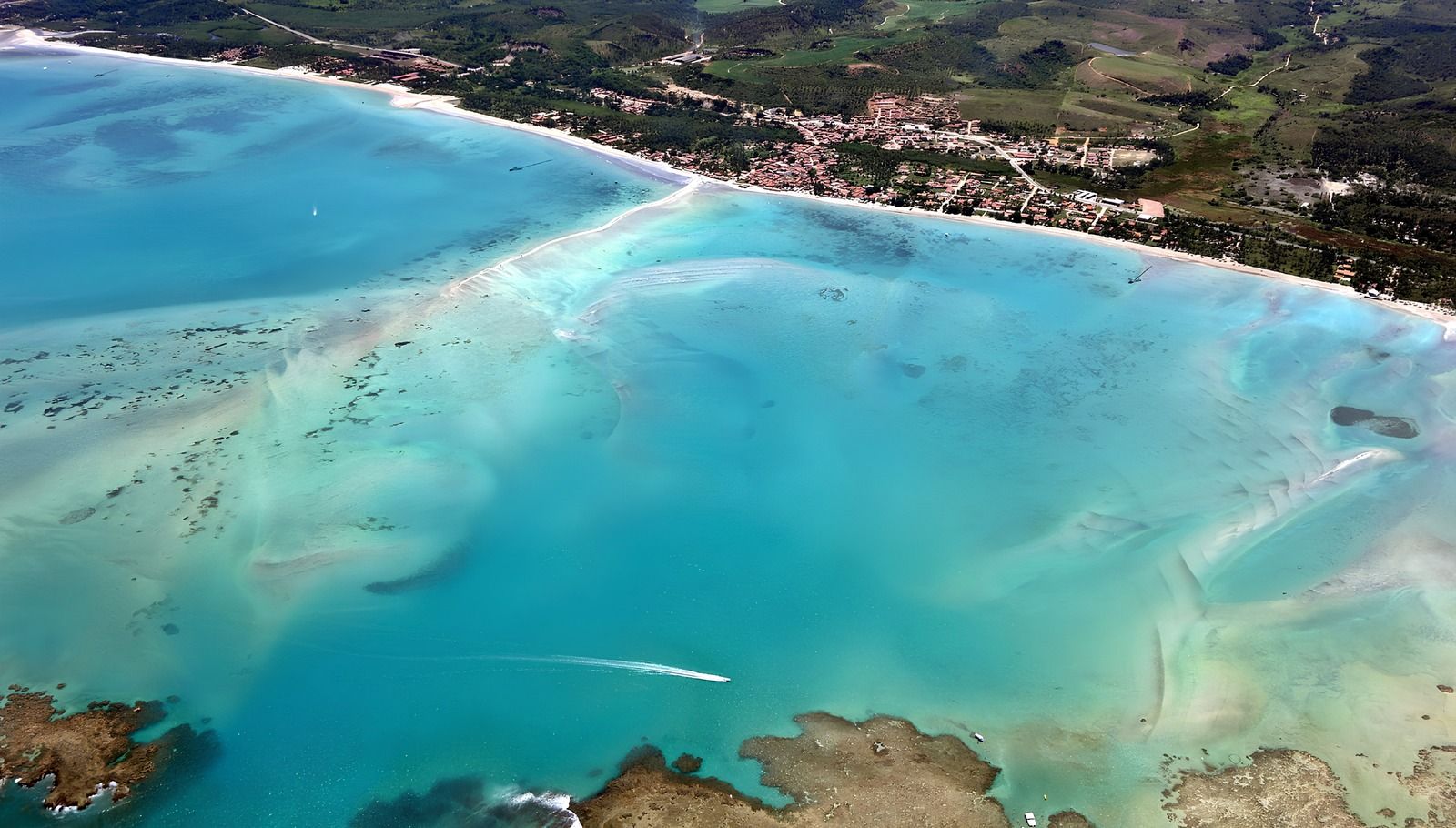
In turn, Barra Grande is one of the most popular beaches and has calm, clear waters, great for families. Moreover, at low tide, the sandbank leads out to the natural pools.
See: Barra Grande Beach in Alagoas has a paradisiacal setting
Caminho de Moisés
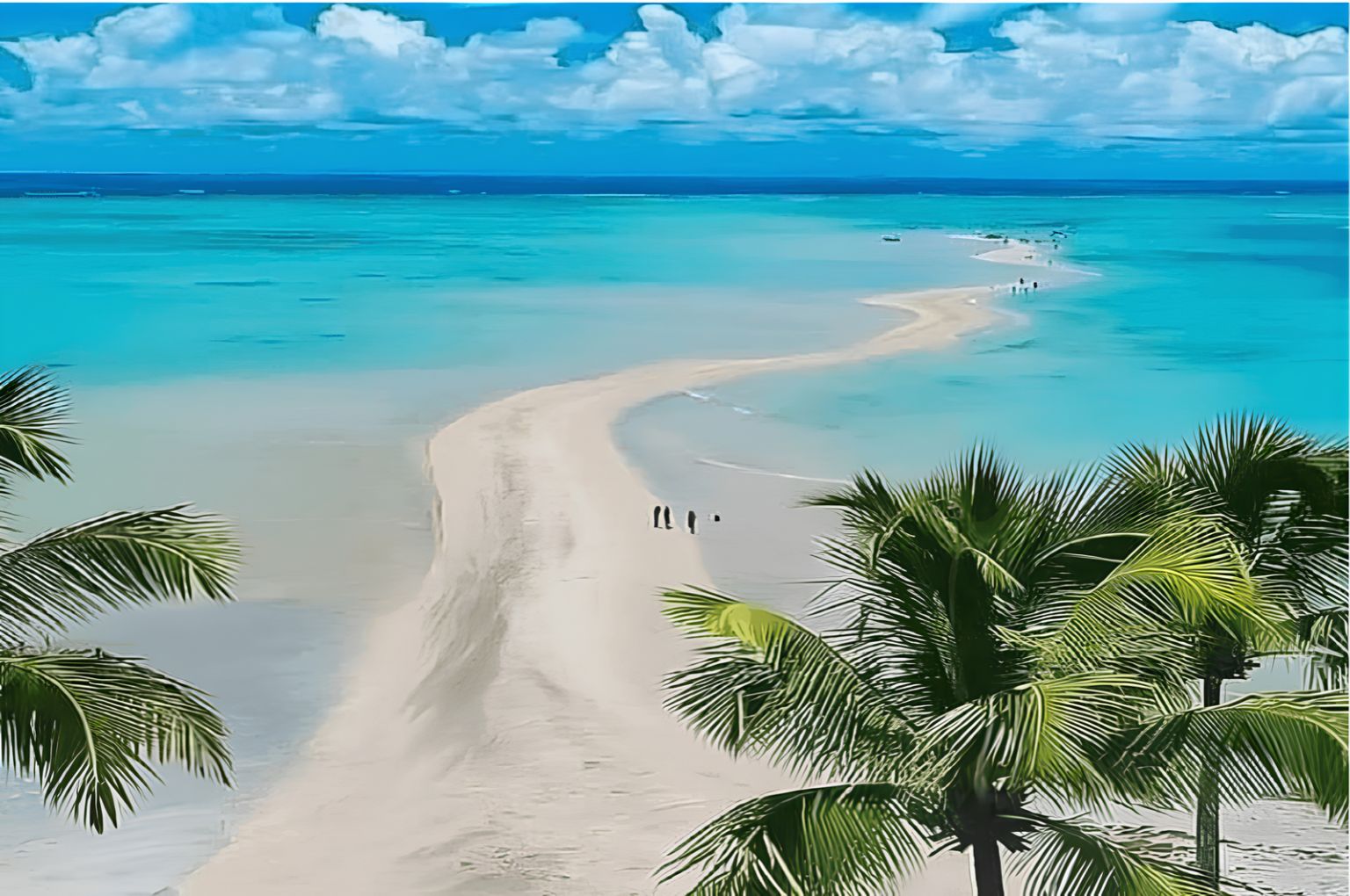
The Caminho de Moisés (Moses’ Path) is a sandbank that emerges at low tide in Barra Grande. As a result, you can walk out to sea in shallow water, which is good for children.
Antunes Beach
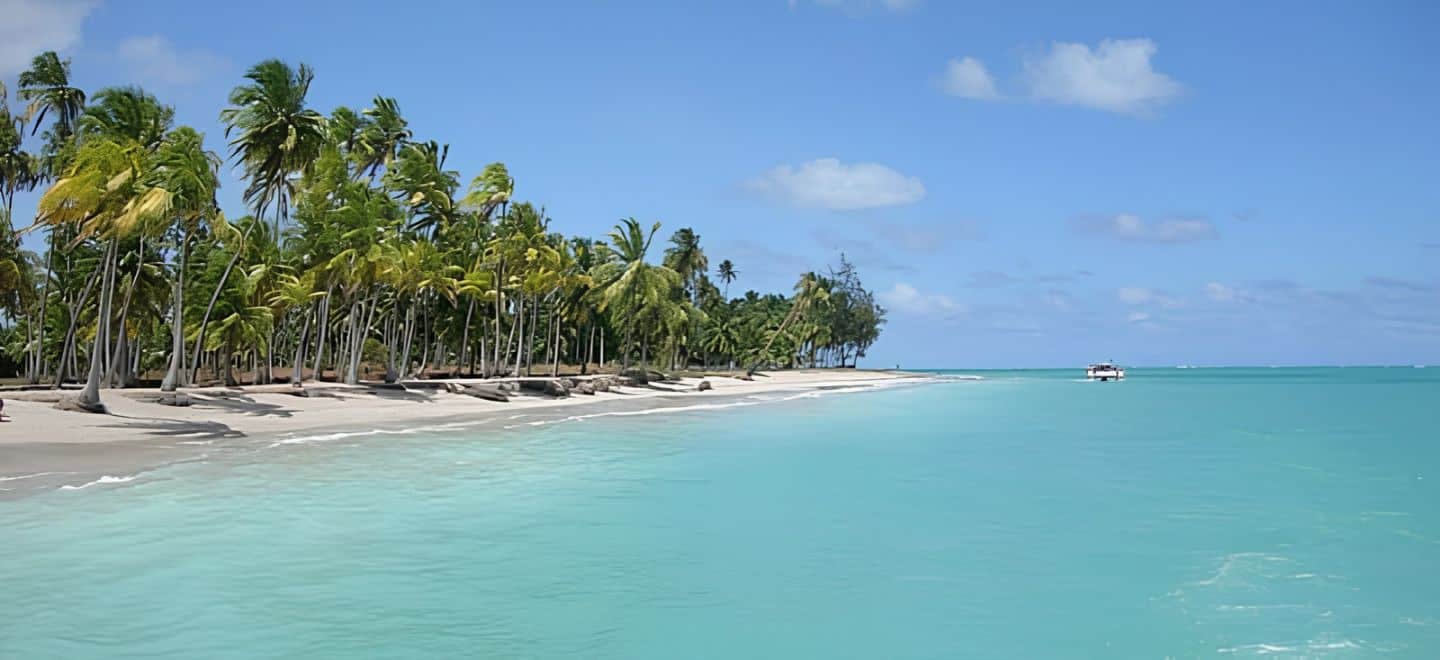
Famous for its beauty, Antunes also has beach huts and pools of blue water. Likewise, at low tide, sandbanks form so you can walk out to sea.
Towns near Maragogi
São José da Coroa Grande (PE), the neighboring town
Just to the north, already in Pernambuco, São José da Coroa Grande is Maragogi’s neighboring town. In addition, it also has natural pools and quiet beaches.
Japaratinga
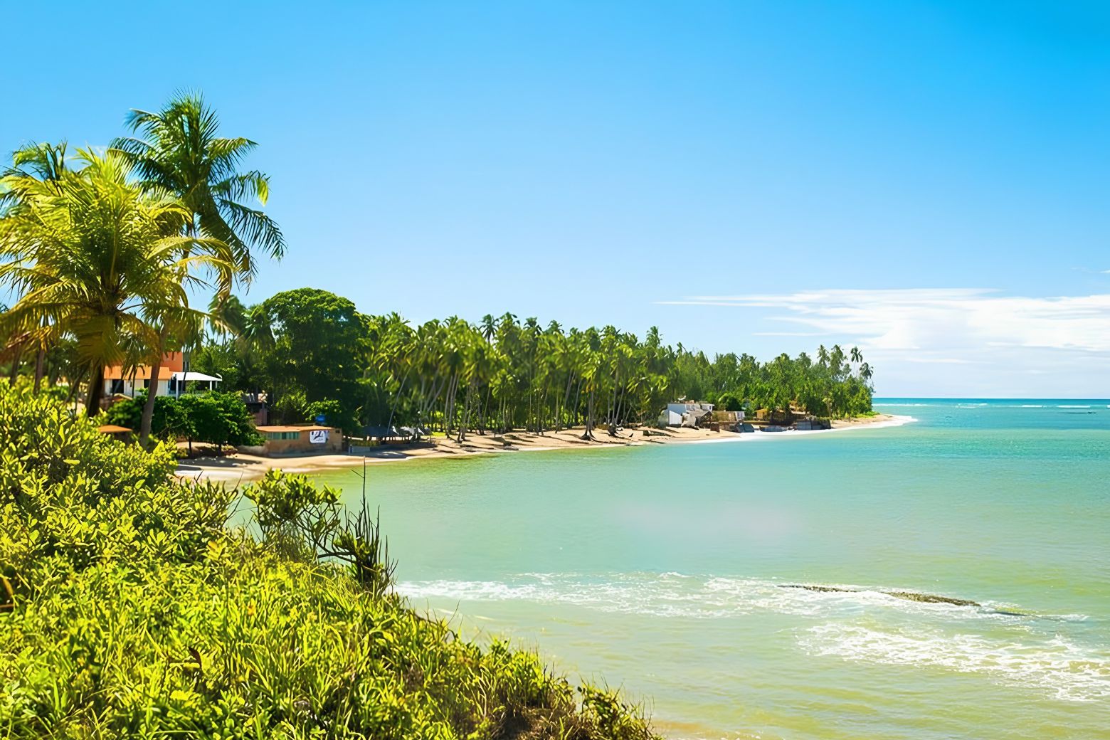
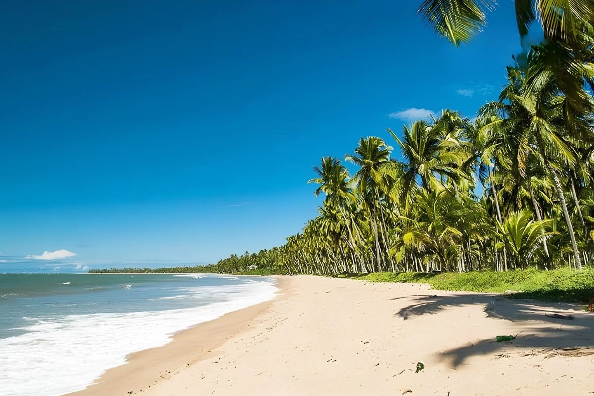
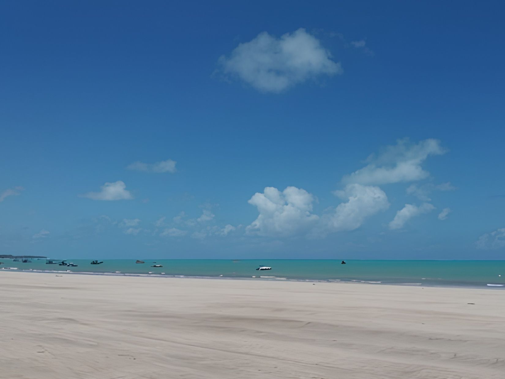
South of Maragogi, Japaratinga is a former fishing village, with 9,219 inhabitants (IBGE, 2022 Census). Although it is still little known, it has natural pools, sandbanks and plenty of peace and quiet.
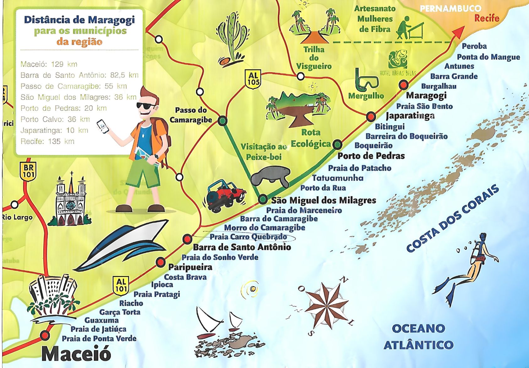
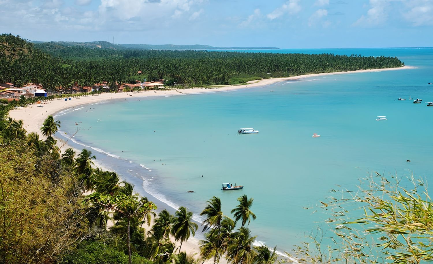
- Japaratinga Beach: the main one, with bars, restaurants and colorful cliffs.
- Bitingui Beach: one of the favorites, with a calm sea that is good for snorkeling.
- Barreiras do Boqueirão: natural pools at low tide, light sand and coconut palms.
- Pontal Beach: where the rio Manguaba meets the sea; it is quiet, and a ferry crosses to Porto de Pedras.
Porto de Pedras
After the rio Manguaba comes Porto de Pedras, with 9,295 inhabitants (IBGE, 2022 Census) and unspoiled beaches. The highlight is Patacho Beach, surrounded by thousands of coconut palms and with almost no commerce.
Furthermore, on the rio Tatuamunha, in Porto de Pedras, you can see the manatee on a raft trip linked to a conservation project.
São Miguel dos Milagres
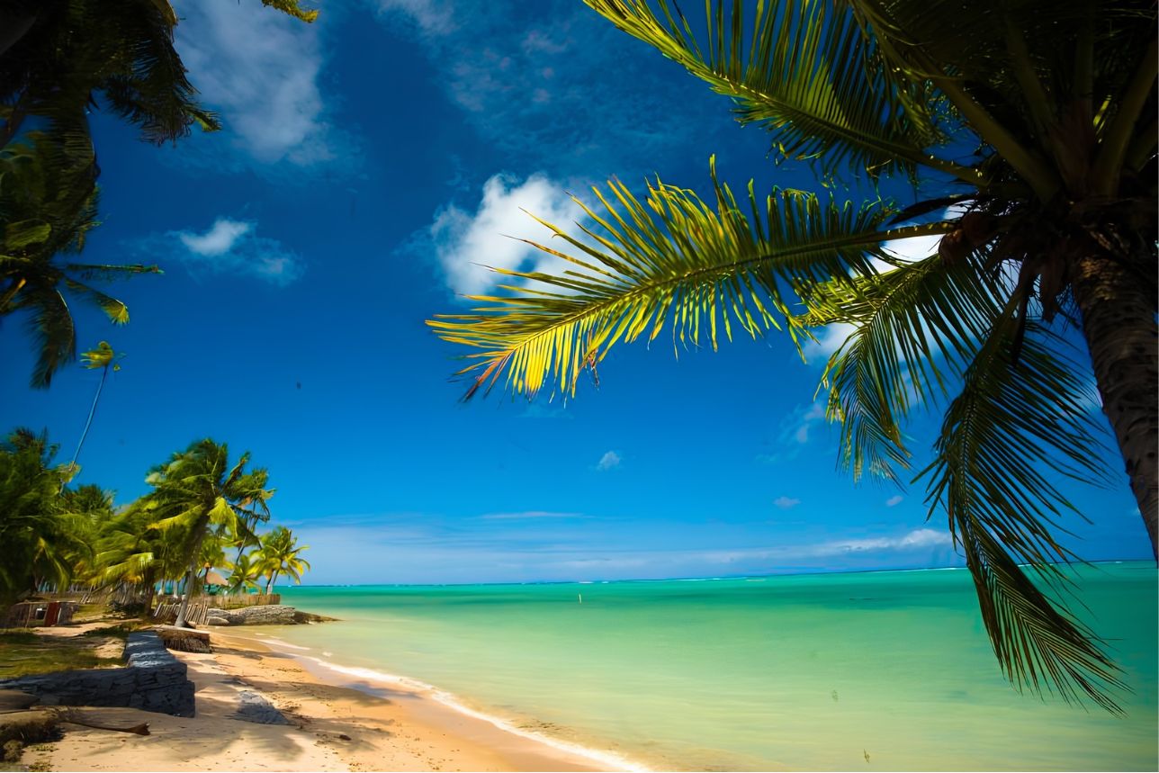
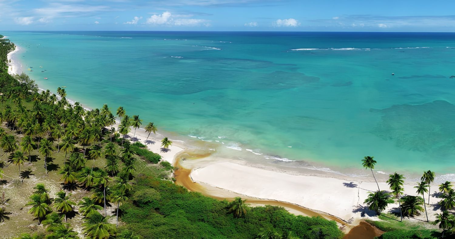
Further south, São Miguel dos Milagres has 8,482 inhabitants (IBGE, 2022 Census) and is increasingly sought after. Together with Porto de Pedras, then, it forms the so-called Rota Ecológica (Ecological Route), with charming guesthouses.
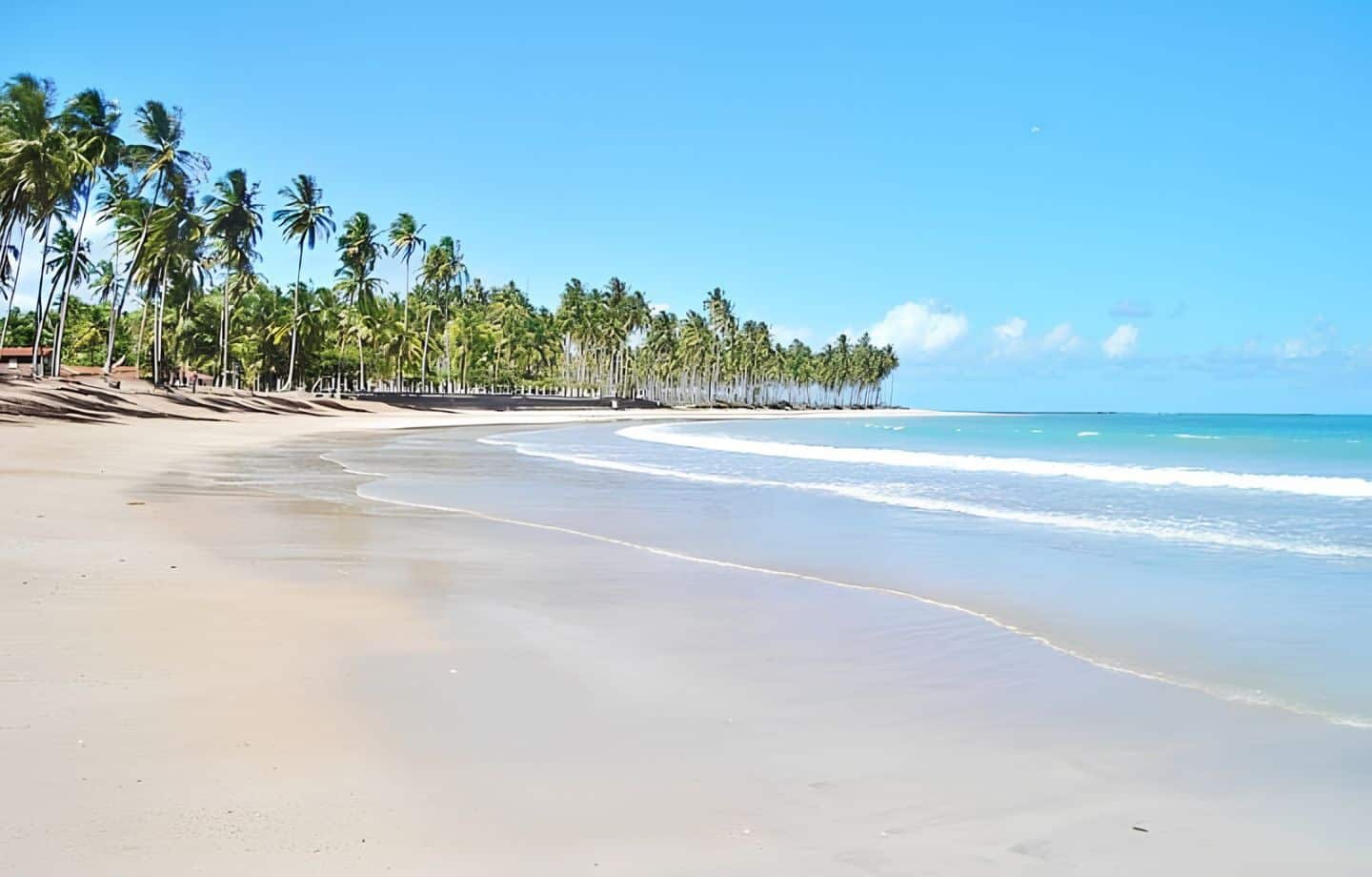
- São Miguel dos Milagres Beach: good infrastructure, with restaurants and guesthouses facing the sea.
- Toque Beach: white sand and warm waters.
- Porto da Rua: by contrast, the busiest, with more restaurants and guesthouses.
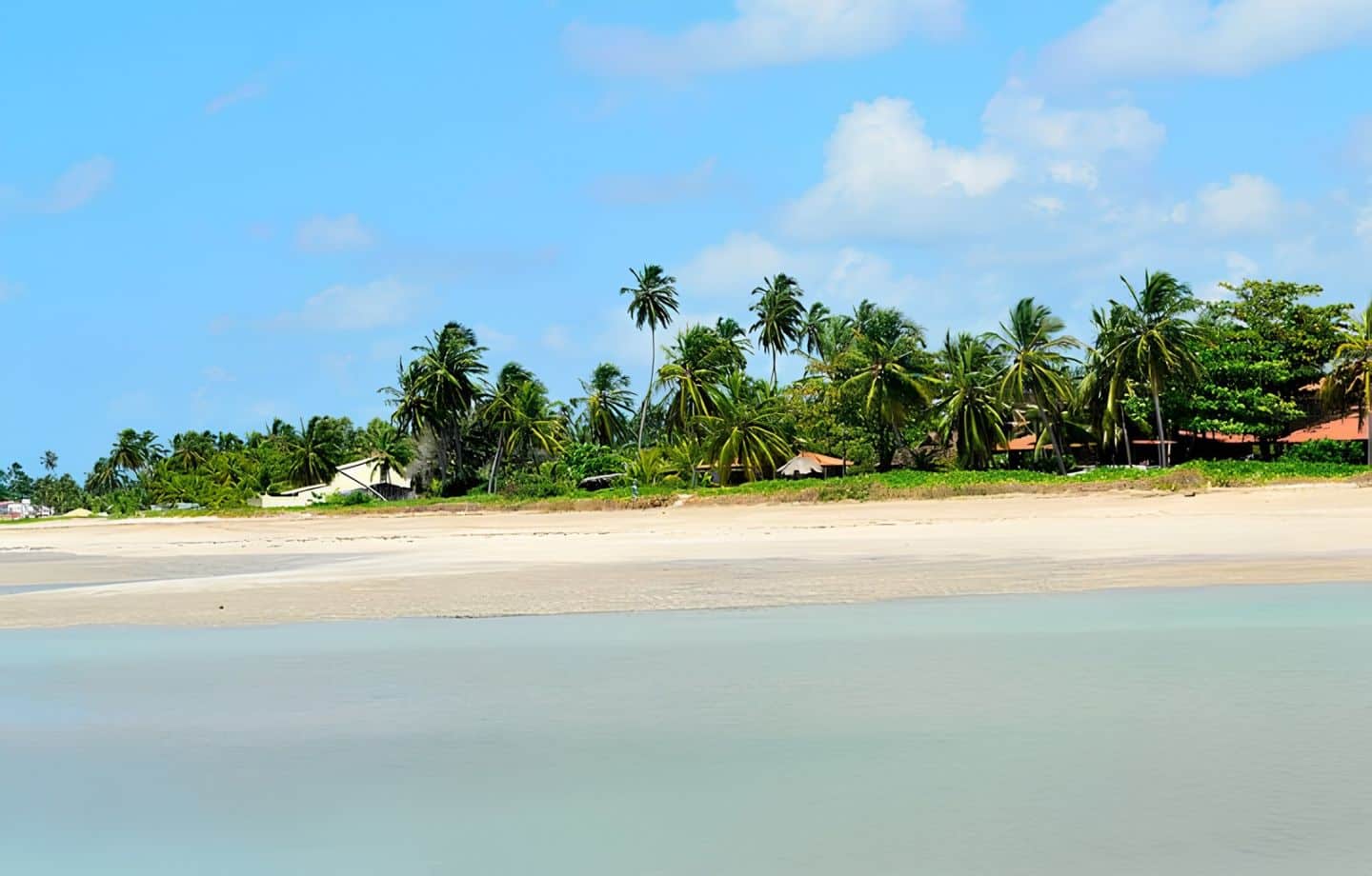
- Riacho Beach: famous for its leaning coconut palms, which are great for photos.
Frequently asked questions about Maragogi and neighboring towns
What is the order of the towns on the Maragogi beaches map?
From north to south: São José da Coroa Grande (PE), Maragogi, Japaratinga, Porto de Pedras and São Miguel dos Milagres.
Thus, they are all on the Costa dos Corais.
Which town is next to Maragogi?
To the north, São José da Coroa Grande (PE); on the other hand, to the south, Japaratinga (AL).
For this reason, you can visit both on a day trip.
Which town comes before Maragogi when leaving from Maceió?
Along the coast, you first pass through São Miguel dos Milagres, Porto de Pedras and Japaratinga.
In general, the route follows the AL-101 Norte highway.
Where are the Galés de Maragogi?
They are on the reefs in front of the town, a few kilometers off the coast, with access by boat.
However, they only really appear at low tide.
What is the best beach near Maragogi?
In Maragogi, for example, Barra Grande and Antunes; in the neighboring towns, Patacho and Riacho Beach.
However, the best choice depends on the tide that day.

Publicações Relacionadas

The Best Beaches in Alagoas That You Must Explore
Where to Stay in Maceió: Best Areas Revealed
3 Days in Maceió and Surroundings: A Guide
Marapé Dunes: where the river, lagoon and sea meet in Jequiá da Praia

Explore the best beaches in Maceió and the surrounding area

A 5-day tour of Alagoas: The best destinations

Barra Grande Beach: Discover Stunning Landscapes
Maceió: Your Guide to Visiting Alagoas in Brazil
The Best Beaches in Alagoas: Hidden Gems Revealed
Beaches on the North Coast of Alagoas: Maceió to Maragogi
Nine Islands Archipelago: A Guide to Paradise
Maceió beaches map: city beaches, natural pools and tips
Beaches in Maceió: A coastal paradise awaits

Coral Coast: Discover the Beauty of Alagoas
South Coast of Alagoas: beach map, Gunga and Francês
Piaçabuçu: Adventure on the banks of the São Francisco River

Piranhas: A Colonial Gem by the River
Penedo, Alagoas: things to do, history and sights
Maragogi Attractions: Snorkeling in Natural Pools
Japaratinga: Your Guide to Coral Coast Relaxation
São Miguel dos Milagres: Explore Untouched Beaches
Barra de Santo Antonio: The Best Beaches to Visit
Barra de São Miguel: Beaches and Attractions Guide
Marechal Deodoro: Historical Heritage and Paradise Beaches
Maceió: Top Beaches and Attractions to Explore