The exploration of the west coast of Africa was a milestone in Portuguese maritime expansion in the 15th and 16th centuries, driven by economic, strategic and scientific motivations.
The initiative of Prince Henry and the expeditions of navigators such as Gil Eanes, Diogo Cão and Bartolomeu Dias opened up new routes and established trading posts.
These voyages paved the way for maritime links with India and profoundly altered the commercial and geopolitical networks of the time, consolidating the Portuguese presence along the African coast and influencing the course of overseas navigation.

Portugal's Maritime Expansion - Exploration of the West Coast of Africa
Exploration of the west coast of Africa
1. Beginning of navigation — Dom Henrique (1434)
Prince Henry began the exploration of the west coast of Africa by ordering his assistant Gil Eanes to round Cape Bojador (1434).
Gradually, his captains reached Cape Blanco, the mouth of the Senegal River, Cape Verde, Gambia, Sierra Leone and Cape Palmas.
2. Continuity and difficulties — King Afonso V (mid-15th century)
After the death of the Infante, discoveries continued to Guinea and nearby islands, still during the reign of King Afonso V.
However, as a result of a war with Castile, León and Aragon, this king was forced to recognise Spanish sovereignty over the Canary Islands.
3. New momentum and discoveries — King João II (late 15th century)
King João II, son and successor, gave new and great impetus to the exploration of what remained unknown on the west coast of Africa. He began by ordering Diogo de Azambuja to found the trading post and fortress of São Jorge da Mina.
His captains Diogo Cão and Bartolomeu Dias reached points beyond the Congo and the Cape of Storms, respectively.
The latter, reached in 1488, was renamed the Cape of Good Hope, as the change in direction of the South African coastline made the discovery of a sea route to India plausible.
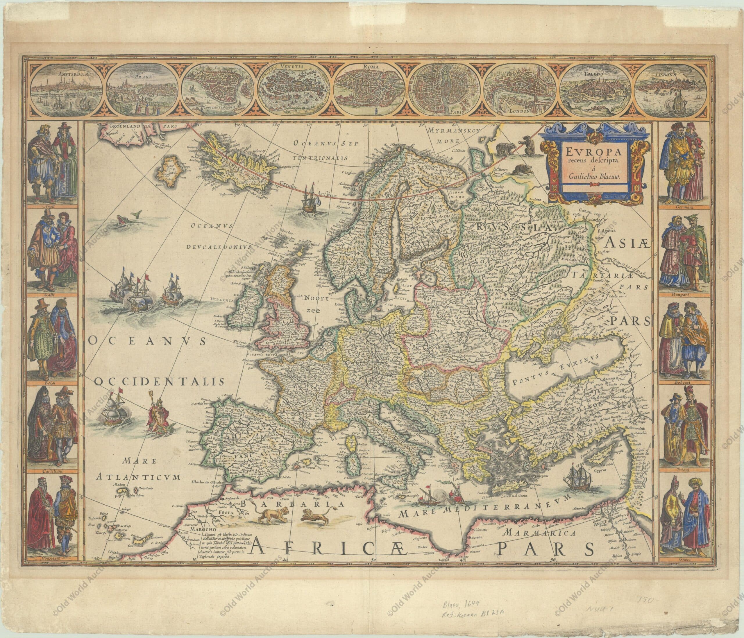
The side borders contain the costumes of the noblemen and women of ten European nations. The map is embellished with sailing ships, sea monsters, bears and Neptune riding a dolphin and holding his trident.
A beautiful map produced at the height of the Golden Age of Dutch mapmaking; it was included in the first volume of Blaeu’s magnificent atlas. Latin text on verso, published between 1644-55.
Publication: Theatrum Orbis Terrarum – Blaeu’s Carte-a-Figures Map of Europe – “Europa Recens Descripta”, Blaeu, Willem
This post is also on:
![]() Português
Português ![]() English
English ![]() Deutsch
Deutsch ![]() Español
Español ![]() Français
Français


