The captains of Pedro Álvares Cabral’s fleet proposed sending an expedition to explore the new land further. In 1501, King Manuel accepted the proposal and organised three ships for the mission.
The main objective was to explore the newly discovered land in greater detail. This involved recognising and mapping the coastline, identifying ports and geographical features, gathering information about the inhabitants and resources (such as brazilwood) and consolidating ownership and routes for future trade and navigation.
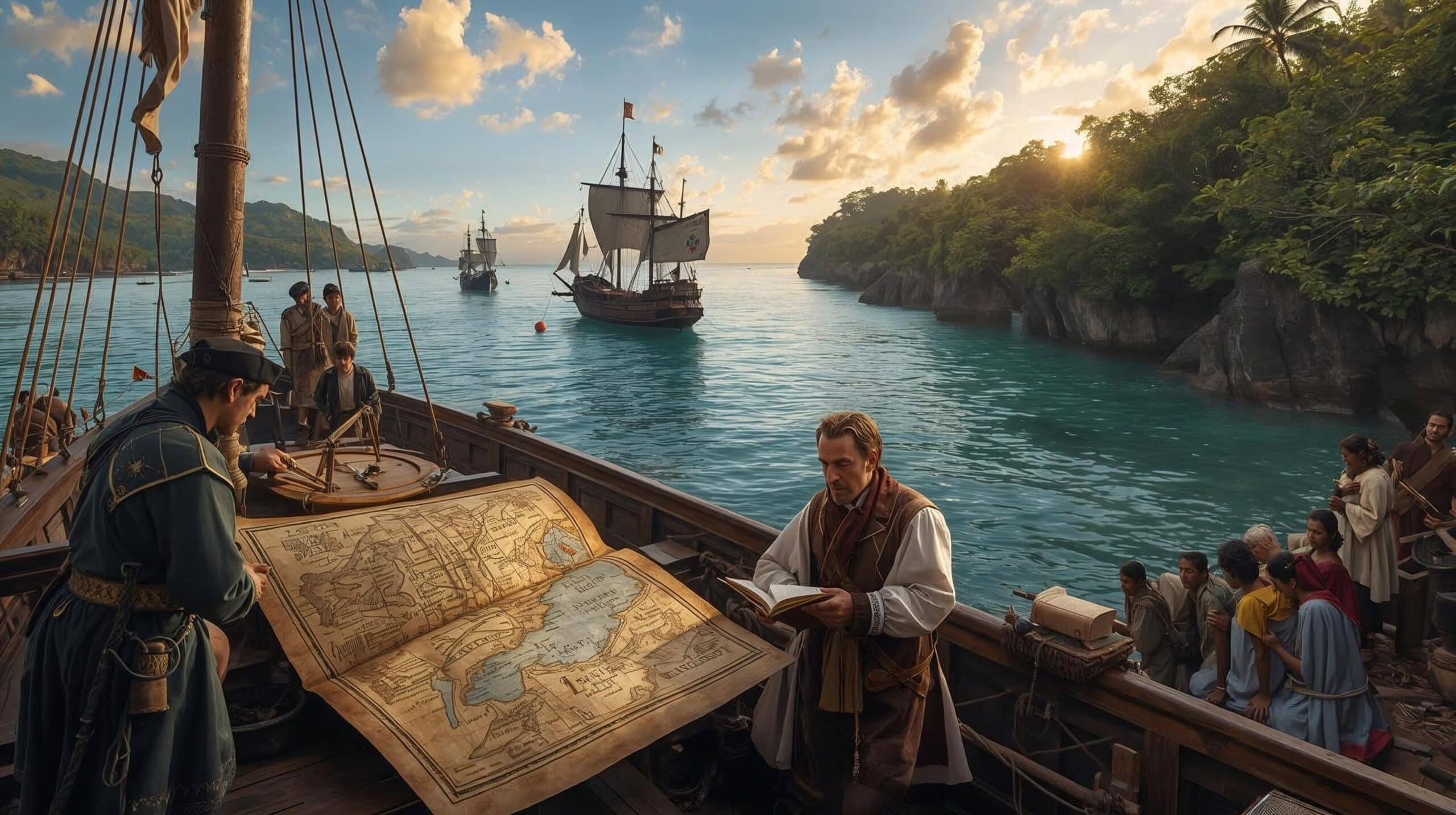
A Expedição de 1501: exploração, rotas e relatos sobre o litoral brasileiro
1. Expedition command
It is not known for certain who was in command of the fleet. Vamhagen suggested shipowner Dom Nuno Manuel, while Cândido Mendes de Almeida suggested André Gonçalves.
This was accepted for some time by João Capistrano de Abreu and the Baron of Rio Branco, but was later discarded when his name was excluded from several lists of Cabral’s commanders.
The Portuguese historian Duarte Leite believed that the commander was Fernão de Noronha and that the expedition was organised by the Florentine merchant Bartolomeu Marchioni for private purposes — a hypothesis that was considered unacceptable.
The name Gonçalo Coelho was also suggested. However, it is more likely that the order was given to Gaspar de Lemos, Cabral’s captain, who delivered the news of the discovery.
2. Participants and sources
Amerigo Vespucci, a Florentine who was incorrectly identified as the commander, took part in the expedition. Much of the information about this voyage comes from him.
Reliable data on the exploration and naming of geographical features on the east coast of Brazil can be obtained by comparing accounts with place names recorded on maps of the time, especially the so-called Cantino map, and with the notarial deed of Valentim Fernandes, who was a notary for German merchants in Lisbon.
3. Route and points sighted

In May 1501, the flotilla left Lisbon and encountered part of Cabral’s fleet returning from India at Bezeguiche (near Cape Verde).
He crossed the Atlantic in 67 days, 44 of which were spent in storms, before reaching land near the present-day state of Rio Grande do Norte and beginning his exploration.
They were sighted and named successively according to the saints of the day and the religious calendar of the time.
- 16 August 1501: Cape St Roch
- 28 August 1501: Cape St. Augustine
- 29 September 1501: the São Miguel River
- 4 October 1501: the São Francisco River
- 1 November 1501: the Bay of All Saints.
- 21 December 1501: Cape St. Thomas.
- 1 January 1502: Rio de Janeiro is founded.
- 6 January 1502: Angra dos Reis
- 20 January 1502: the island of Saint Sebastian.
- 22 January 1502: the port of São Vicente.
4. Possible subsequent stops:
Vamhagen suggested that the fleet may have stopped at Cananéia and Cabo de Santa Maria (the mouth of the river that would later be named Prata) after this point. These locations are also marked on ancient maps.
5. Report by Valentim Fernandes (1508).
According to the notarial act of Valentim Fernandes (1508), which corroborates and elaborates on Vespucci’s account, the fleet followed the coastline of the land for almost 760 leagues. They found people who spoke a single language, baptised many of them and advanced southwards. They reached the Antarctic Pole at 58 degrees and, having encountered extreme cold at sea, returned to their homeland — all in 1502.
This information comes from the accounts of two men who lived there for twenty months. They may have been among the exiles left behind by Pedro Álvares Cabral.
6. Final remarks on Vespucci’s accounts.
Disregarding the apocryphal letters Mundus Novus and Lettera a Soderini, and favouring the letter addressed to Lorenzo de’ Medici (Lisbon, 1502) copied in the Riccardiano Codex (Florence), the following features stand out in Vespucci’s accounts: the mild climate of the land; the customs of the inhabitants, including cannibalism; and the presence of brazilwood.
This post is also on:
![]() Português
Português ![]() English
English ![]() Deutsch
Deutsch ![]() Español
Español ![]() Français
Français


