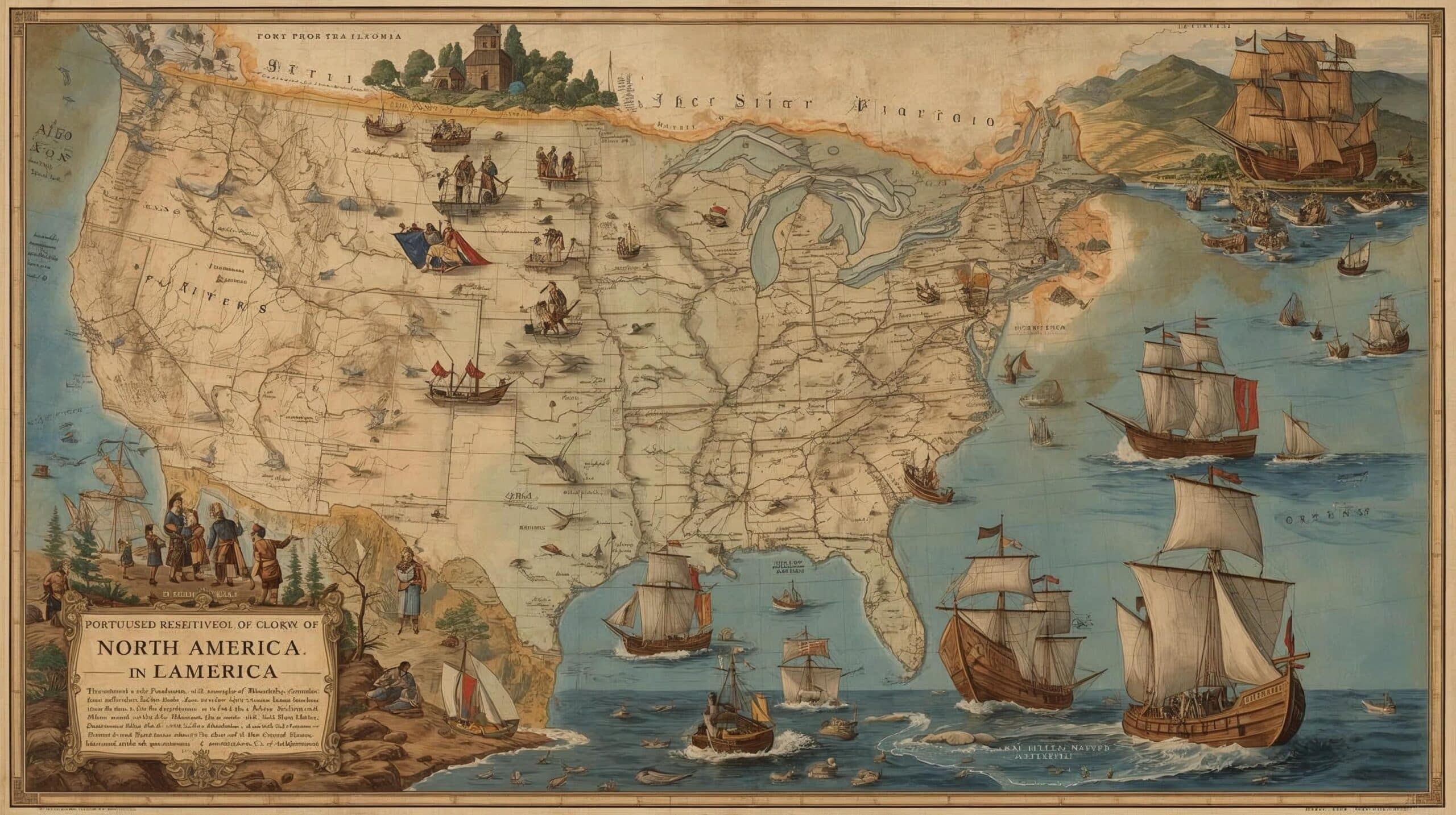
The Portuguese in North America
The Portuguese presence in North America dates back to the 15th and 16th centuries, a period marked by intense maritime exploration.
Motivated by the search for new trade routes and the desire to expand geographical knowledge, Portuguese navigators were pioneers in various areas of the continent.
In this text, we explore the main expeditions carried out by the Portuguese in the region, highlighting their achievements and significant contributions to the history of maritime exploration.
Portugal's Maritime Expansion - The Portuguese in North America
1. Initial Explorations
Portuguese maritime explorations also reached North America.
In 1474, João Vaz Côrte-Real and Álvaro Martins Homem were rewarded for their voyages to Terra do Bacalhau, which corresponds to the island of Newfoundland, probably accompanied by Danish navigators.
Today, the island of Newfoundland is known as Newfoundland Island, which is part of the province of Newfoundland and Labrador in Canada.
2. Voyages Before Columbus
In early 1492, before Christopher Columbus, João Fernandes, known as Lavrador, and Pedro de Barcelos, both from the Azores, set out on a three-year journey that took them to Greenland.
3. Chronology of Portuguese Explorations
- 1474: João Vaz Côrte-Real and Álvaro Martins Homem are rewarded for their voyages to Terra do Bacalhau, the Island of Terra Nova, or Newfoundland.
- 1492: João Fernandes and Pedro de Barcelos set out on a journey that takes them to Greenland.
- 1497: João Caboto carries out his expedition in the service of England, reaching the coast of Newfoundland.
- 1500: Gaspar Côrte-Real, authorised by King Manuel I, explores the region of Newfoundland and Labrador.
- 1502: Gaspar Côrte-Real resumes his explorations, but neither he nor his brother Miguel return.
- 1520: João Álvares Fagundes explores lands in Canada.
- 1525: Estêvão Gomes visits the northeast coast of what is now the United States.
- 1542: João Rodrigues Cabrilho discovers the coast of California, in the service of Spain.
4. Gaspar Côrte-Real and his Explorations
In 1500, authorised by King Manuel I, Gaspar Côrte-Real explored the same region, returning the following year and reaching what we now know as Labrador and Newfoundland.
The explorations resumed in 1502, but neither Gaspar nor his brother Miguel returned.
5. Other Portuguese Explorations
Later, other Portuguese navigators also left their mark on North America.
João Álvares Fagundes explored lands in Canada; Estêvão Gomes visited the northeast coast of what is now the United States; and João Rodrigues Cabrilho, a Portuguese in the service of Spain, discovered the coast of California on the Pacific Ocean.
This series of expeditions not only expanded the geographical knowledge of the time, but also established lasting ties between Portugal and the lands of the New World.


This post is also on:
![]() Português
Português ![]() English
English ![]() Deutsch
Deutsch ![]() Español
Español ![]() Français
Français


