Map of Cape St. Augustin from 1690 This beautiful panoramic view shows the Dutch fleet and the fortifications of Cape St Augustine. The strapwork title cartouche contains a numbered key identifying four locations. – “Afbeeldinge vande Cabo St. Augustin met Haer Forten”, Leti, Gregorio Map of Cabo de Santo Agostinho […]
Tag: Mapa de Cabo de Santo Agostinho de 1690
Latest posts
-
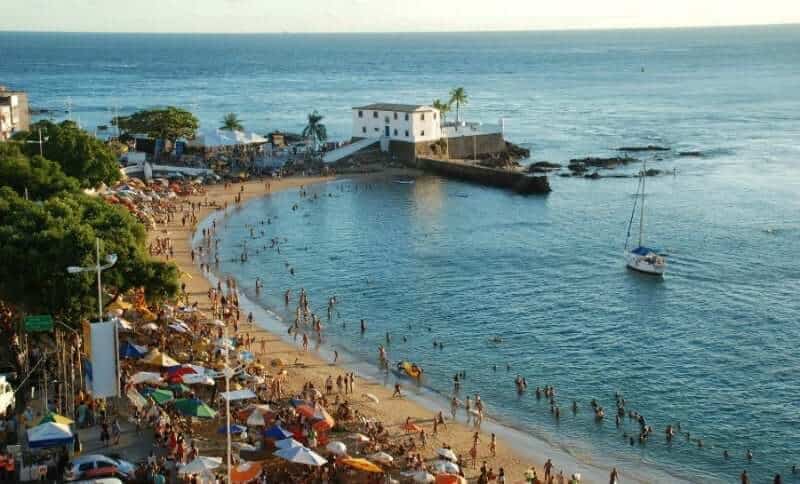
Rio Vermelho, Salvador: Largo de Santana, acarajé, nightlife
Rio Vermelho, in Salvador, is the city’s most famous bohemian and food neighborhood. By the sea, it brings together bars, acarajé stalls,
-
Lençóis, Bahia: Origins, the Diamond Cycle and Heritage
The history of Lençóis, in Bahia, begins with diamond mining. The origins of the town are linked to the discoveries made in 1844 in Mucugê and
-
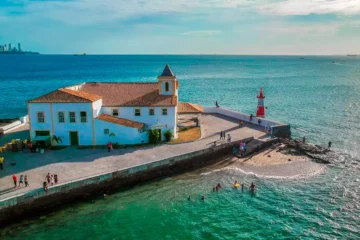
Ponta do Humaitá, Salvador: lighthouse, church, sunset
Ponta do Humaitá, also called Ponta de Humaitá, is on the Itapagipe Peninsula, in Salvador’s Lower City. There, a church, a monastery and a
-
Beaches of Salvador: all 23 beaches by area and tips
The beaches of Salvador stretch along about 50 km of coastline, between the Bay of All Saints and the open sea. That is why there are options for
-
Arembepe Beach, Bahia: Hippie Village, Piruí and map
Arembepe Beach lies in a former fishing village on the north coast of Bahia, in the municipality of Camaçari, about 40 km from Salvador. It is
-
7-Day Salvador Itinerary: What to Do Day by Day
This 7-day itinerary in Salvador and the surrounding area combines the Historic Centre, the Barra seafront, the islands of the Bay of All Saints and
-
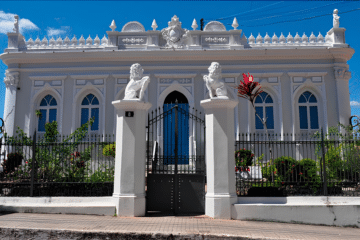
Paranaguá Palace — History, architecture and visiting information | Ilhéus (BA)
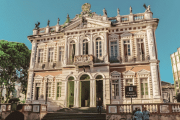
A listed neoclassical building in Ilhéus, a symbol of the heyday of the cocoa industry. Find out when it was built, what to see and how to organise
-
São Jorge Parish Church: historic church in Ilhéus, Bahia
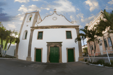
São Jorge Parish Church (Igreja Matriz de São Jorge) is one of the main historic monuments in downtown Ilhéus, in Bahia. According to IPAC