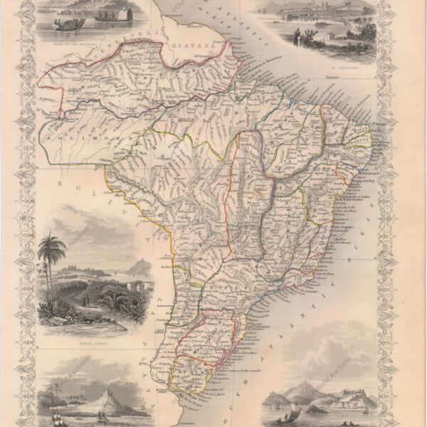
Map of Brazil from 1850 The maps in The Illustrated Atlas were first published in serial form for an audience isolated by the cost and difficulty of travel. All this changed as the 19th century brought rapid and dramatic changes in public awareness of distant places. Tallis’s maps undoubtedly played […]
Tag: John
Map of Brazil from 1850: A Historical Overview
Map of Brazil from 1850 The maps in The Illustrated Atlas were first published as a series for an audience that was isolated by the cost and difficulty of travel. All this changed as the nineteenth century brought rapid and dramatic changes in public awareness of distant places. Undoubtedly, Tallis’s […]
Copper Engraving of Salvador from 1748: History Explored
Copper engraving of Salvador, Bahia, 1748 This sheet shows two views of São Salvador, the capital of colonial Brazil. At the top is a panoramic view of the city’s fortifications, and at the bottom is a perspective view of Fort St Bartholomew and its protective harbour. Below is a key […]


