Map of South America 1601 – Historical Map

Mapa da América do Sul de 1601 - Descripcion de las Indias"Descripcion de las Yndias de Mediodia", Herrera y Tordesillas, Antonio de Antonio de Herrera Y Tordelisllas foi o historiador oficial de Espanha e das Índias. Ele compilou uma história das conquistas espanholas e das primeiras explorações nas Américas, que incluía este mapa do continente gravado de forma simples. O mapa é em grande parte derivado das cartas manuscritas de Juan Lopez de Velasco. O continente é dominado pelas enormes "R. de los Amazona" e R. de la Plato" e pela cordilheira ocidental. É apresentado o "Meridiano de la de Marcacion", que dividia o mundo não cristão entre Espanha e Portugal. Tratado de Tordesilhas: Tem este nome por ter sido redigido na cidade de Tordesilhas, na Espanha, e sua assinatura aconteceu nesta cidade em 7 de junho de 1494. Foi o responsável pela divisão do mundo em um meridiano estabelecido a 370 léguas a oeste das ilhas de Cabo Verde. As terras a ocidente pertenceriam à Espanha e as terras a oriente deste meridiano pertenceriam a Portugal.
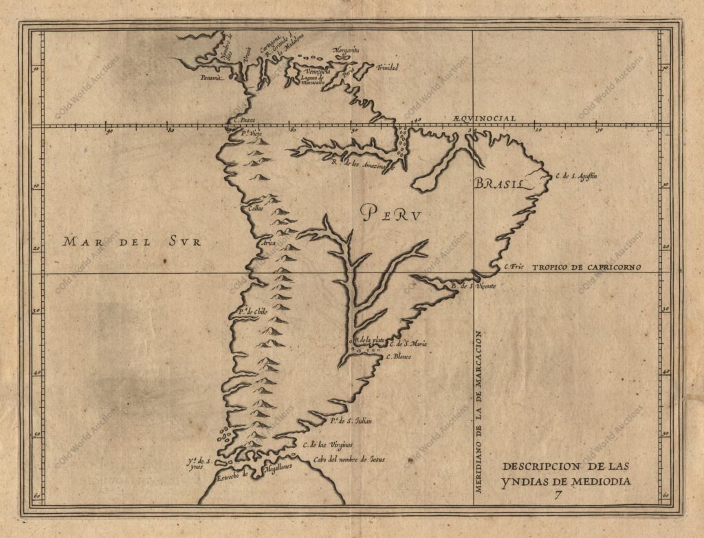
Map of South America 1601 – Descripcion de las Indias “Descripcion de las Yndias de Mediodia”, Herrera y Tordesillas, Antonio de Antonio de Herrera y Tordesillas was the official historian of Spain and the Indies. He compiled a history of the Spanish conquests and early explorations of the Americas, which included this simply engraved map of the continent. The map is largely based on the handwritten maps of Juan Lopez de Velasco. The continent is dominated by the huge “R. de los Amazona” and “R. de la Plato” and the western mountain range. The Meridiano de la de Marcacion is shown, which divided the non-Christian world between Spain and Portugal. Treaty of Tordesillas: Named after the town of Tordesillas, Spain, where it was signed on 7 June 1494. It was responsible for dividing the world along a meridian established 370 leagues west of the Cape Verde Islands. The lands to the west belonged to Spain and the lands to the east of this meridian belonged to Portugal.

Map of South America 1601 – Descripcion de las Indias

“Descripcion de las Indias de Mediodia”, Herrera y Tordesillas, Antonio de

Antonio de Herrera y Tordesillas was the official historian of Spain and the Indies.

He compiled a history of the Spanish conquests and early explorations of the Americas, which included this simply engraved map of the continent.

The map is largely based on the handwritten maps of Juan Lopez de Velasco.

The continent is dominated by the huge “R. de los Amazona” and “R. de la Plato” and the western mountain range.

The Meridiano de la de Marcacion is shown, which divided the non-Christian world between Spain and Portugal.

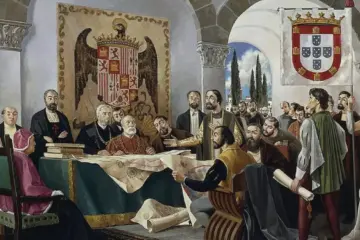
Treaty of Tordesillas: Named after the town of Tordesillas, Spain, where it was signed on 7 June 1494.

It was responsible for dividing the world along a meridian established 370 leagues west of the Cape Verde Islands. The lands to the west of this meridian belonged to Spain and the lands to the east of this meridian belonged to Portugal.

This post is also on: Português English Deutsch Español Français