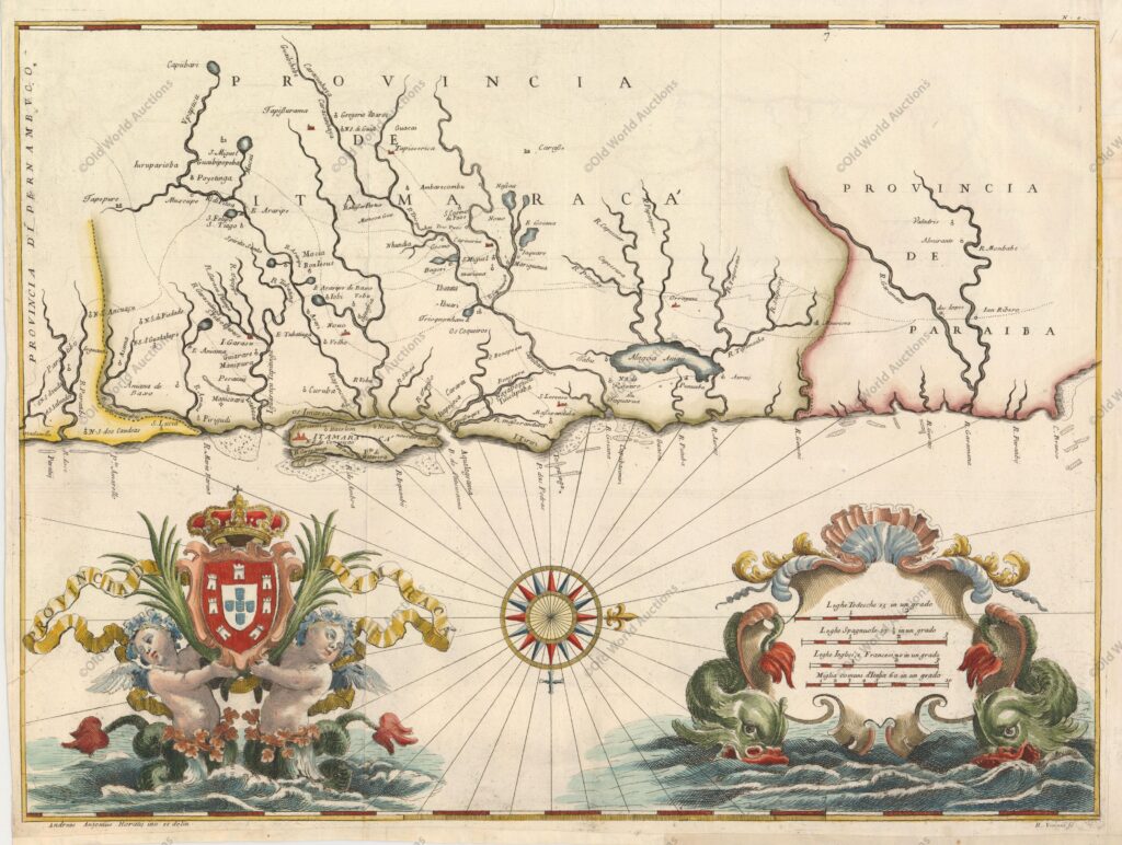
Map of Brazil from 1698 – Istoria delle Guerre del Regno del Brasile
“Itamaraca, Brazil”, Horatius, Andreas Antonius
This magnificent map of the Brazilian province of Itamaraca, including part of Paraíba, was one of the 23 maps in this rare account of the Dutch-Portuguese colonial war.
Written by João José de Santa Teresa and known to bibliophiles as the Santa Teresa, it is considered one of the most sumptuous 17th-century works on Brazil.
Santa Teresa, a Portuguese Carmelite, spent twelve years in the Jesuit missions of South America before returning to Europe to become librarian of the Jesuit College in Rome. His map was heavily subsidised by Pedro II of Portugal, and some of the leading artists and engravers of the day, including António Horácio Andreas, were employed on the project.
The map was published by Giacomo Giovanni Rossi. The map itself is very well designed and provides an excellent overview of the region, with rivers and streams carefully delineated, the locations of villages, missions and forts recorded, roads and tracks shown, and even navigational hazards along the coast.
The elaborate ornaments in the sea flank the fine compass rose and are some of the most decorative elements in the cartography. A pair of water elves support the Portuguese coat of arms at the top, and sea monsters support the distance scale cartouche.
Map of Brazil 1698 – Historical Map


