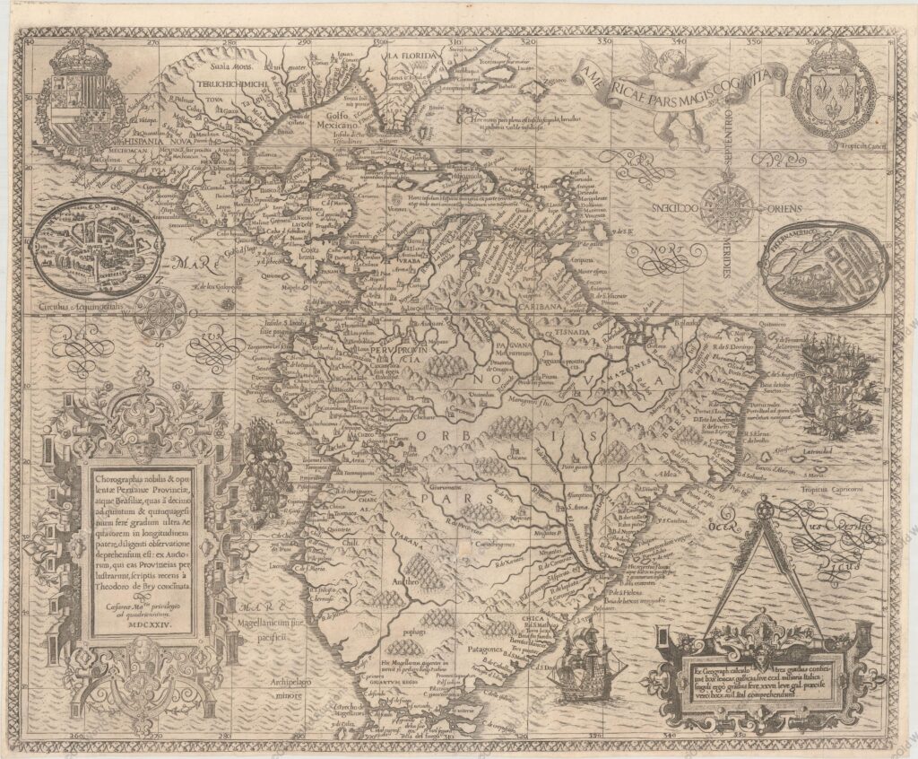
Map of South America and Brazil, 1624
This engraving is part of a remarkable series of publications illustrating voyages of discovery and exploration in different parts of the world.
The project was begun by Theodore de Bry of Frankfurt in 1590 and was to continue for another 54 years.
Together they became known as the Grands Voyages (to America and the West Indies) and the Petits Voyages (to the Orient and the East Indies).
De Bry died after the first six parts of the Grands Voyages had been completed. The project was completed first by his widow and two sons, Johann Theodore de Bry and Johann Israel de Bry, and then by his son-in-law, Matthaus Merian, in 1644.
Map of South America and Brazil, 1624 – Historical Map


