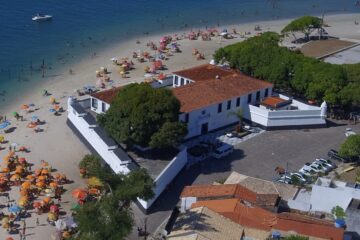
Engraving of the Fort Reis Magos from 1690 – Natal An aerial view of the fort (now Natal) at the mouth of the River Potengi, showing the Dutch invasion and capture of the Portuguese fort in 1633. The harbour is full of ships and armies are shown rushing to defend […]
Tag: Leti
Gravura da Baia de Todos os Santos de 1690
Gravura da Baia de Todos os Santos de 1690 Bela gravura em cobre ilustrando a frota holandesa capturando o forte na entrada da Baía de Todos os Santos, no nordeste do Brasil. A cena é muito ativa com canhões ondulantes e pequenas figuras correndo para a ação. Grande plano de […]
Map of Cabo de Santo Agostinho from 1690
Map of Cape St. Augustin from 1690 This beautiful panoramic view shows the Dutch fleet and the fortifications of Cape St Augustine. The strapwork title cartouche contains a numbered key identifying four locations. – “Afbeeldinge vande Cabo St. Augustin met Haer Forten”, Leti, Gregorio Map of Cabo de Santo Agostinho […]
Map of Paraíba of 1690 – Historical Maps of Brazil
Map of Paraíba from 1690 This panoramic map shows the region of Paraíba and the Portuguese fortifications at the mouth of the Paraíba River. The scene of the Dutch attack on the region is illustrated with the Dutch fleet and the defence of the Portuguese armies. “Afbeeldinghe van Pariba ende […]


